

Landsat’s Accuracy
Earth Resources Observation and Science (EROS) Center - Earthshots
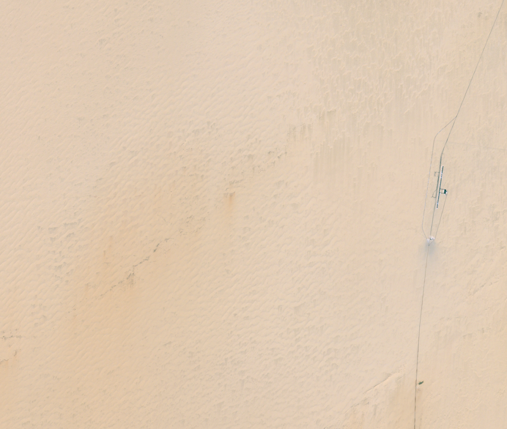
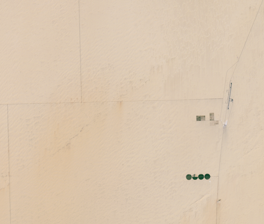
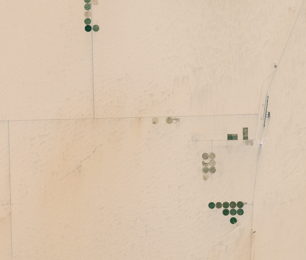
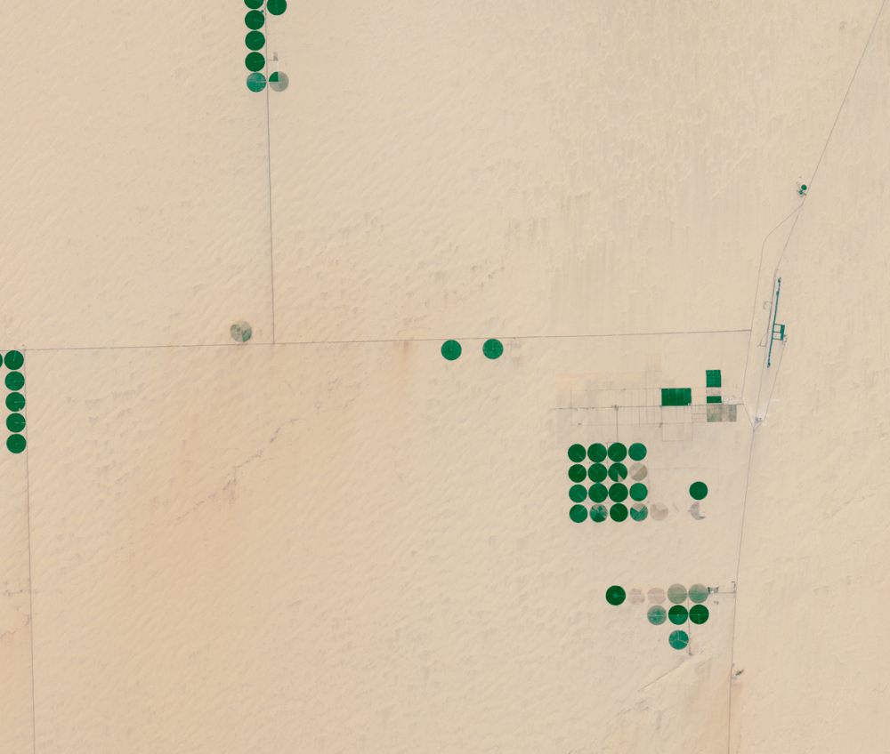
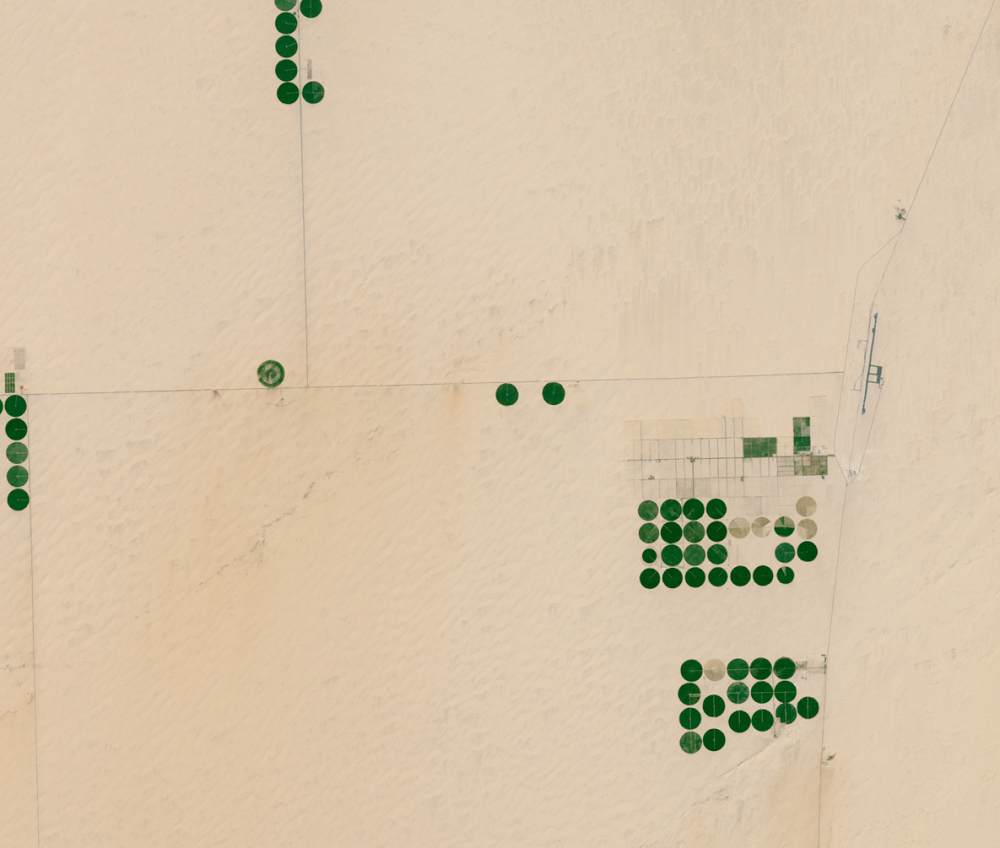
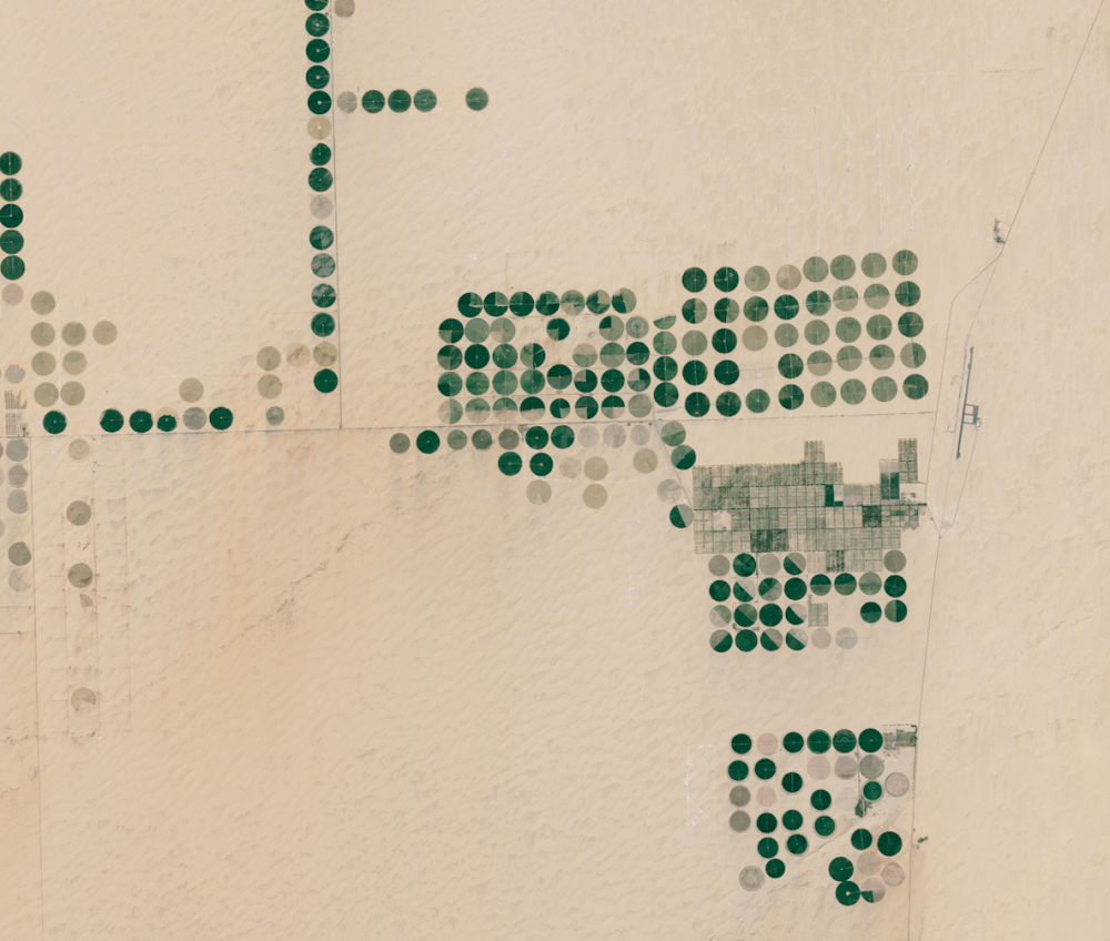
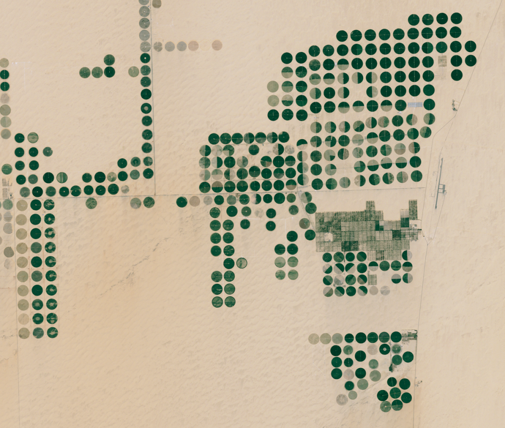
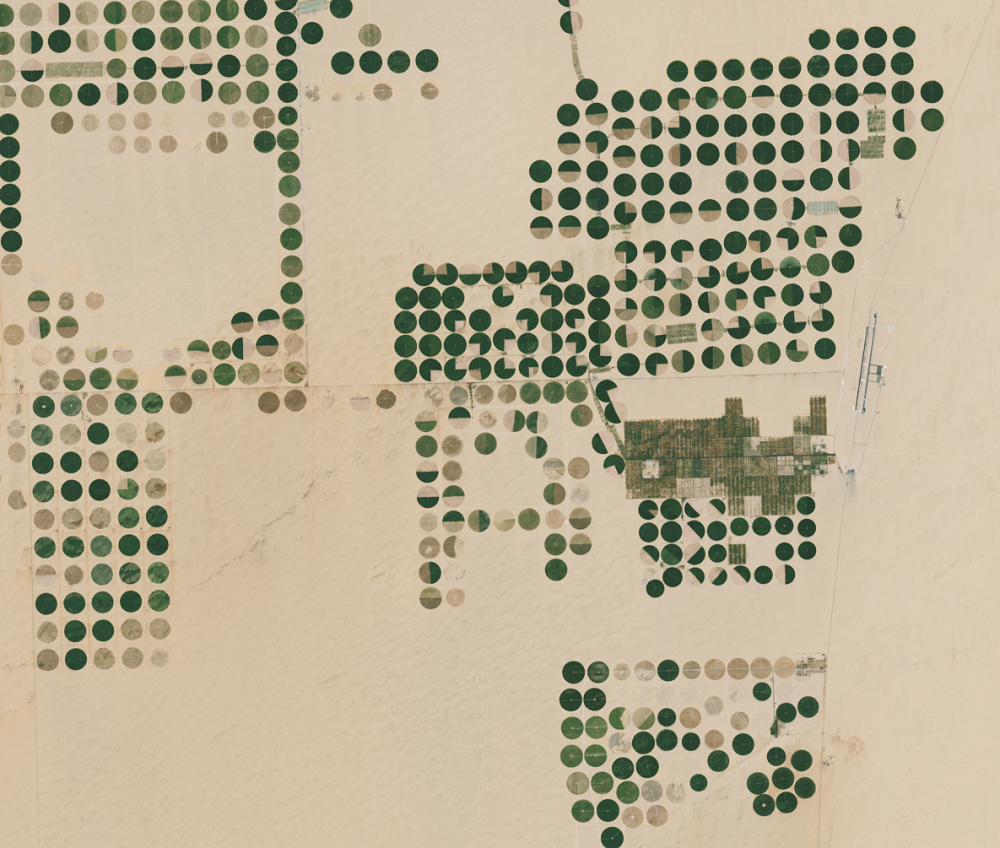
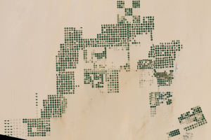
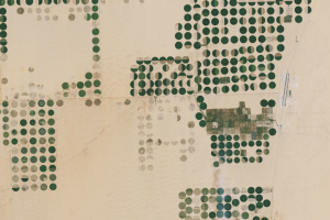
The Sharq El Owainat airport is visible on the right side of these images. The runway appears in the 1997 image.
Landsat’s accuracy is key to other systems as well. Satellite sensors launched by other countries, cubesats launched by private companies, and sensors on NASA Earth-observing satellites benefit from the accurate Landsat calibration.
Calibration work may seem esoteric, but it makes the science application work possible. The work that solves problems couldn’t be done without the accuracy of the data. Landsat images are simply pretty pictures—until we calibrate them; then they become accurate datasets.
Imagery


Downloads
Related Content
Sharq El Owainat, Egypt
The Landsat satellites were designed to detect landscape changes over ...
Picking Calibration Sites
Engineers use test sites around the world to make sure Landsat imagery...

Watering the Sahara
One of the best test sites, named Egypt-2, was steadily reliable until...
Landsat’s Accuracy
The Sharq El Owainat airport is visible on the right side of these ima...

Earth As Art
The view of this region from Landsat is so fascinating, it’s the subje...