

Moving a Town
Earth Resources Observation and Science (EROS) Center - Earthshots
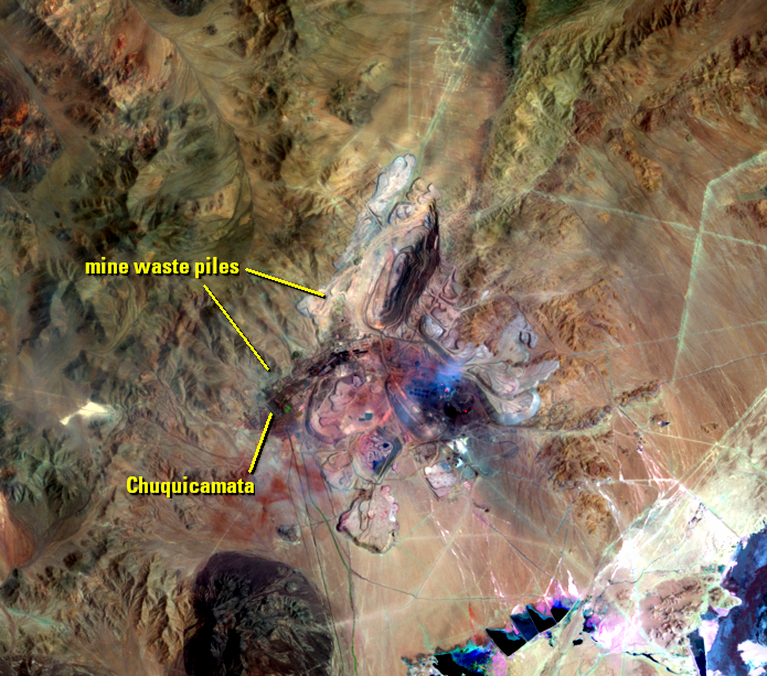
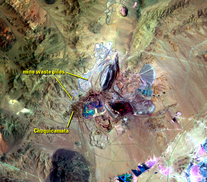
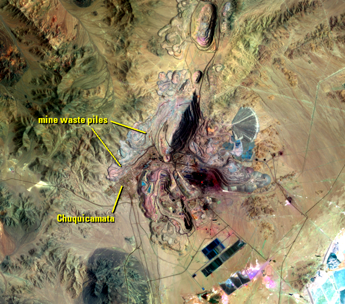
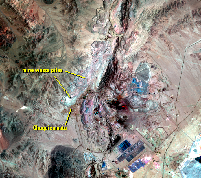
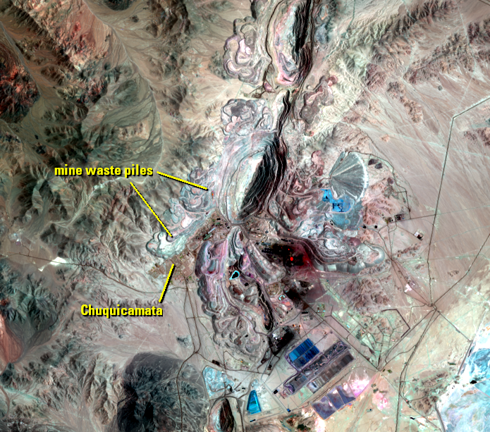
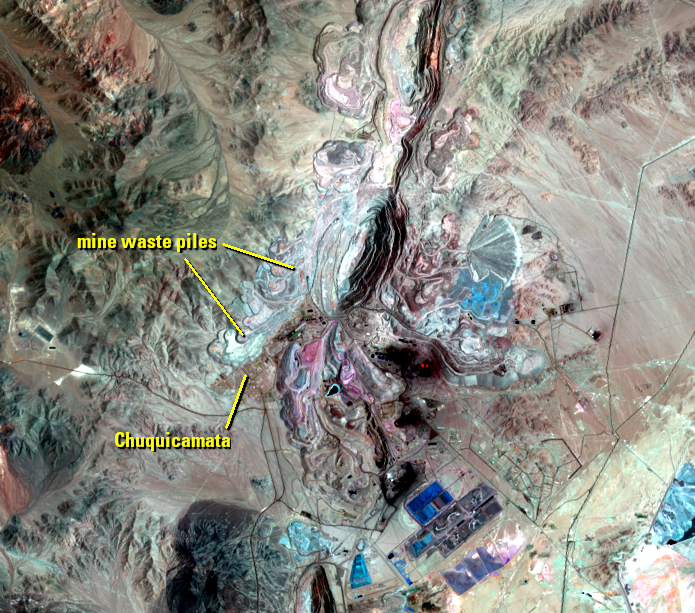
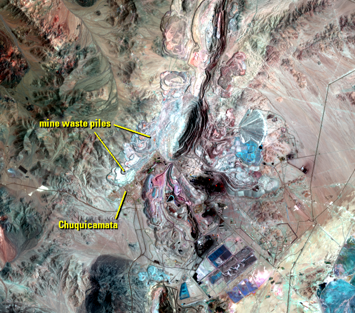
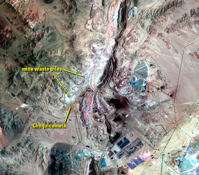
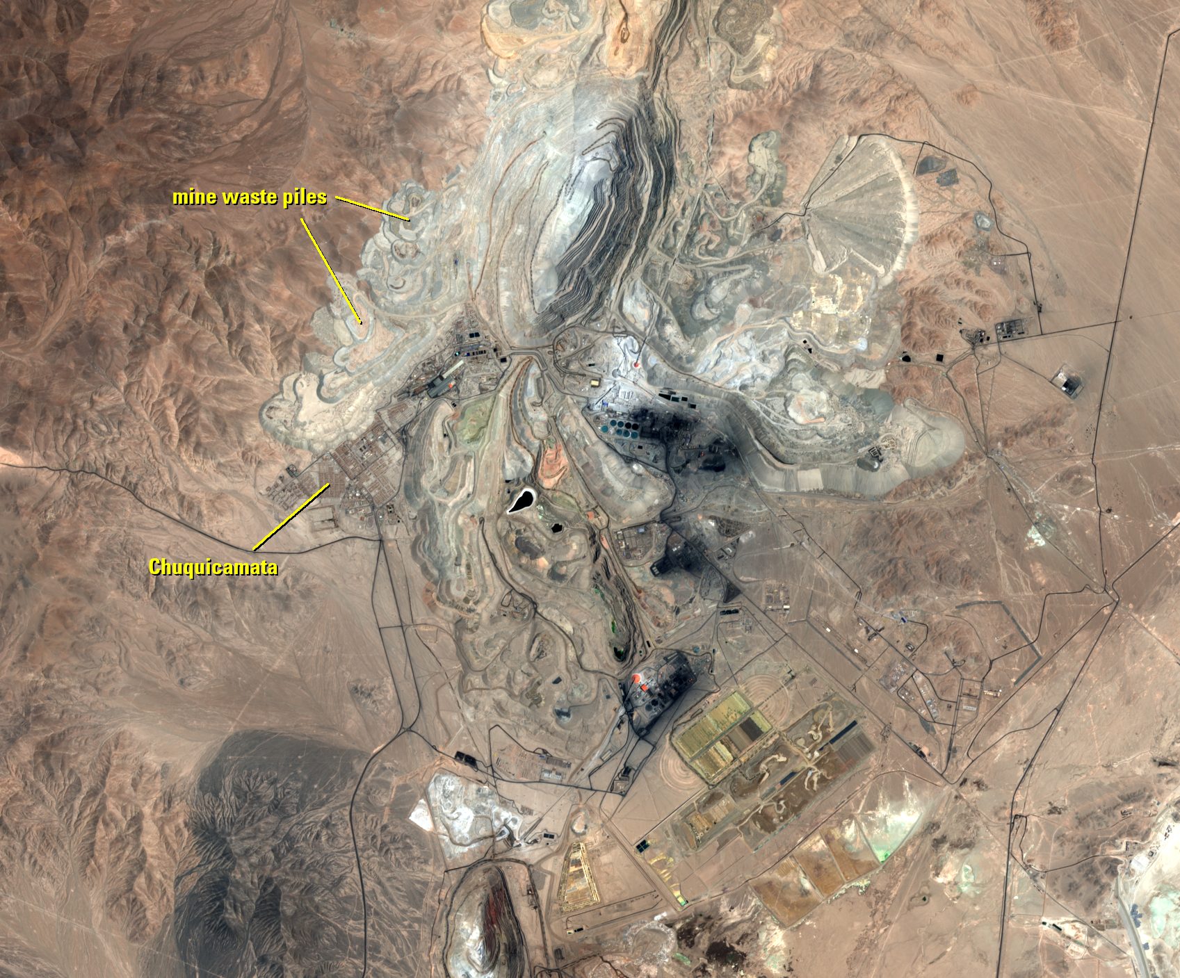
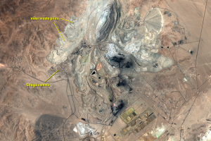
The town of Chuquicamata was established as a mining camp when mining operations opened. After much mining and open pit expansion, the town ended up being too close to the mining operations. Dust from the mine and gases from the nearby smelting plant caused the mining company to relocate the entire town.
Besides the health and safety concerns, the company was running out of convenient places to pile up mine waste. To extract 1 kilogram of copper, 100 kilograms of rock has to be removed from the ground. That waste material has to go somewhere. So now, the site of the former town is beginning to be buried in mine waste.
Most of the town has not yet been buried and stands as a ghost town. Residents were moved to Calama, a city about 15 kilometers away. Codelco, the government company that owns the mine, built over 5,000 homes—one for each family. Residents began moving in 2004, and by September 2007, Chuquicamata was officially abandoned.
The Landsat images show the location of the former town and the piles of mine waste encroaching on its north side. An image from Europe's Copernicus Sentinel-2 satellite zooms in closer with finer resolution to show the location of the town in more detail.
Imagery
Downloads
Related Content
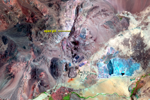
Chuquicamata Mine, Chile
The Atacama Desert of northern Chile has minimal vegetation. But it ha...
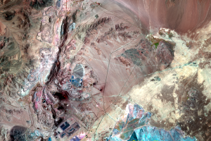
Mining
As part of the mining, huge amounts of material are dug up and removed...
Moving a Town
The town of Chuquicamata was established as a mining camp when mining ...
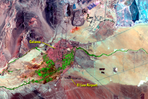
Calama
As expected in the Atacama Desert, Landsat doesn’t detect much vegetat...