

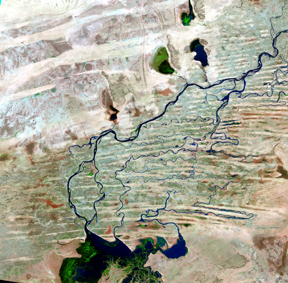
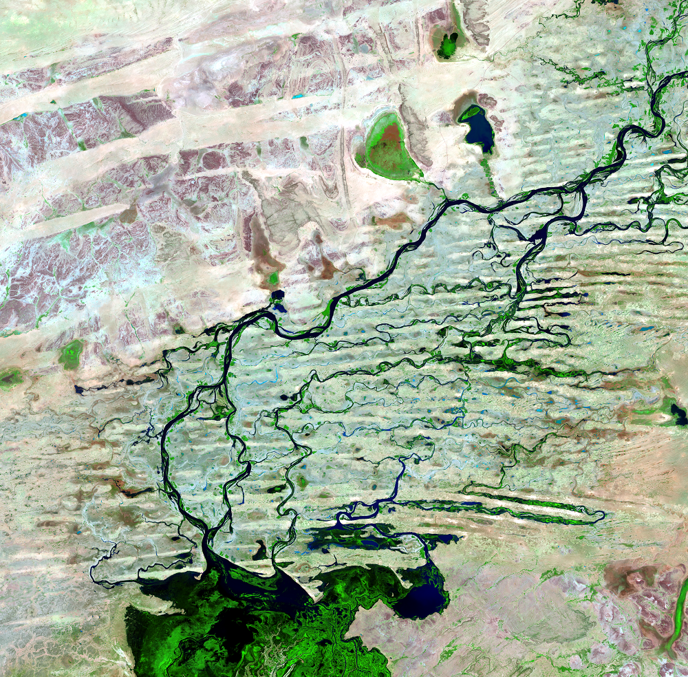
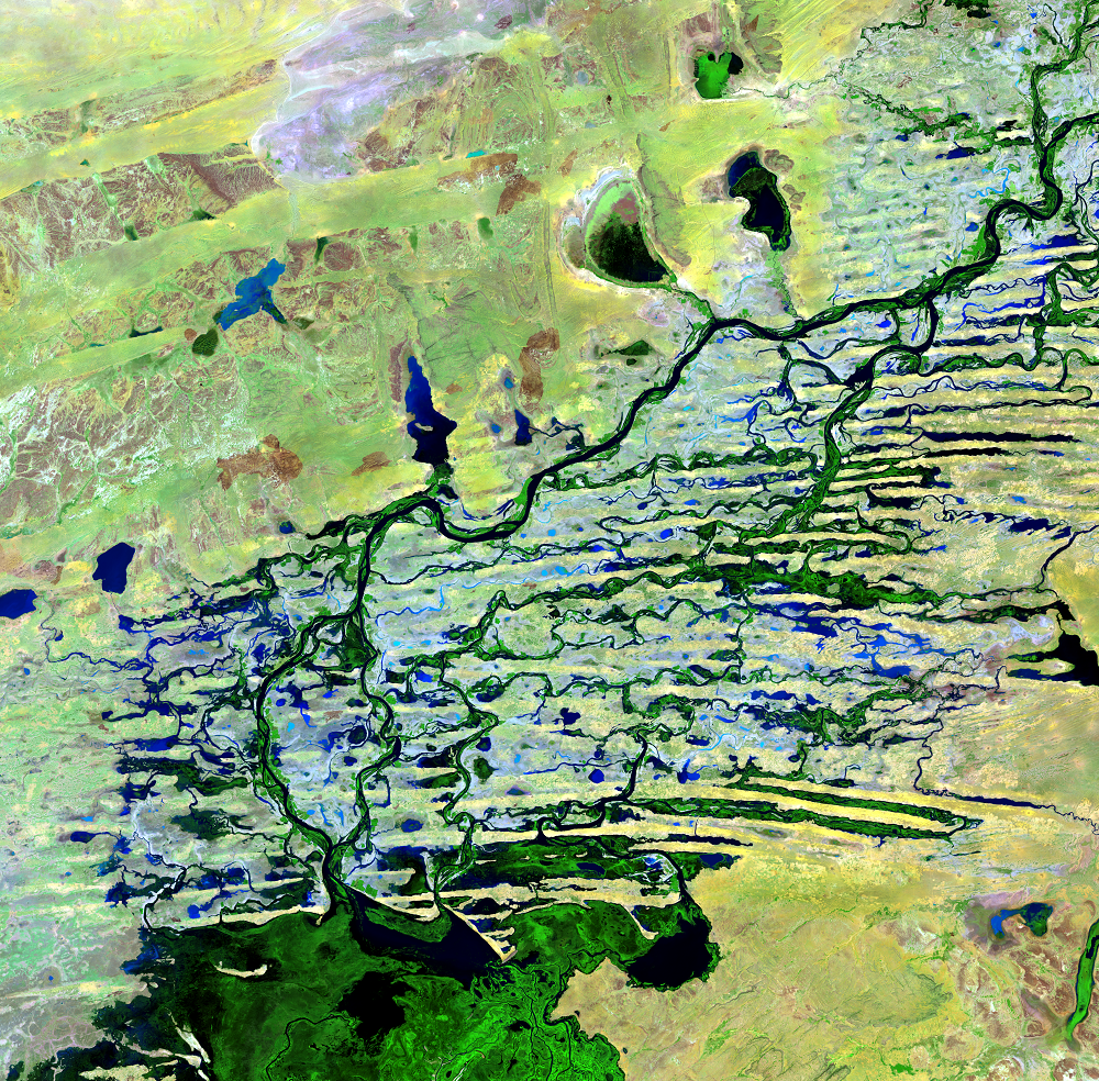
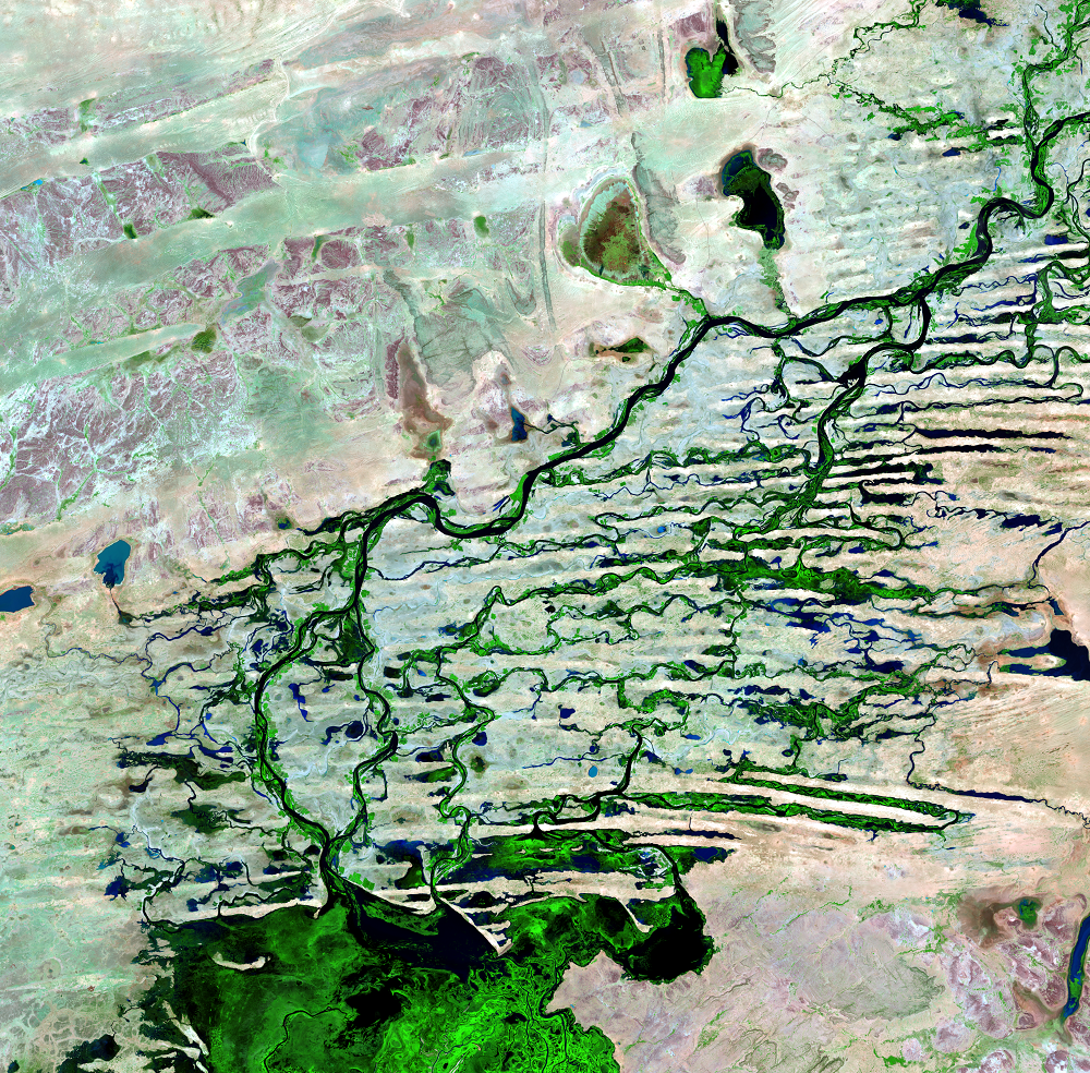
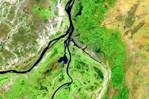
Northern Delta
Earth Resources Observation and Science (EROS) Center - Earthshots
In the northern portion of the delta, channels fill in between sand dunes during the flood season. Temporary lakes also fill during high floods. The water reaching these lakes is not returned to the river as flood waters recede.
The north receives far less precipitation than the southern portion. The mean annual precipitation there is just 200 mm (7.9 inches).
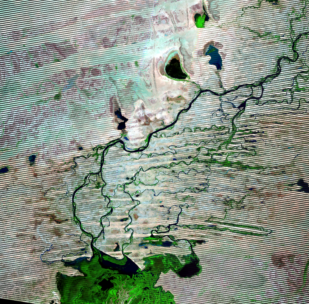
(Black stripes run through the 2011 image because of the Scan Line Corrector failure on Landsat 7 in May 2003.)
Imagery
Downloads
Related Content
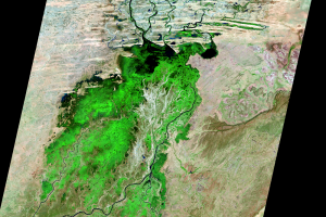
Inland Delta of the Niger River, Mali
On the edge of the Sahara Desert lies one of the world’s most producti...
Annual Change
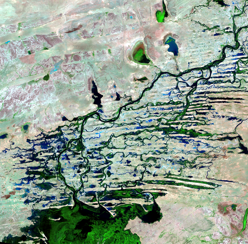
In the flooded season, this part of Mali’s landscape stands out as bri...
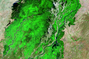
Southern Delta
The Inland Niger Delta lies in the transition between a seasonally wet...
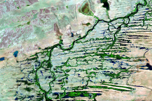
Northern Delta
In the northern portion of the delta, channels fill in between sand du...
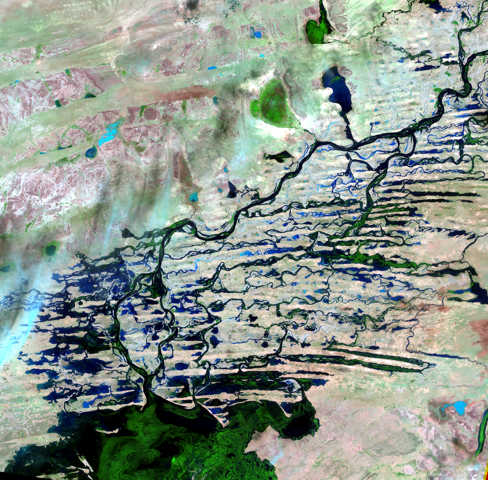
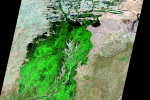
Seasonal Flooding
During the flood season, the delta can grow to 20,000 square kilometer...
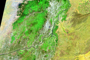
Mopti
The busy port city Mopti is located at the confluence of the Niger and...