

Springfield
Earth Resources Observation and Science (EROS) Center - Earthshots
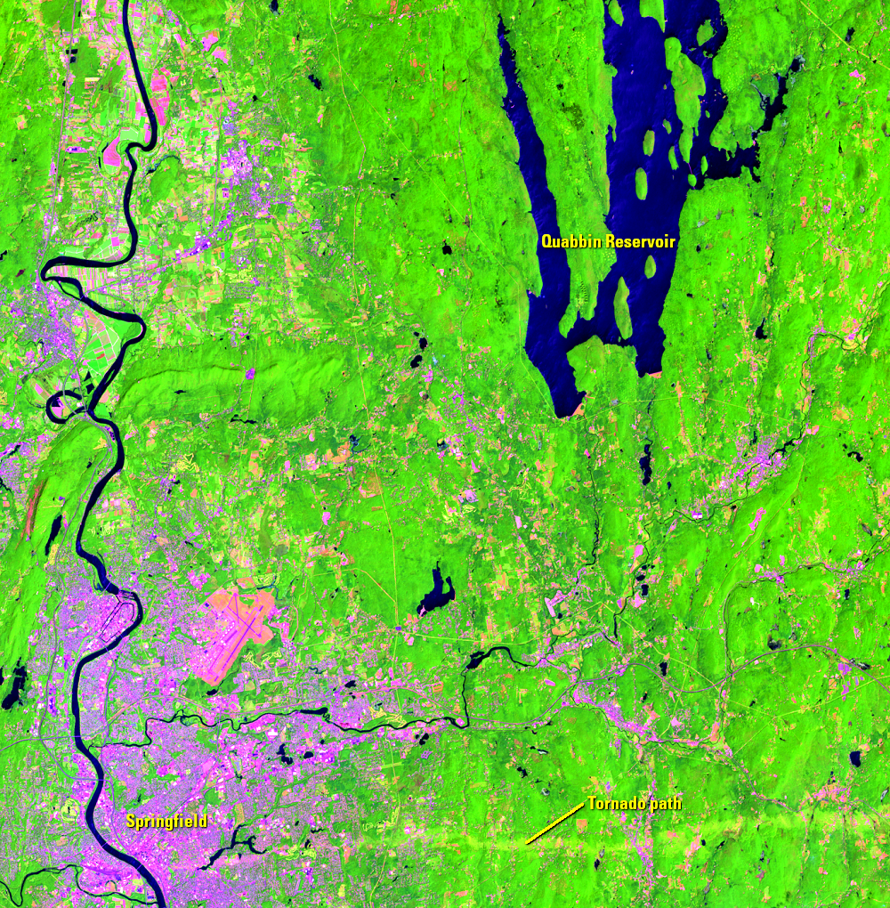
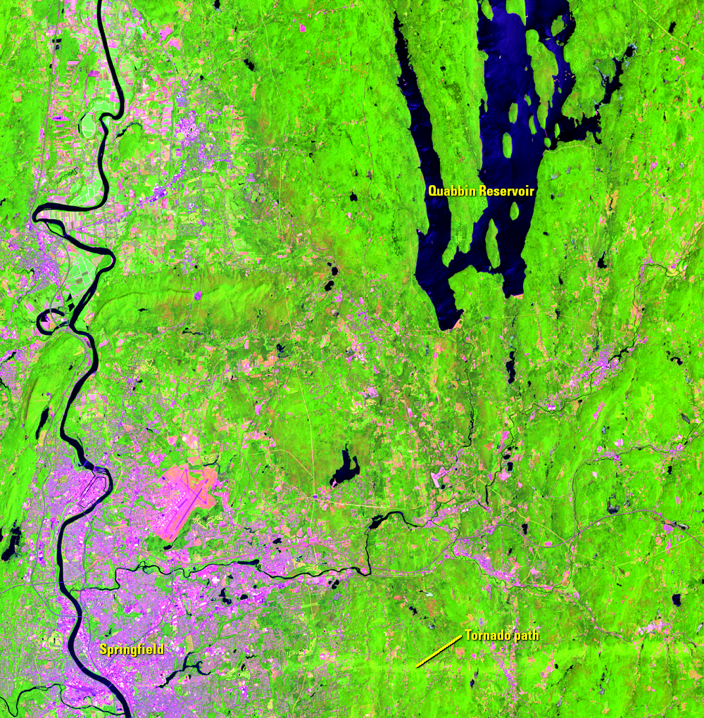
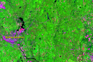
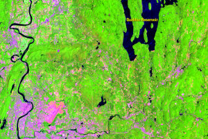
The overall severity of gypsy moth defoliation was less in 2018, but the impacts on forest condition are still evident as both new defoliation and tree mortality. Between Springfield, Massachusetts, and the Quabbin Reservoir, changes in forest condition resulting from three years of above-average gypsy moth activity is revealed by Landsat imagery.
In fact, Landsat can detect both short-term and long-term forest disturbance of various causes. The gypsy moth outbreak is caused in part by an extreme weather event—drought. The pale horizontal line extending to the east from Springfield is the path of a tornado that touched down on June 1, 2011. Tornadoes are also an extreme weather event and unusual for this area.
The gypsy moth caterpillar has a larger effect on dominant species like oak, which can cause large-scale shifts in the very composition of the forest. With Landsat data and the resulting maps of infested areas, researchers can better understand the long-term impacts of outbreaks on the health of forests.
Imagery
Downloads
Related Content
Gypsy Moth Infestation, MA, CT, RI, USA
While certainly too small to see from space, the gypsy moth caterpilla...
Damage
Gypsy moth caterpillars devour the leaves of hardwood trees, causing t...
Outbreak Causes
The current gypsy moth outbreak is thought to be the result of a serie...
How Landsat Helps
Landsat data can track the spread of the outbreak and monitor defoliat...
Springfield
The overall severity of gypsy moth defoliation was less in 2018, but t...