

Tulare Basin
Earth Resources Observation and Science (EROS) Center - Earthshots
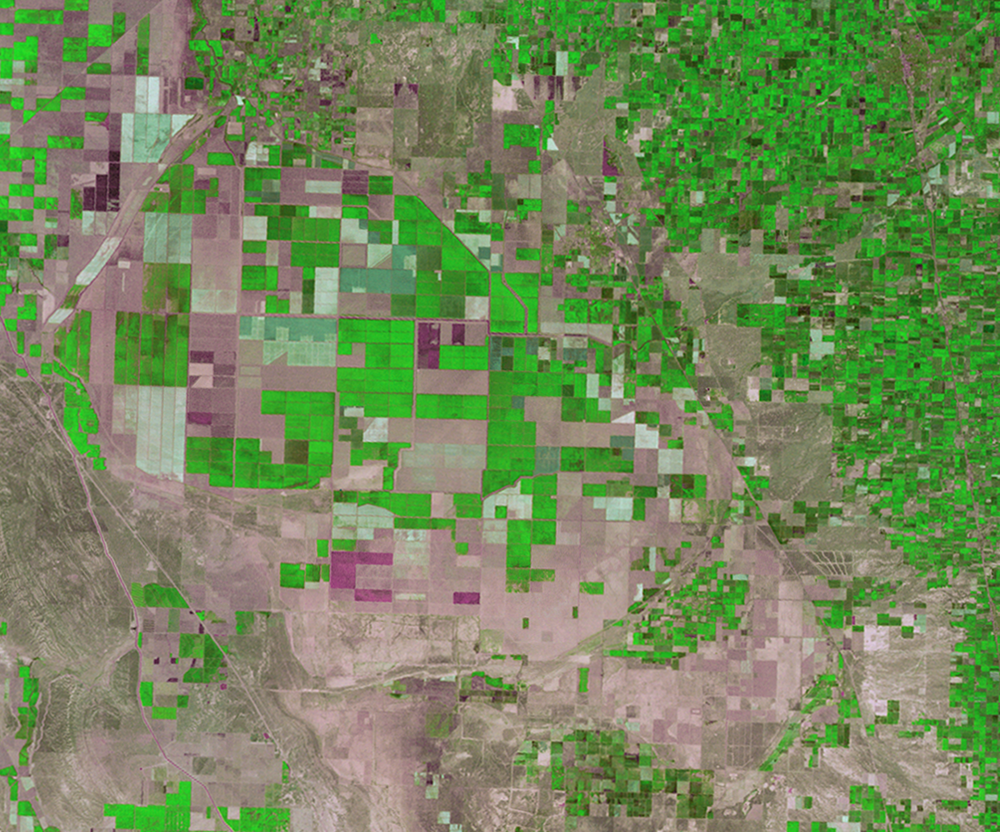
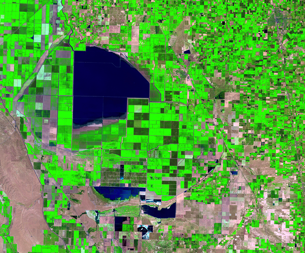
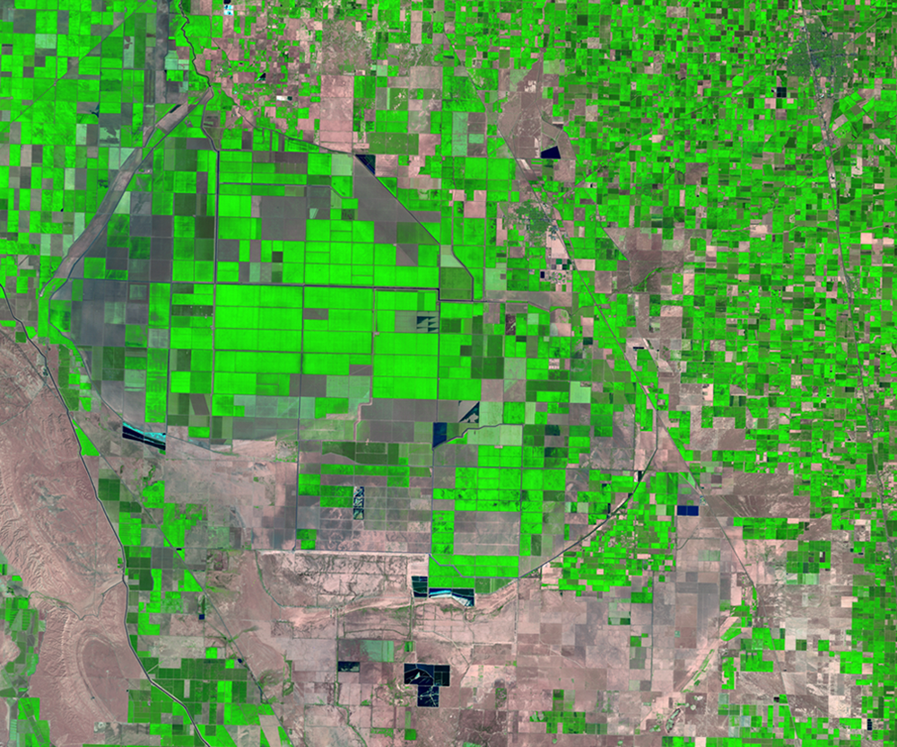
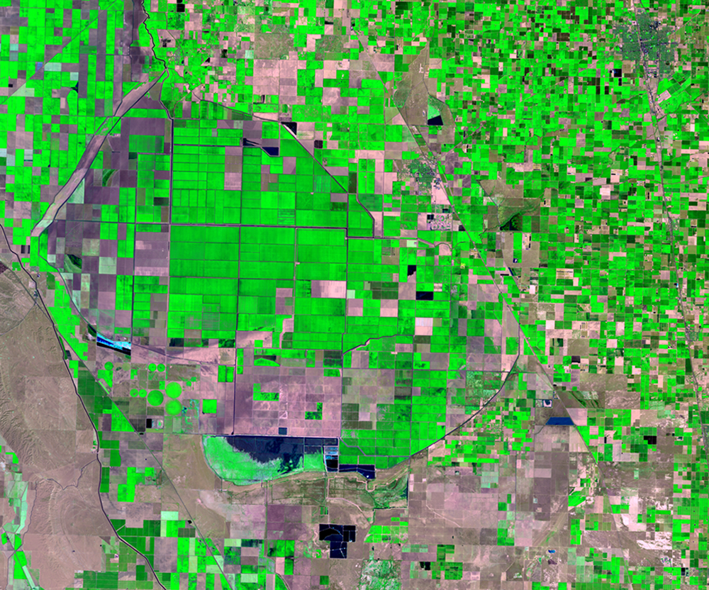
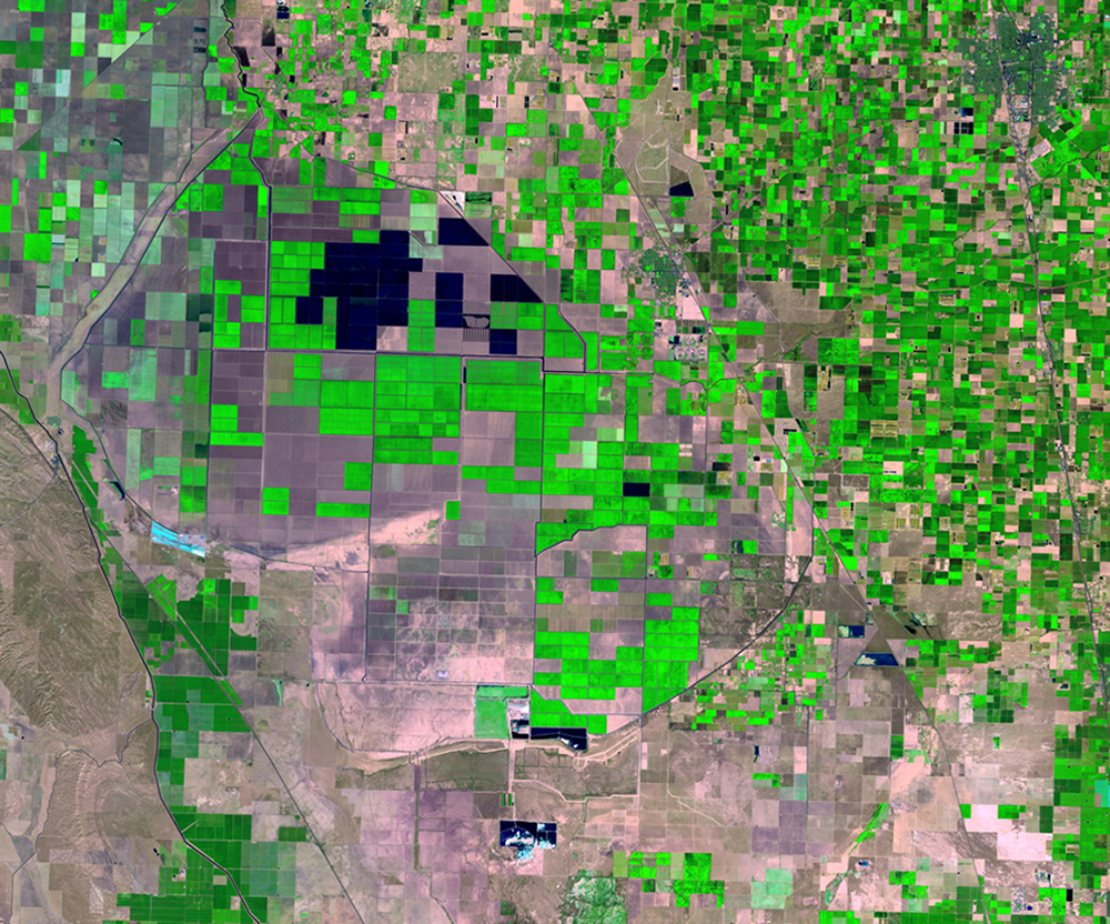
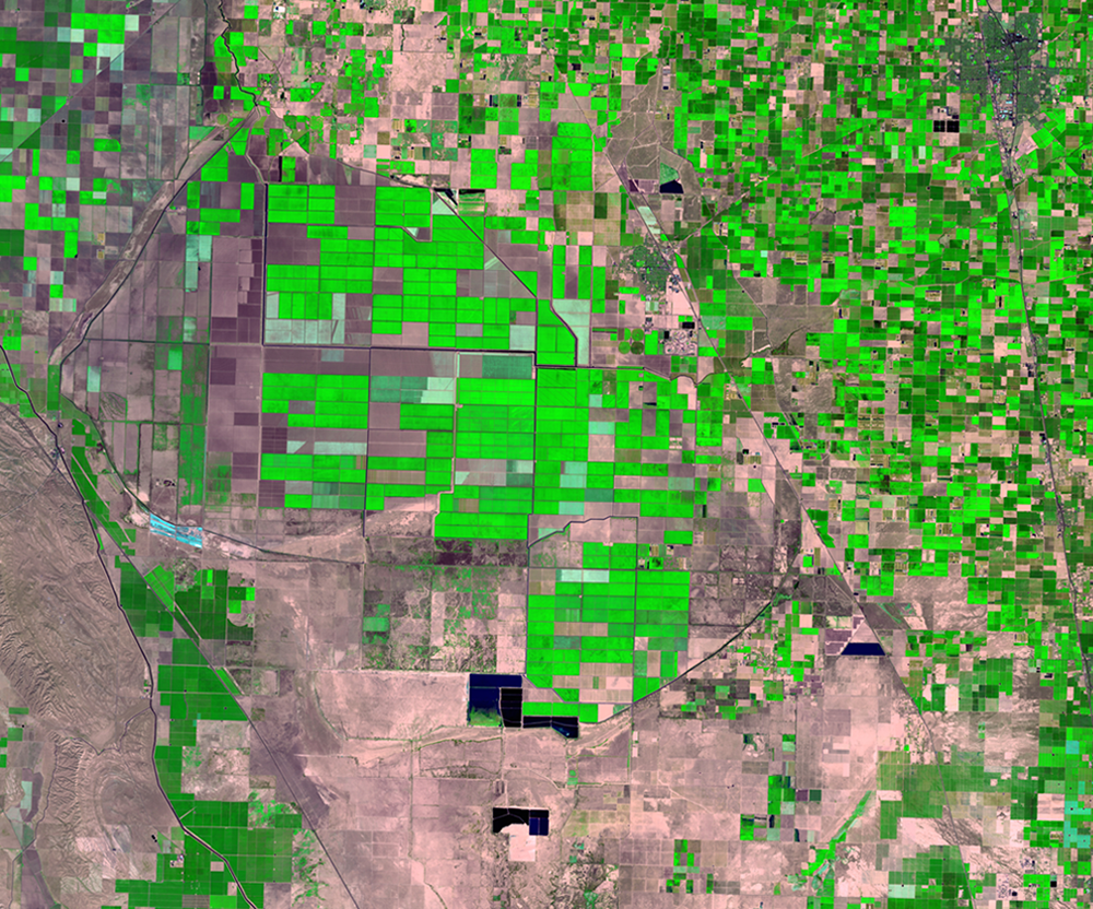
In the southern portion of the San Joaquin Valley is the Tulare Lake Basin, which covers a significant portion of the valley. Tulare Lake was once the largest freshwater lake west of the Mississippi River. The lake used to appear naturally every winter as rainfall and snowmelt from the nearby Sierra Nevada Mountains flowed down and filled the basin.
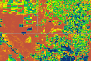
By the 1920s, the basin was drained and today remains largely dry. Rivers that once flowed into the basin are diverted to agriculture. Agricultural drainage is sometimes stored in several evaporation ponds. These ponds are visible as the dark shapes in many of the Landsat images.
Some fields are flooded after harvest to remove salts accumulated during irrigation, control crop disease, and provide soil moisture for the next planting. For these purposes, water sits in the field for a week or less and is then drained. In some cases, a locally common fungal cotton pest needs to be controlled and a deeper and longer duration flood treatment is used. Water sits for over a week or many weeks and is then pumped out or drained by cutting through a levee. These flooded fields provide valuable habitat for waterfowl.
Imagery
Downloads
Related Content
San Joaquin Valley, California, USA
Changes in land use, climate, and population demographics are placing ...
Tulare Basin
In the southern portion of the San Joaquin Valley is the Tulare Lake B...
ET Maps
With these water use maps, land managers and farmers can tell which cr...