

Cropland
Earth Resources Observation and Science (EROS) Center - Earthshots
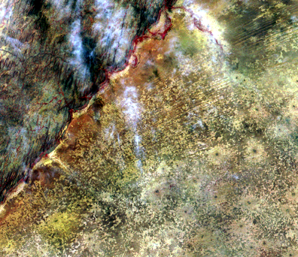
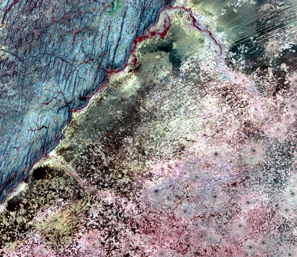
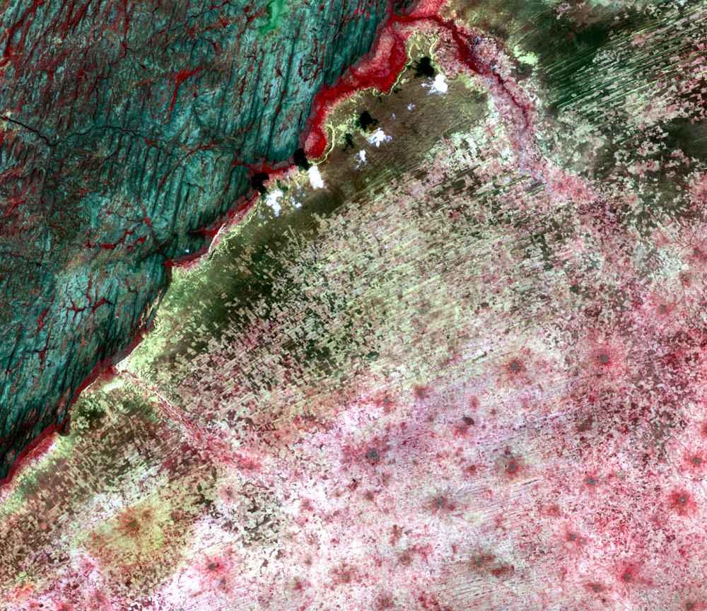
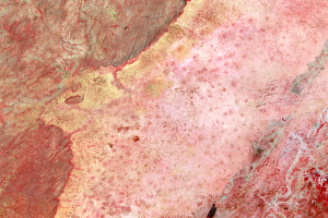
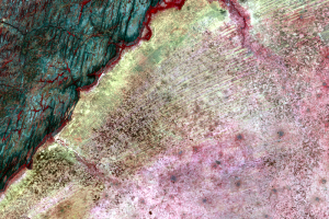
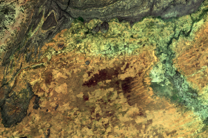
These close-up images from Landsat show the Seno Plain in a bit more detail. The images were acquired during the dry season, so crops were not growing at the time. However, the images do show evidence of how intensely the land was being used for agriculture, indicated by the lighter toned patterns. As in the wider views, the Bandiagara escarpment is the feature on the left of these images.
The 1972 image shows that farmers practiced crop rotation, leaving some land fallow. The fallow fields are represented by dark patches. In 1986, however, much of the fallow is gone, and there is even less of it by 2016. Bright areas dominate the 2016 image, indicating wall-to-wall cropland over the plain. The darkest patches are grassy fallow areas and are either protected lands or used for cattle grazing.
Imagery
Downloads
Related Content
Seno Plain, Mali
On the Seno Plain of Mali, the population has more than doubled since ...
Cropland
These close-up images from Landsat show the Seno Plain in a bit more d...
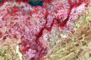
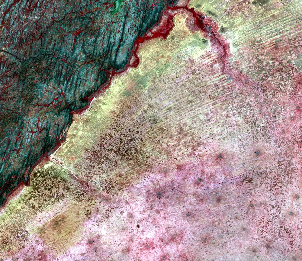
WorldView-2 Detail
On the edge of the Seno Plain, up against the Bandiagara escarpment, a...
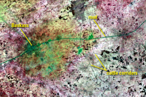
Cattle Corridors
Some of the dark lines in the images might look like roads. Those line...
Corona and WV-2
To get an even more detailed view of this region, we can actually go b...