

Land Change
Earth Resources Observation and Science (EROS) Center - Earthshots
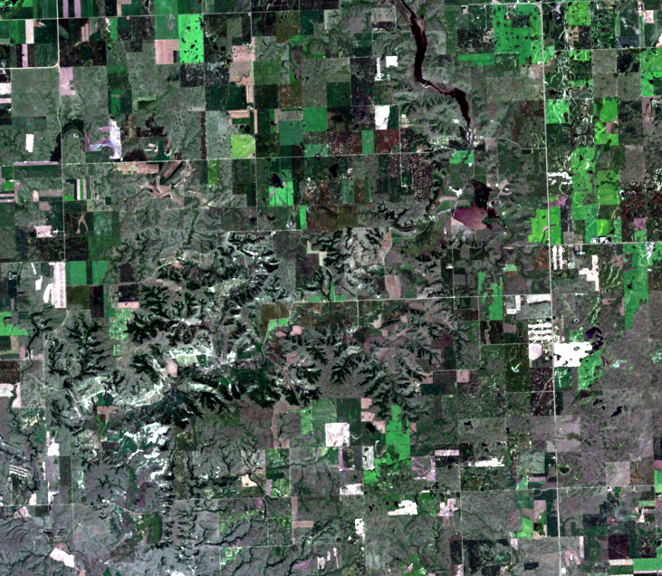
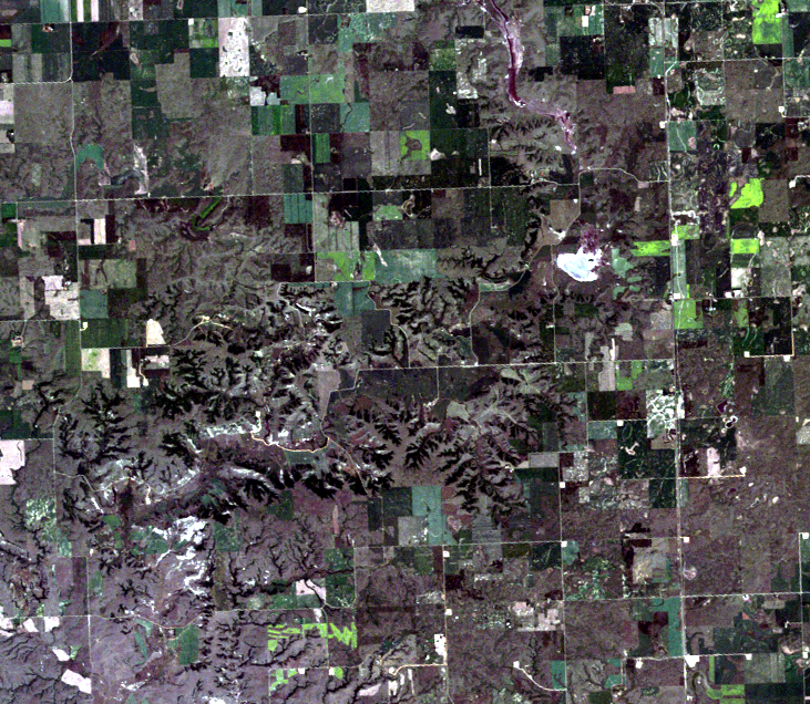
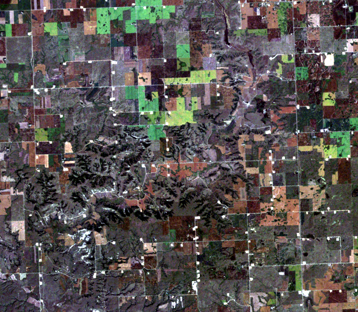
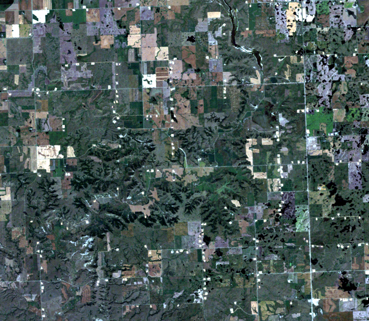
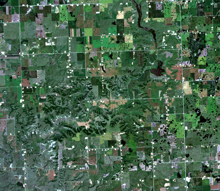
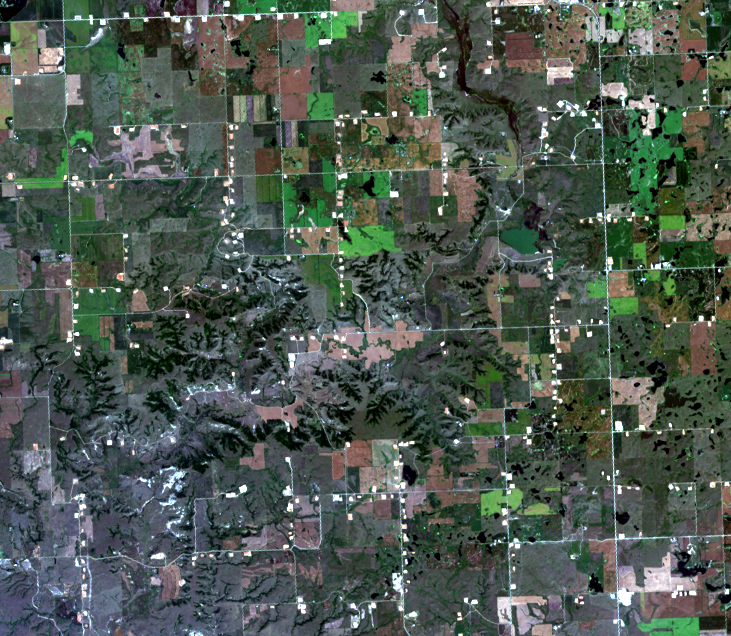
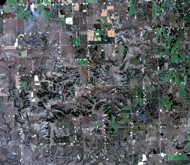
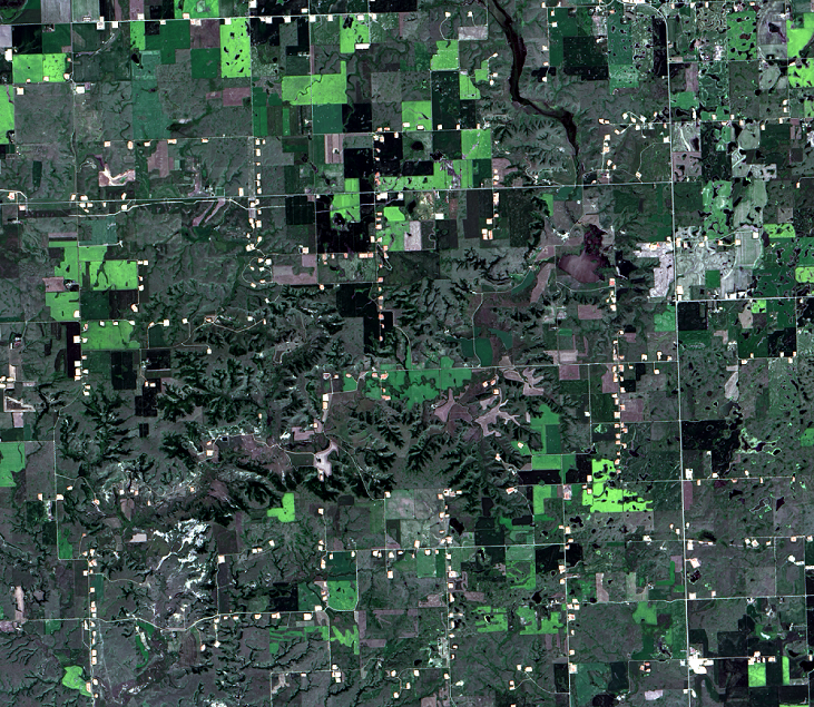
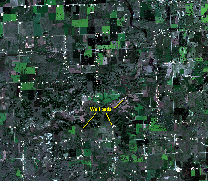
Thousands of well pads are scattered across northwestern North Dakota. This series of images shows an example of a location with several of them. These rectangular shaped areas of land cover 4–7 acres each. The small bright shapes in the images are much smaller than agricultural fields. Cropland is larger blocks of land in varying shades of green or tan.
The parcel of land dedicated to oil pumping is cleared for setting up drilling equipment. Once drilling is completed at a location, it can then pump oil. Each pad seen in the images is a well pad with either drilling or pumping in progress.
In the entire Williston Basin, 12,990 hectares of land have been converted to well pads. The previous land cover of this area was almost entirely agriculture and prairie.
Imagery

Downloads
Related Content
Bakken Oil Boom, North Dakota, USA
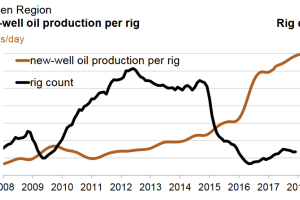
Even though oil is underground, Landsat images can reveal related land...
Land Change
Thousands of well pads are scattered across northwestern North Dakota....
Pad Drilling
A new drilling technique called pad drilling reduces the overall footp...
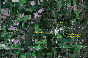
Tioga
Tioga is a small town in northwestern North Dakota that has also seen ...
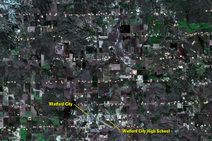
Watford City
Another growing community is Watford City, which built a new high scho...
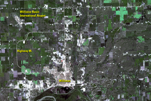
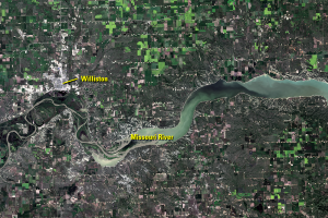
Williston
Located on the north side of a bend in the Missouri River, Williston i...