

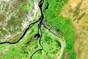
Mopti
Earth Resources Observation and Science (EROS) Center - Earthshots
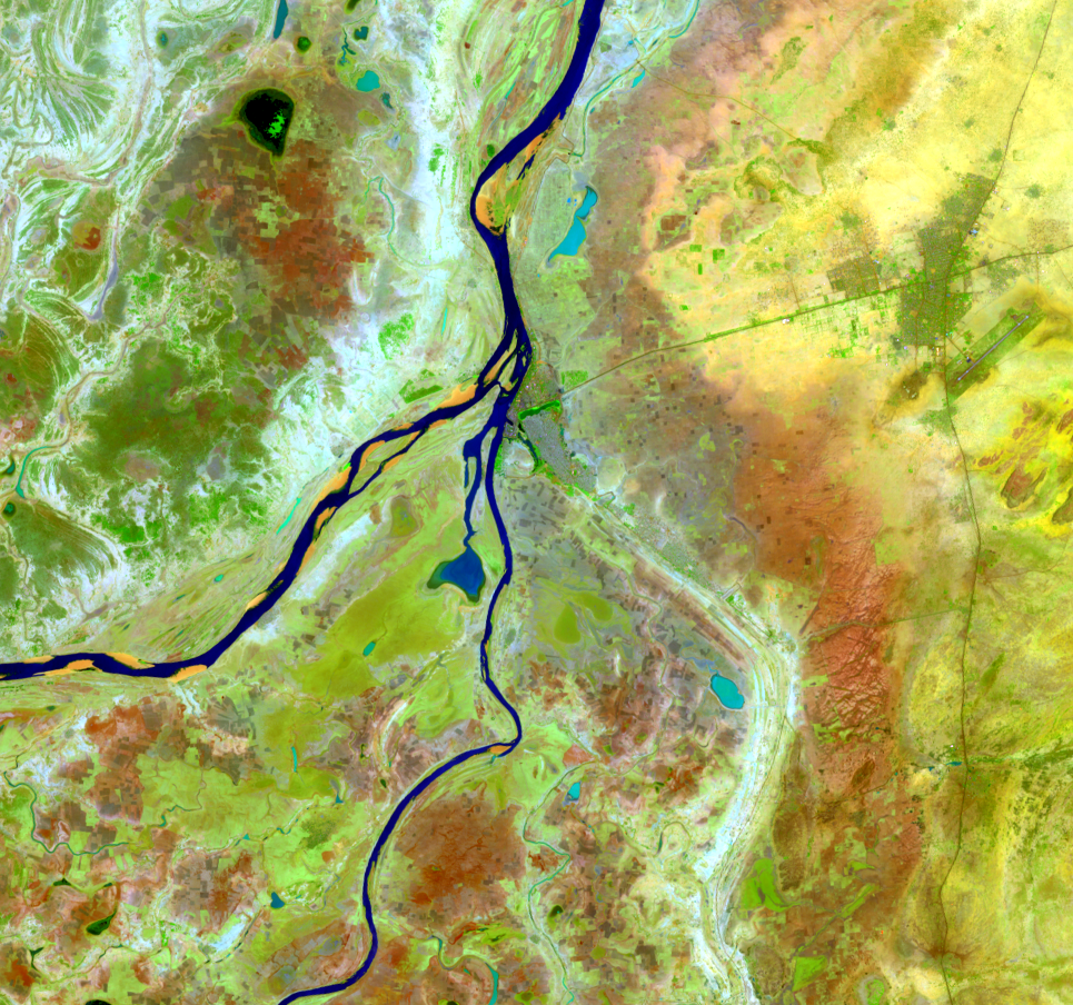
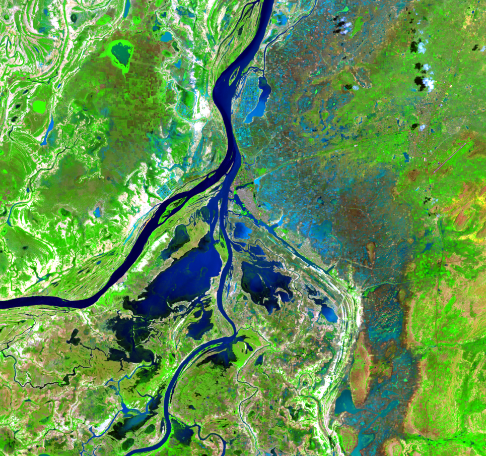
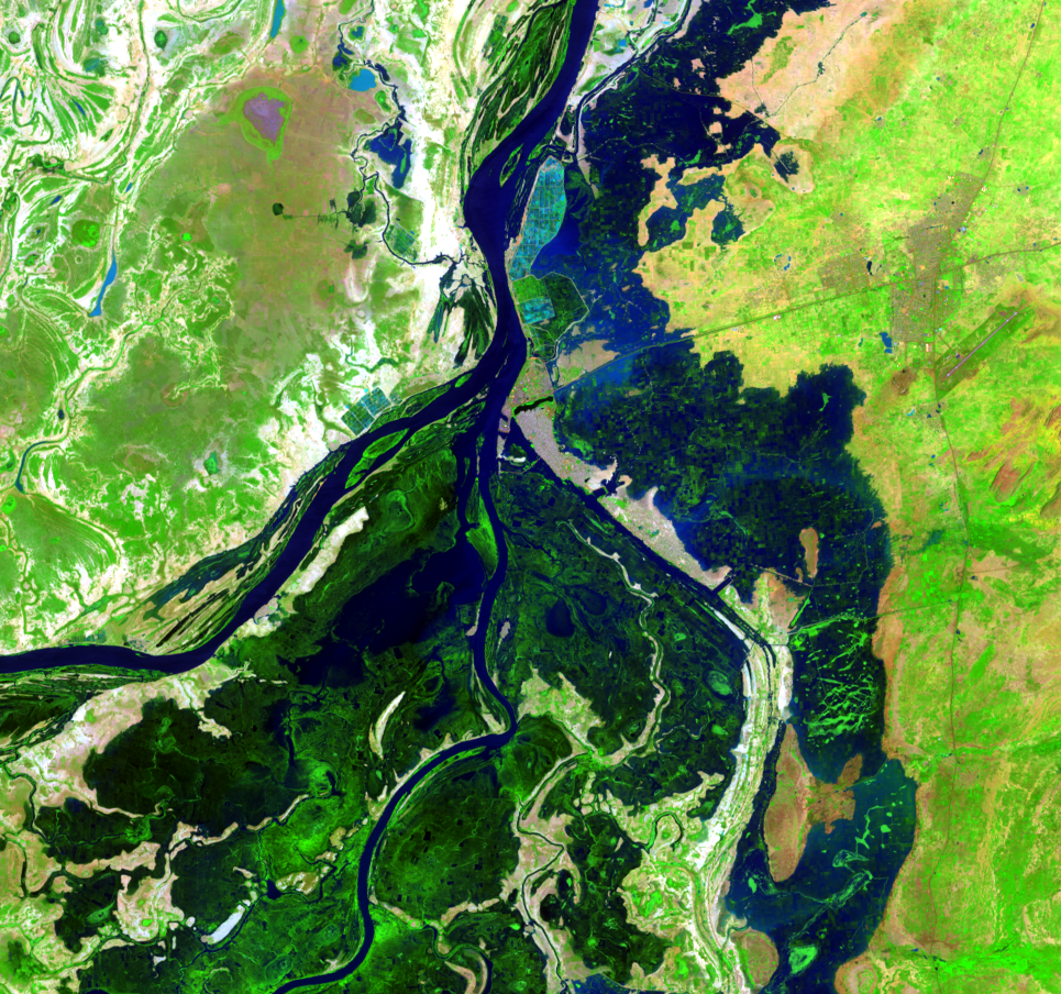
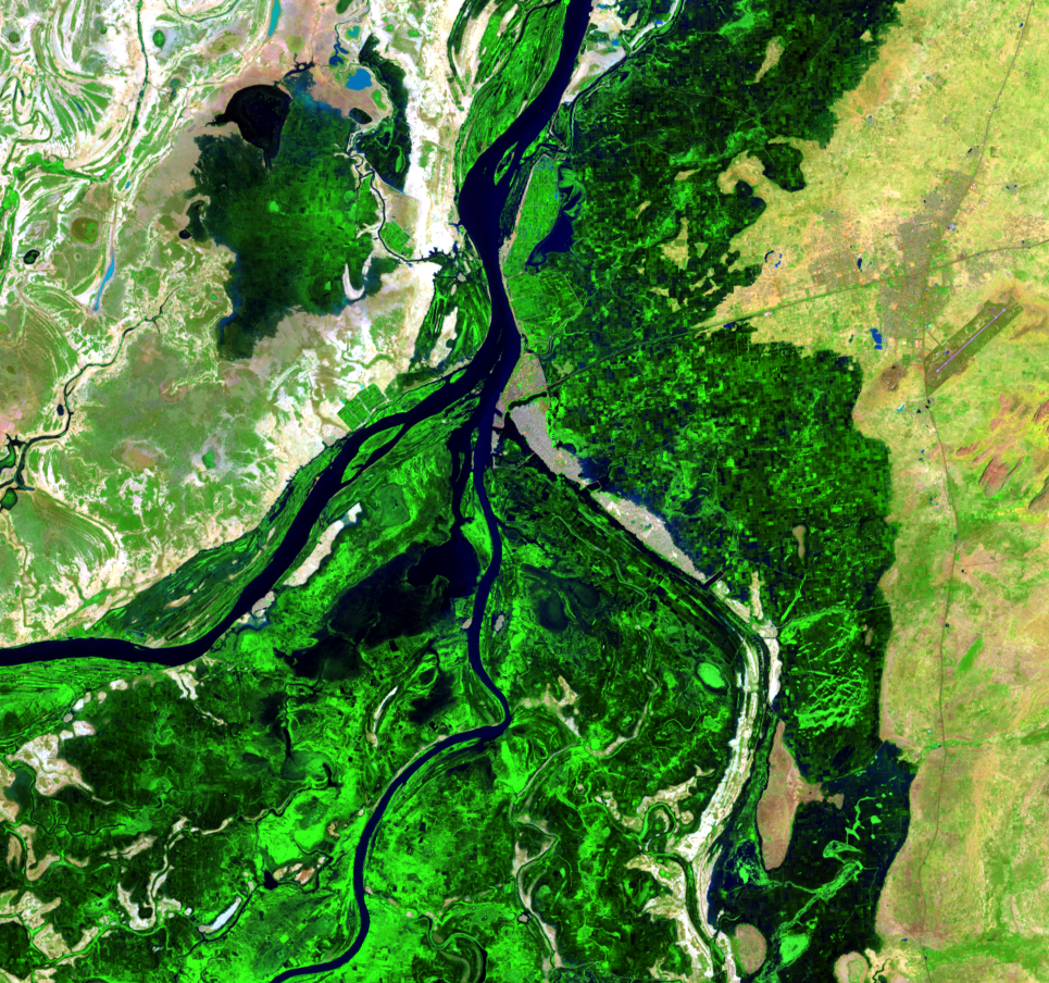
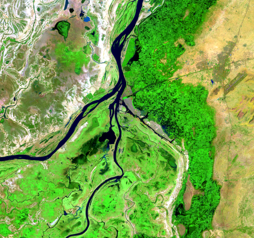
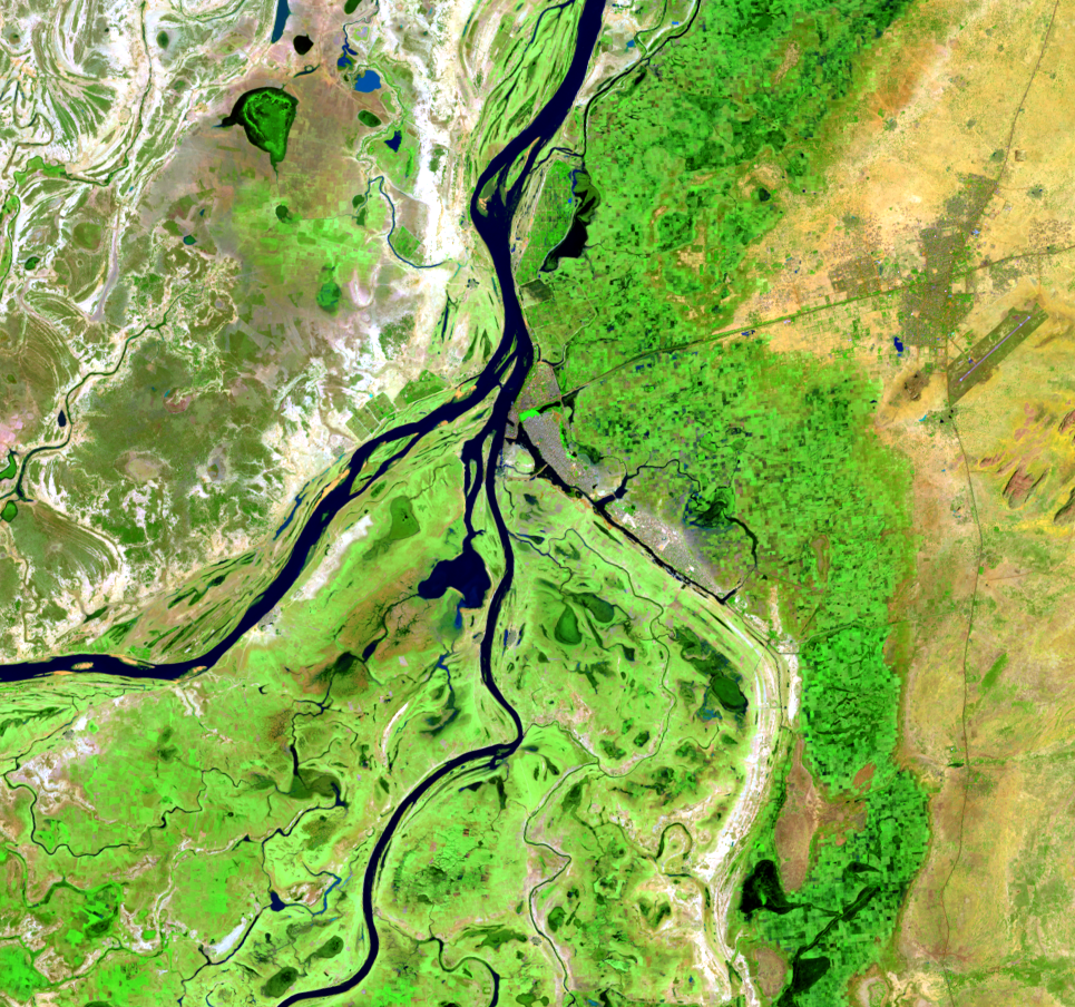
The busy port city Mopti is located at the confluence of the Niger and Bani Rivers. It is a crossroads of trade between the north and south.
Farming in this region relies on rainfed cereal crops. This makes farmers vulnerable to weather-related risks. They experience only one good harvest out of every three rainy seasons. To help residents plan for high or low water flood seasons, scientists are working on a greater understanding of the hydrology of the delta.
The Niger and Bani Rivers determine the flood extent each year. The water level in Akka, toward the northern part of the delta, can be reliably predicted from the combined flow of these rivers.
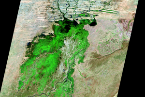
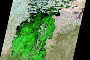
Flood forecasts will become increasingly important as the population grows and as pressure on water resources increases. Water level measurements and satellite images help predict the onset of seasonal floods and help achieve food security. An early warning system will help predict drought and monitor food security. Data from both on the ground and satellites help manage water resources.
Imagery
Downloads
Related Content
Inland Delta of the Niger River, Mali
On the edge of the Sahara Desert lies one of the world’s most producti...
Annual Change
In the flooded season, this part of Mali’s landscape stands out as bri...
Mopti
The busy port city Mopti is located at the confluence of the Niger and...
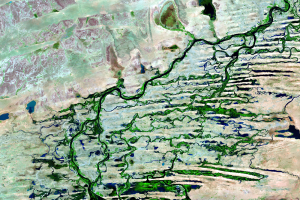
Northern Delta
In the northern portion of the delta, channels fill in between sand du...
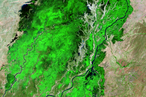
Seasonal Flooding
During the flood season, the delta can grow to 20,000 square kilometer...
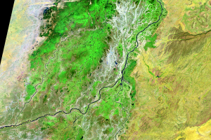
Southern Delta
The Inland Niger Delta lies in the transition between a seasonally wet...