

WorldView-2 Detail
Earth Resources Observation and Science (EROS) Center - Earthshots
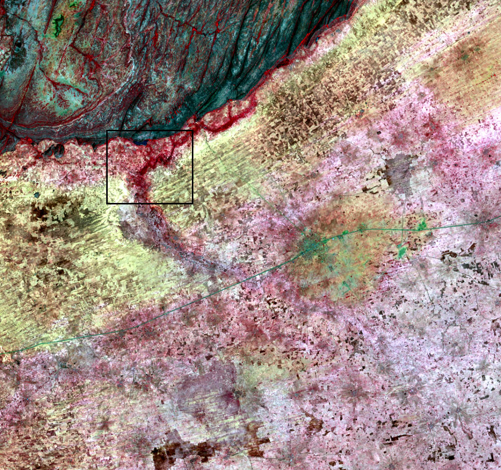
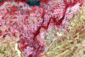
On the edge of the Seno Plain, up against the Bandiagara escarpment, a brighter red appears in a few areas. This is denser tree cover and vegetation near a seasonal watercourse. But it’s not all tree cover.
There is farmland under those trees in a farming strategy called recessive farming, that is, farming when flood waters recede after the rainy season. So the red seen in the Landsat imagery is not only from the trees but also from crops. The trees are darker red tones, and crops are light red.
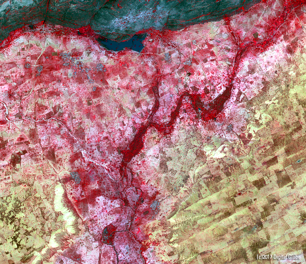
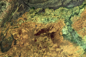
An image from the WorldView-2 satellite shows much more detail, 1.8-meter resolution. Plots of farm fields occupy most of this close-up image. Individual trees are the bright red spots. Villages are the bluish-gray patches.
While WorldView-2 does not offer the frequent repeat coverage of Landsat, it does help show enough detail to see whether tree coverage is changing over time. Click this image to see an enlarged view.
Imagery
Downloads
Related Content
Seno Plain, Mali
On the Seno Plain of Mali, the population has more than doubled since ...
Cropland
These close-up images from Landsat show the Seno Plain in a bit more d...
WorldView-2 Detail
On the edge of the Seno Plain, up against the Bandiagara escarpment, a...
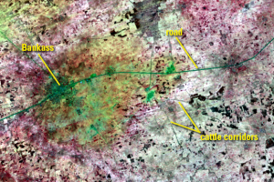
Cattle Corridors
Some of the dark lines in the images might look like roads. Those line...
Corona and WV-2
To get an even more detailed view of this region, we can actually go b...