

2010 Ice Break
Earth Resources Observation and Science (EROS) Center - Earthshots
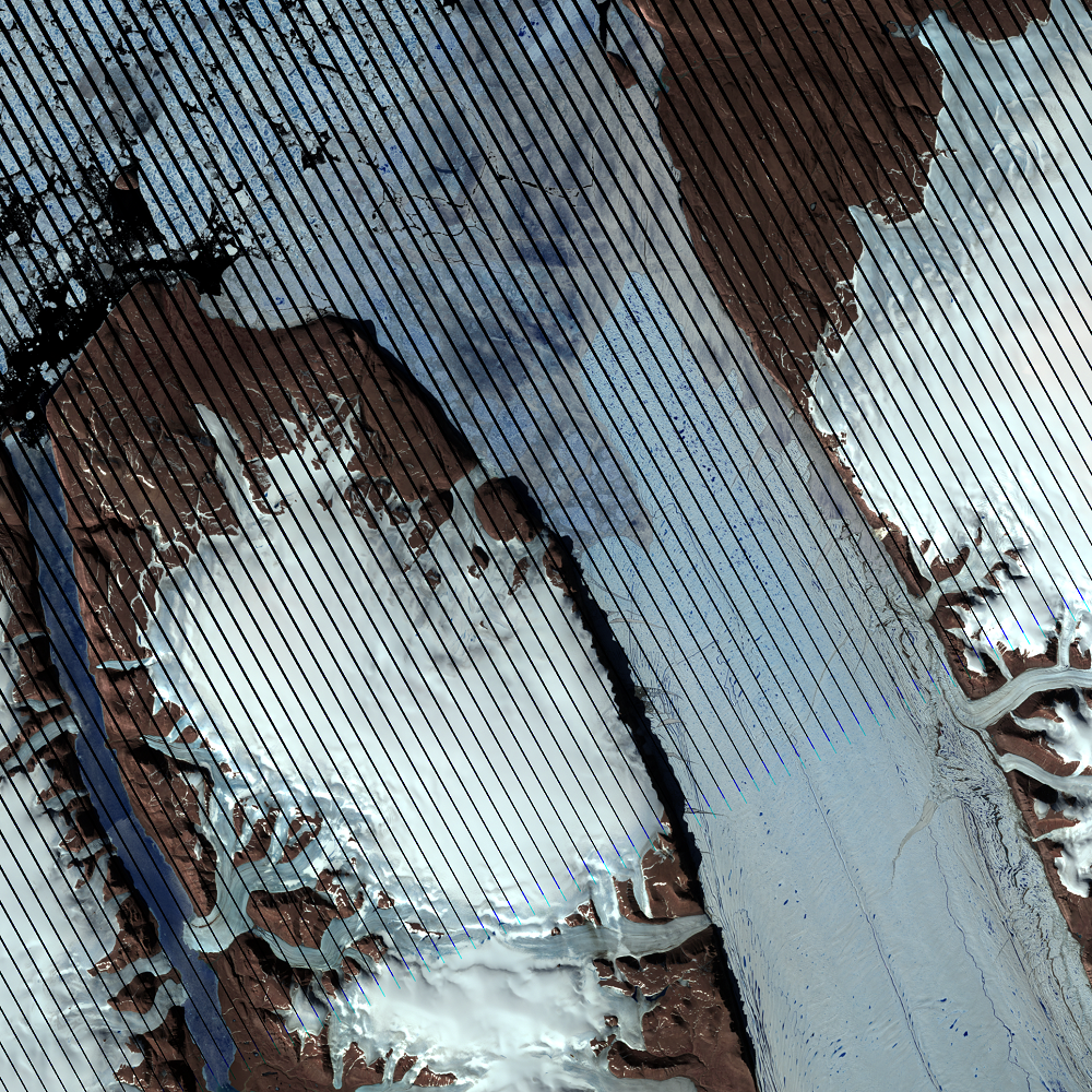
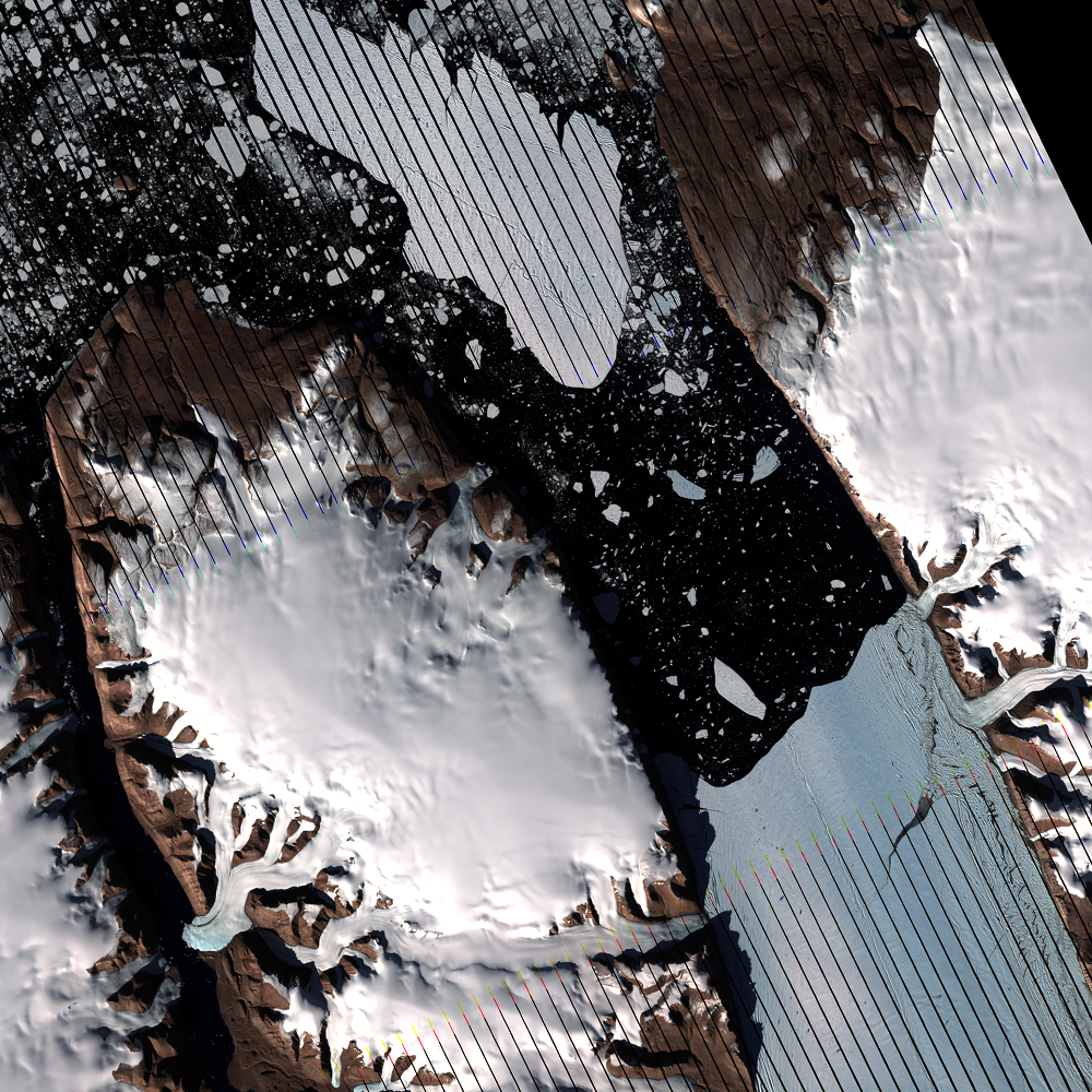
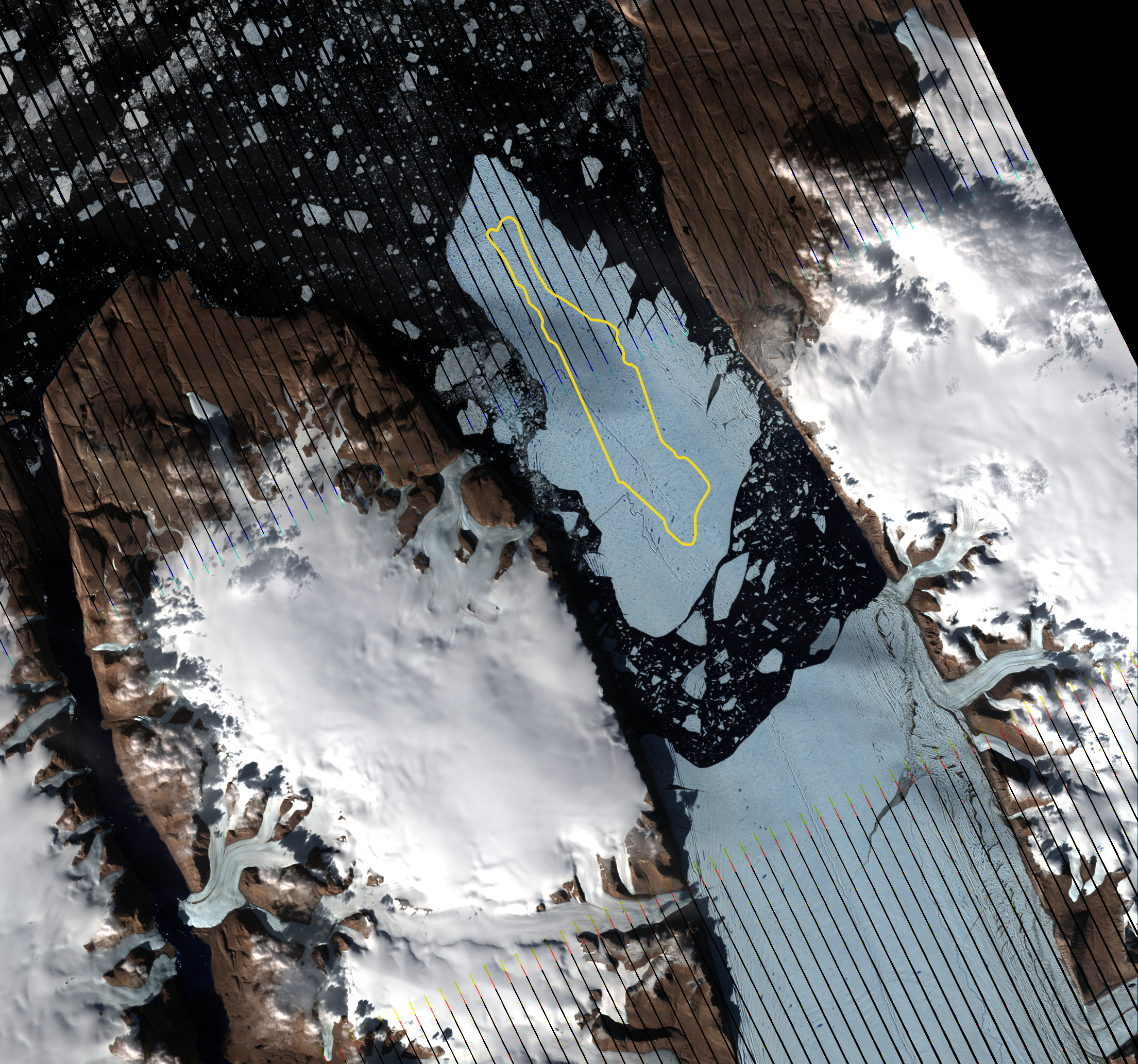
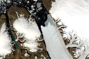
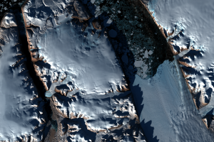
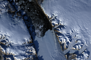
Scientists observed rifts in Petermann Glacier throughout the first decade of the 2000s. The rift that caused the 2010 break was first spotted in satellite imagery in 2001. See below for the location of this rift in a 2001 Landsat image.
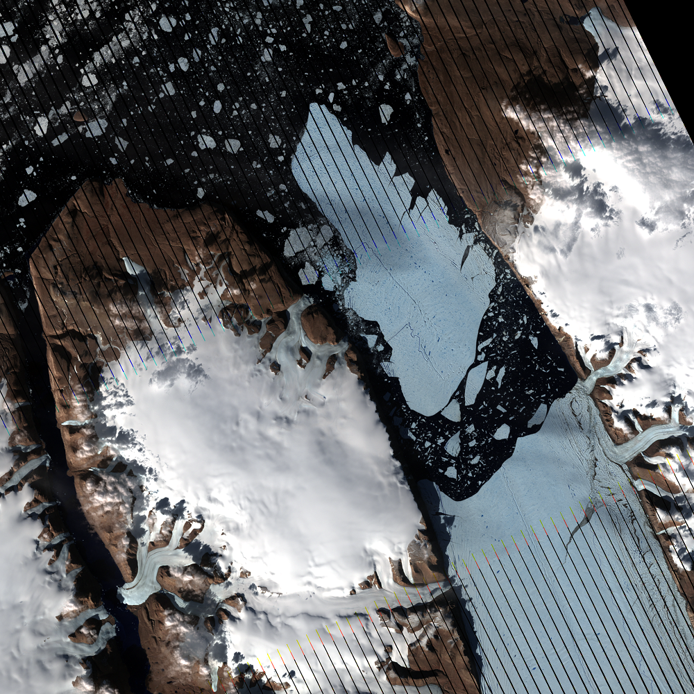
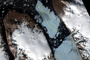
The massive calving event in 2010 removed 28 kilometers of the ice shelf. The result was an ice island four times the size of Manhattan, about 270 square kilometers. It was the largest iceberg to form in the Arctic since 1962.
The last image displayed in this section shows a size comparison of Manhattan Island (yellow outline) to the iceberg.
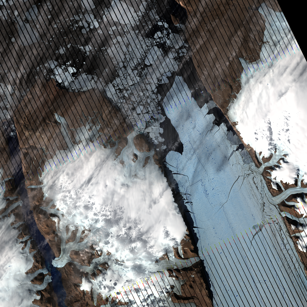
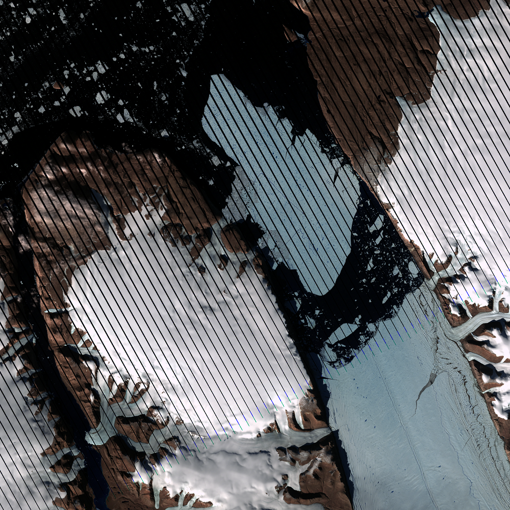
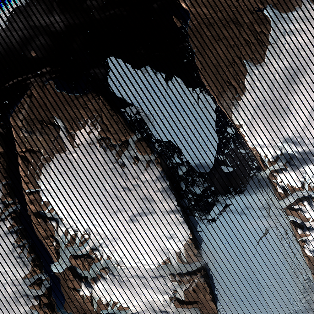
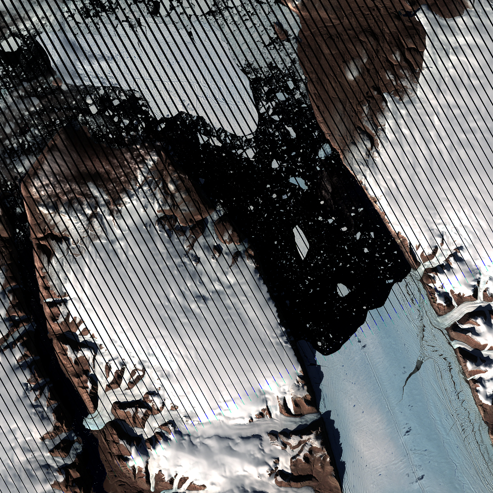
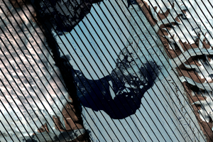
(Black stripes run through the images because of the Scan Line Corrector failure on Landsat 7 in May 2003.)
 — rift that began the calving events, Petermann Glacier, Greenland")
 — area showing rift that began the calving events, Petermann Glacier, Greenland")
Imagery
Downloads
Related Content
Petermann Glacier, Greenland
Petermann Glacier made headline news in 2010 and again in 2012 when la...
2010 Ice Break
Scientists observed rifts in Petermann Glacier throughout the first de...
2012 Break
Just two years later, another large iceberg broke off Petermann Glacie...
Seasonal Changes
Landsat 8 has a 16-day repeat cycle. That means it images the same spo...
The Long Dark Winter
Compare the two Landsat images from June 24, 2014, and September 19, 2...
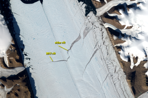
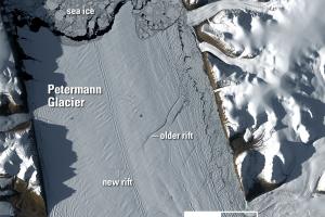
2017 Rift
A new rift formed on Petermann Glacier in 2017. An older crack to the ...
“Nighttime” Images
Landsat 8 normally images all Earth landmasses every 16 days. However,...