Seasonal Changes
Earth Resources Observation and Science (EROS) Center - Earthshots
Landsat 8 has a 16-day repeat cycle. That means it images the same spot on the ground every 16 days. However, there is some overlap at the sides of the images, and that overlap increases at higher latitudes.
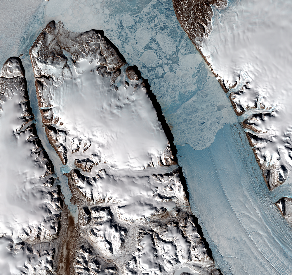
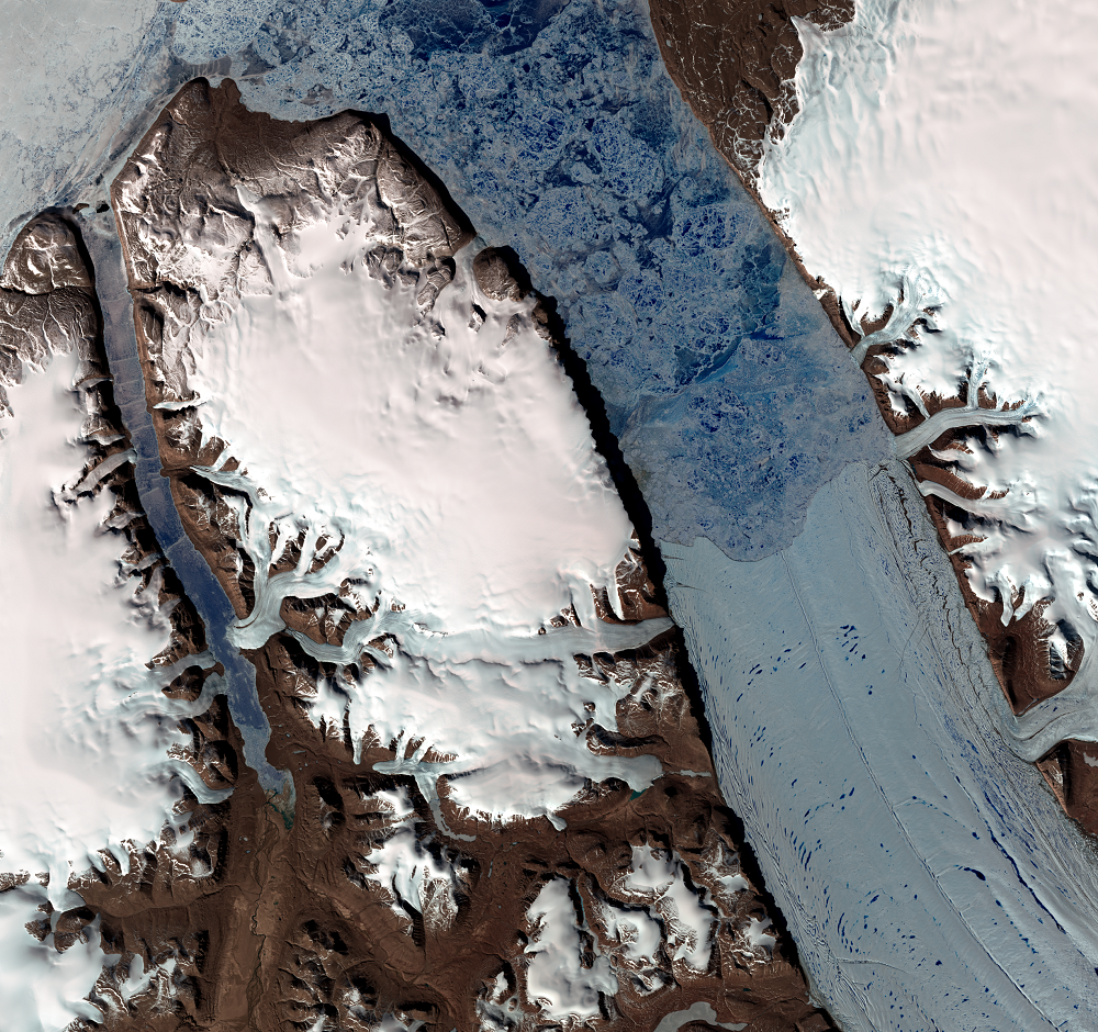
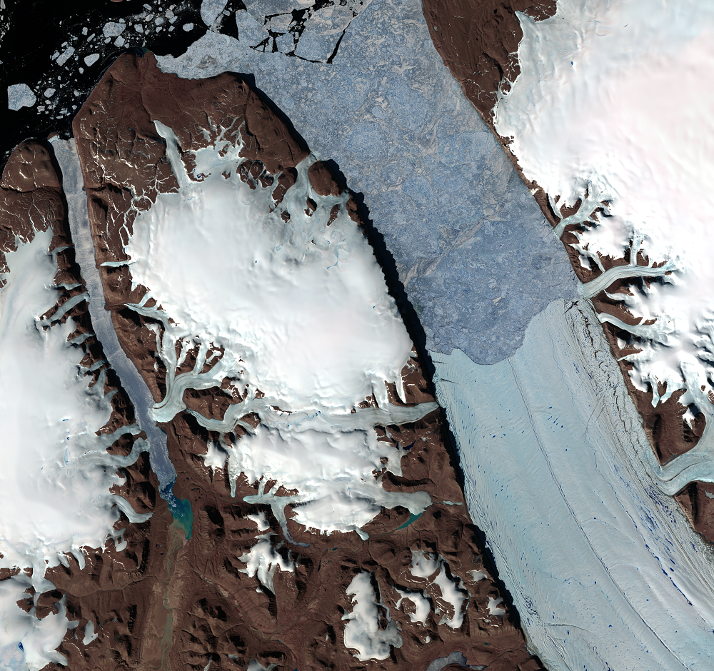
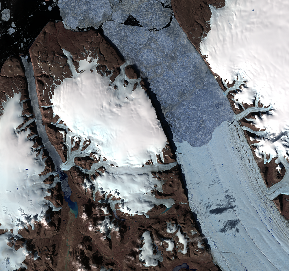
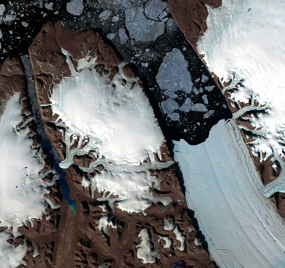
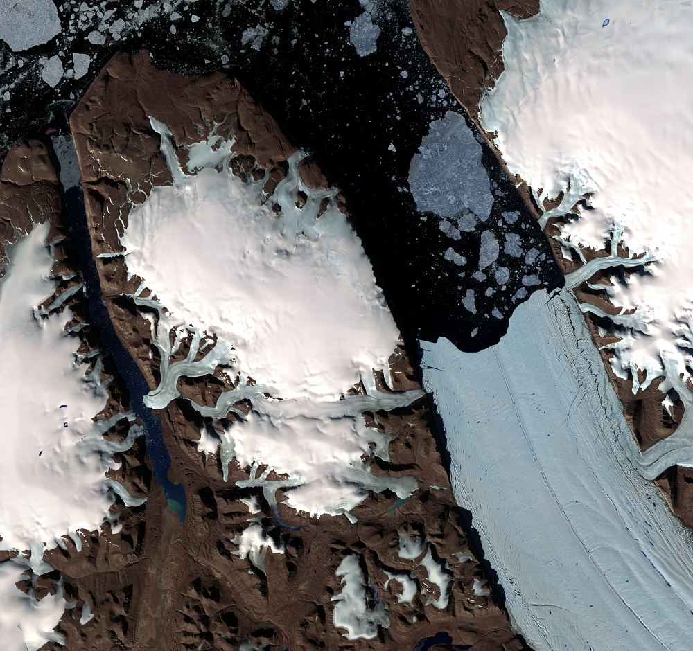
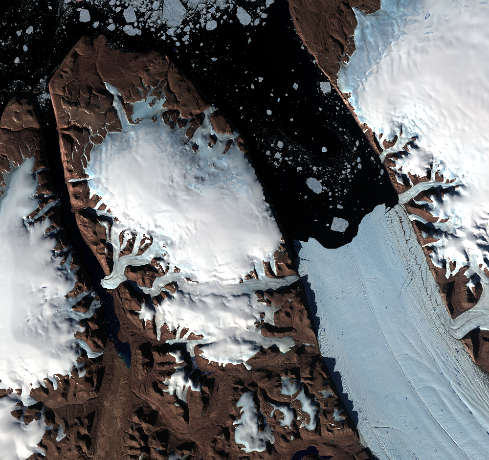
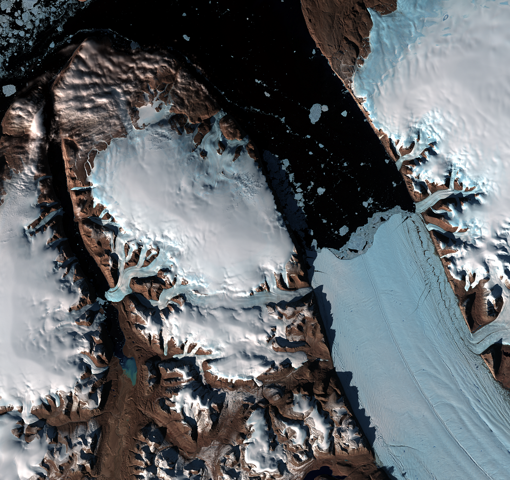
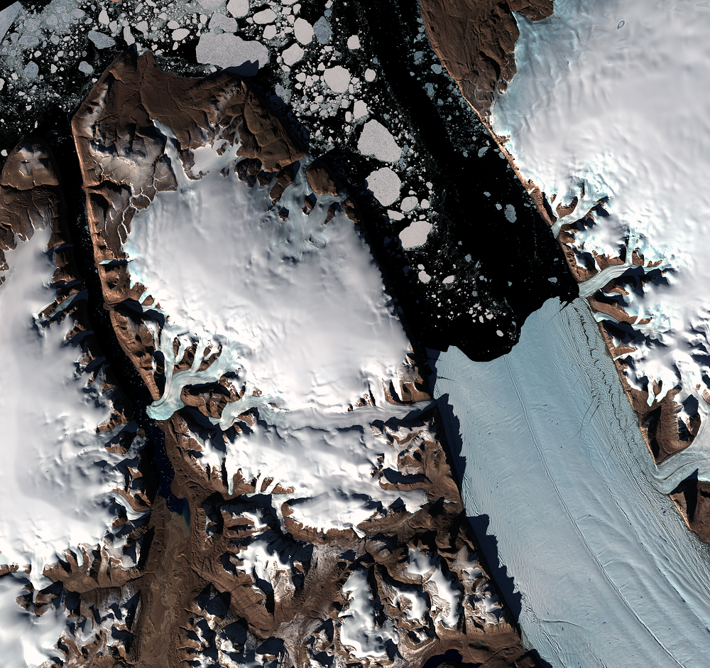
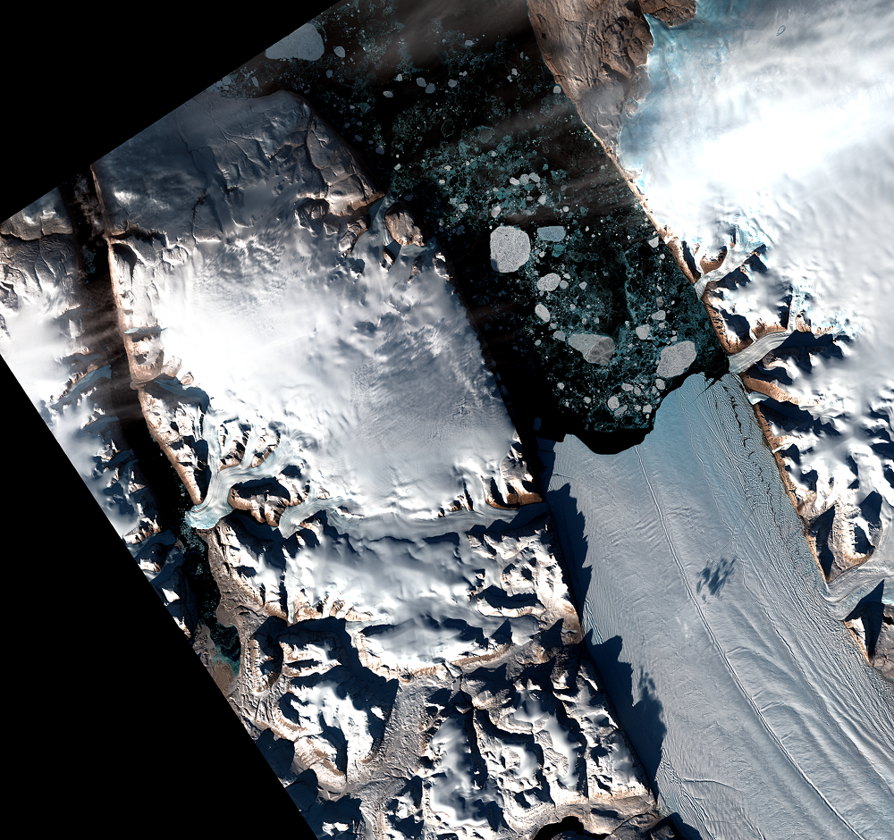
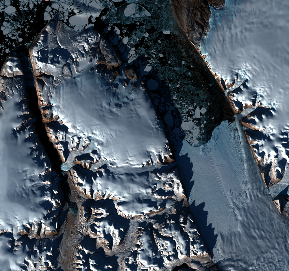
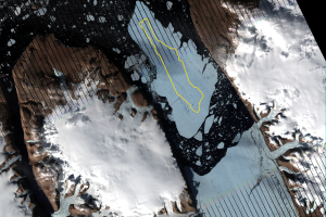
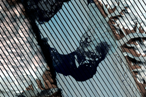
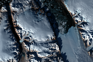
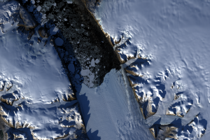
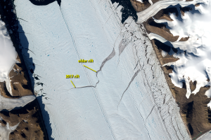
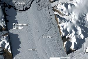
Here in northern Greenland, at about 81 degrees north latitude, the repeat cycle of Landsat 8 is in reality much more frequent than every 16 days during spring, summer, and fall. Displayed in this section are several clear images available from Landsat 8 of Petermann Glacier from May 23 to September 19, 2014. As you can see by the acquisition dates, Landsat visits this spot more frequently than every 16 days. This was especially true in August and September, 2014, when there were more non-cloudy days.
Seasonal changes are noticeable in this image series. For example, the high cliffs on the west side of Petermann Glacier cast longer shadows in September than on June 24, close to the summer solstice.
The patterns in the ice also change throughout the year. The amount of ice in the water diminishes through September, and by the next May will be packed in again. On the ground, the amount of snow cover also decreases, but the ice fields remain. The snow cover does begin increasing again in the late September images indicating winter is returning. The later images are also darker as the sun approaches a lower angle in the sky as it gets closer to the autumnal equinox.

