

More Information
Earth Resources Observation and Science (EROS) Center - Earthshots
The surface of the Earth is always changing. Some changes like earthquakes, volcanoes, floods, and landslides happen quickly and other changes, such as most erosional processes, happen slowly over time. It’s often hard to see these changes from ground level. A much broader view is needed, and multiple views that provide a record of change over time are especially helpful. Earthshots shows you how satellite data are used to track these changes.
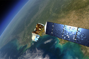
The Landsat series of Earth-observing satellites has acquired data for monitoring the planet’s landmasses since 1972. The vast archive containing millions of Landsat scenes is managed at the U.S. Geological Survey (USGS) Earth Resources Observation and Science (EROS) Center in Sioux Falls, SD. The images displayed in Earthshots are examples of Landsat data that help scientists worldwide understand more about how both people and nature are changing the landscape.
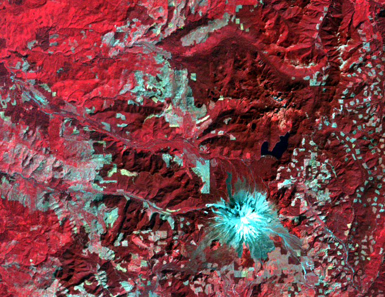
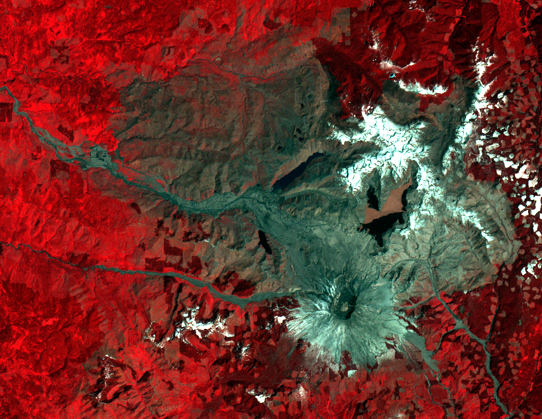
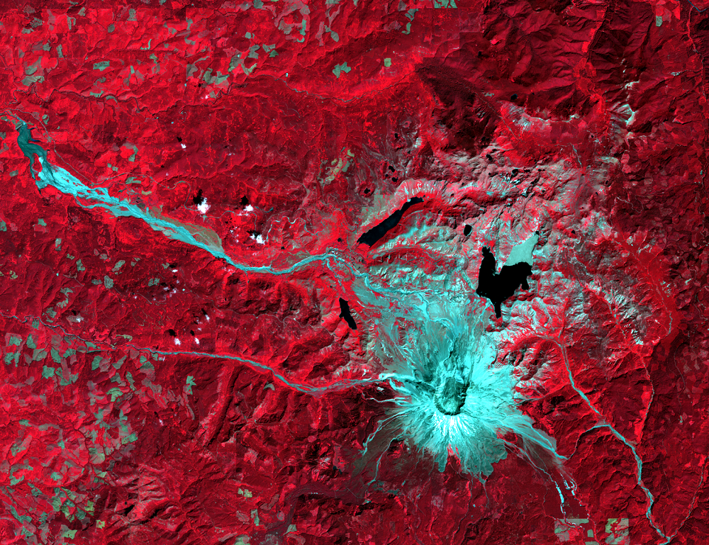
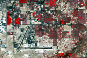
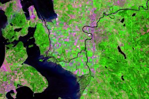
Each Earthshots page features a different location from around the world and explains the changes that the satellite images reveal. For example, the Mount St. Helens page shows what the mountain looked like before and after the 1980 eruption. Furthermore, it shows recent images that demonstrate how the forest is recovering. The images at the left are three of the Landsat images from that page.
Imagery
Downloads
Canada Centre for Remote Sensing, 2016, Tutorial—Fundamentals of Remote Sensing: Natural Resources Canada, accessed April 10, 2018, at http://www.nrcan.gc.ca/earth-sciences/geography-boundary/remote-sensing/fundamentals/1430.
NASA, 2010, Tour of the Electromagnetic Spectrum—Introduction to the Electromagnetic Spectrum: NASA Science, accessed April 10, 2018, at https://science.nasa.gov/ems/01_intro.
NASA, 2018, The Landsat Program: NASA, accessed April 10, 2018, at http://landsat.gsfc.nasa.gov/.
U.S. Geological Survey, 2021, Earth Resources Observation and Science Center—Keeping watch over Earth's resources: U.S. Geological Survey Fact Sheet 2021–3052, 4 p., https://doi.org/10.3133/fs20213052.
U.S. Geological Survey, 2022, National Land Imaging Program: USGS, accessed February 16, 2022, at https://www.usgs.gov/programs/national-land-imaging-program.
U.S. Geological Survey, 2019, Landsat 9 (ver. 1.2, April 2020): U.S. Geological Survey Fact Sheet 2019–3008, 2 p., https://doi.org/10.3133/fs20193008.
U.S. Geological Survey, 2016, Landsat—Earth observation satellites (ver. 1.1, August 2016): U.S. Geological Survey Fact Sheet 2015–3081, 4 p., http://dx.doi.org/10.3133/fs20153081.
U.S. Geological Survey, 2016, Landsat International Cooperators and Global Archive Consolidation (ver. 1.2, June 2019): U.S. Geological Survey Fact Sheet 2016–3018, 2 p., https://doi.org/10.3133/fs20163018.
U.S. Geological Survey, 2018, Landsat Missions: USGS, accessed April 10, 2018, at http://landsat.usgs.gov.
U.S. Geological Survey, 2022, Remote Sensing Classroom: USGS, accessed February 16, 2022, at https://eros.usgs.gov/remote-sensing-classroom.
Related Content
Contact Information
Customer Services U.S. Geological Survey Earth Resources Observation a...
Introduction to Remote Sensing
Remote sensing means observing something from a distance. Satelli...
The Landsat Program
Since 1972, the Landsat satellites have been imaging Earth’s land area...
What the Colors Mean
All of the colors in a satellite image, similar to images on a TV or c...