

Development Patterns
Earth Resources Observation and Science (EROS) Center - Earthshots
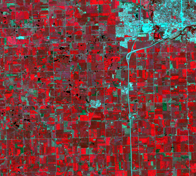
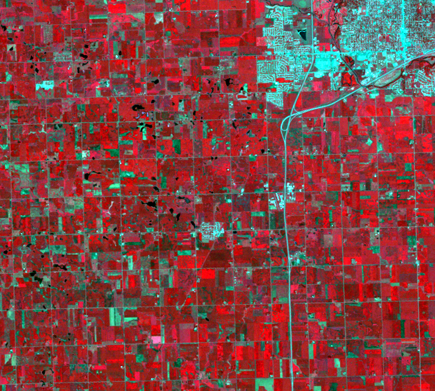
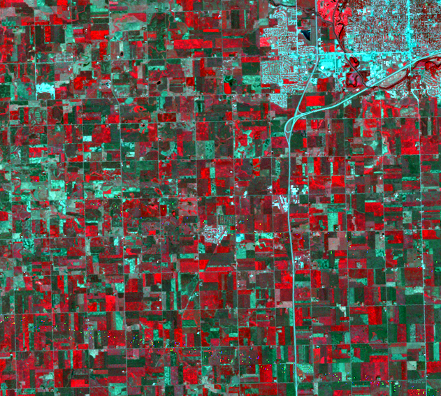
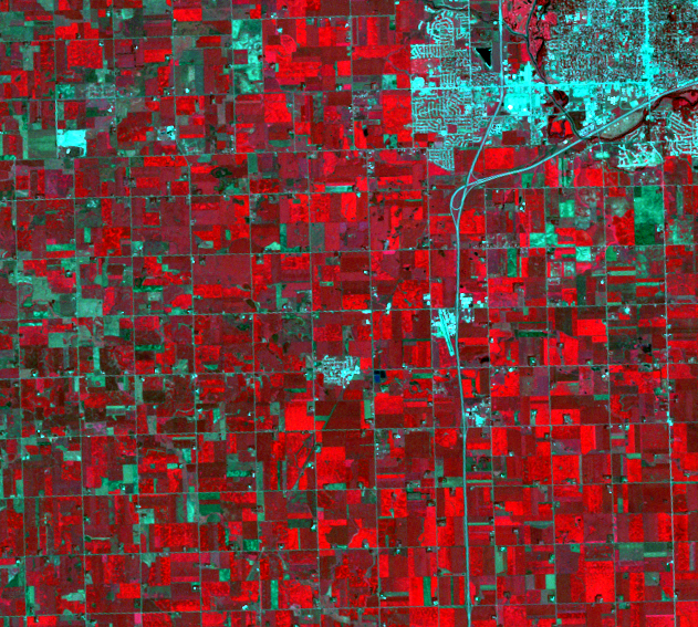
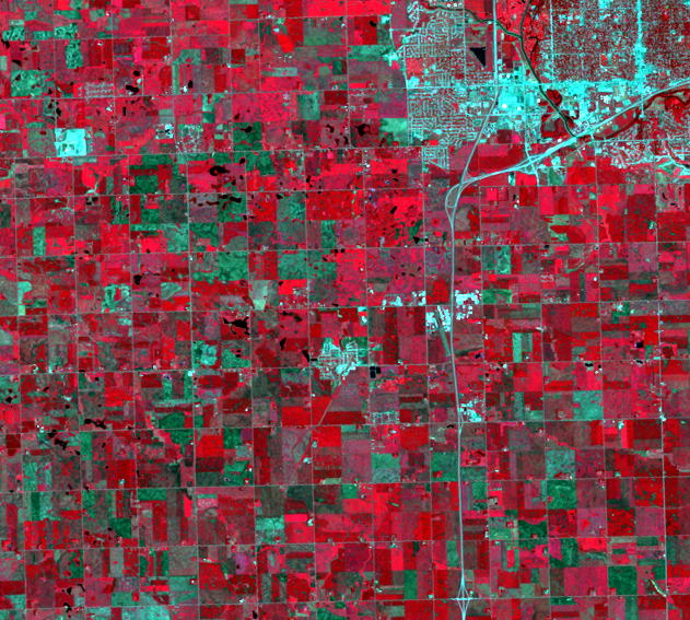
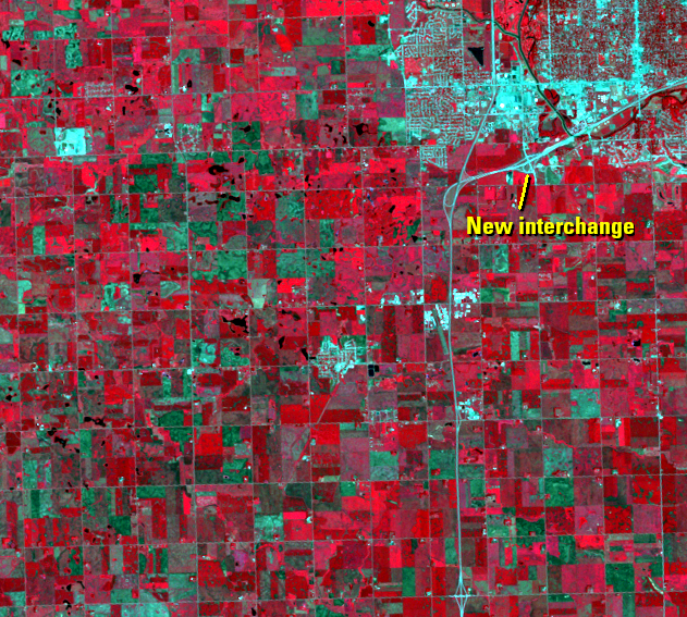
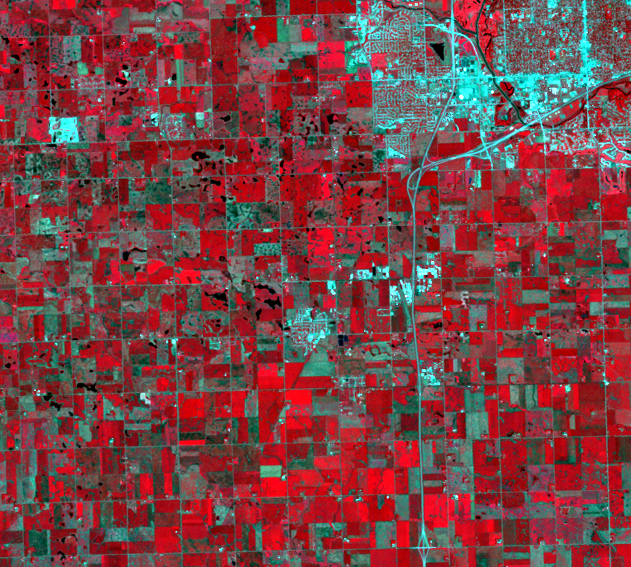
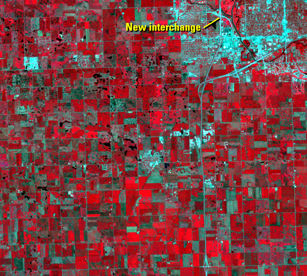
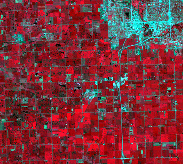
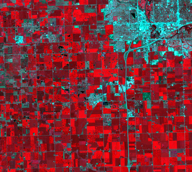
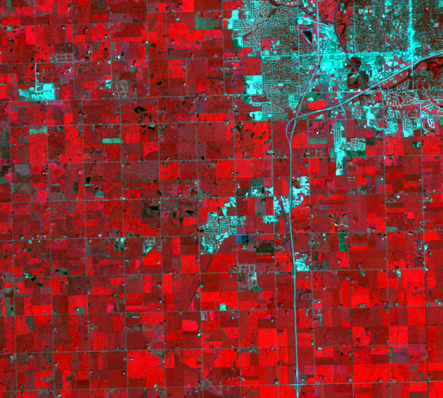
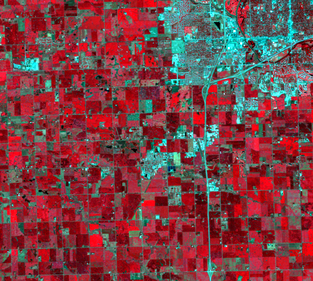
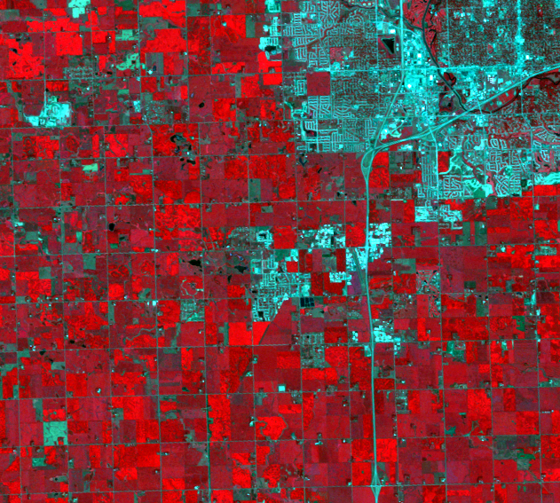
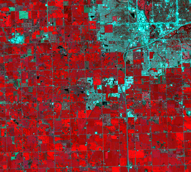
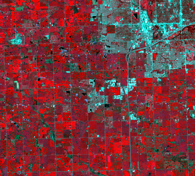
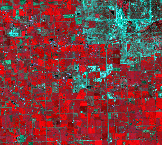
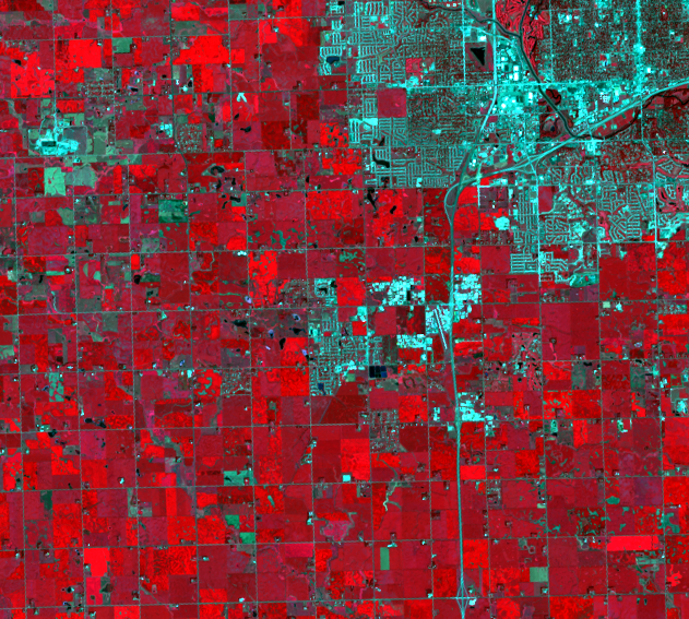
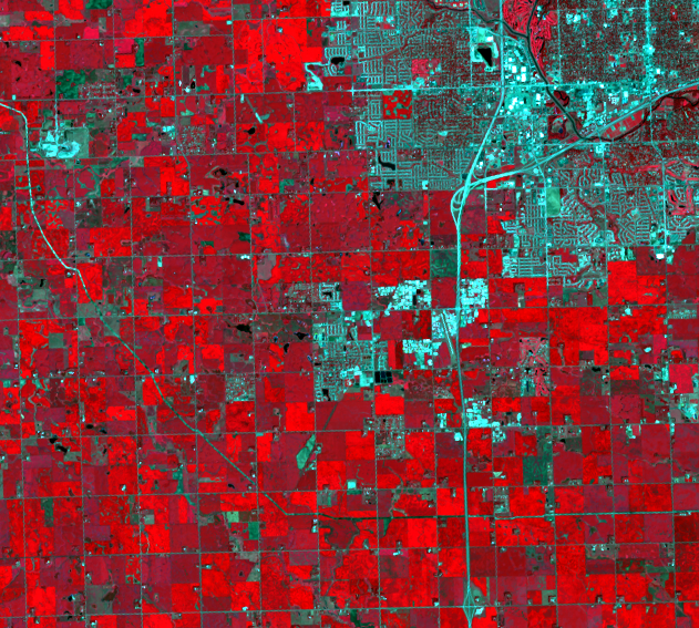
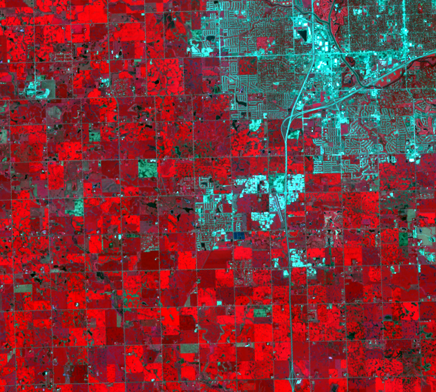
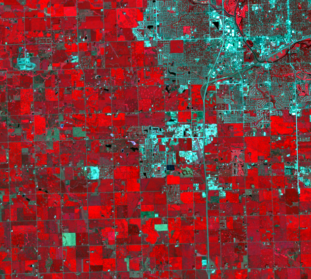
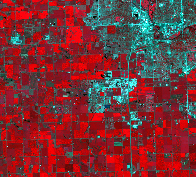
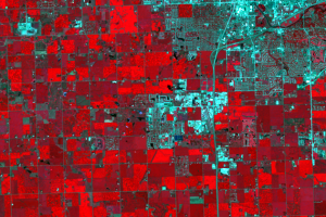
The building of roads and streets is a visible sign of urban expansion in Landsat images. Two new freeway interchanges show up in southwestern Sioux Falls in the 1995 and 1997 images. Once retail began expanding, new interchanges were needed to access the shopping and dining areas. After these new interchanges were built, additional development soon followed.
In new residential neighborhoods, the street patterns appear white-blue in color at first. These areas gradually change to a mottled blue-red as time goes on. Red indicates plant growth—in these neighborhoods, as trees mature, they begin to obscure the streets that were once clearly visible. As new residential areas expand west and south, you can see the new neighborhoods appear bright white-blue in color because trees are still too small to block the satellite’s view of the homes and streets.
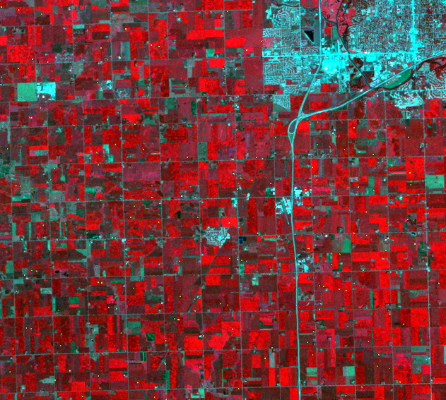
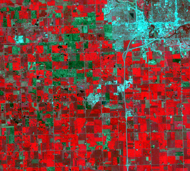
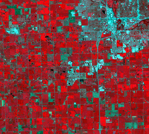
A curious line appears in only the 2016 image, starting near the upper left, curving southeast, then bending straight east. This is the path of the Dakota Access Pipeline, which carries oil from the Bakken formation of North Dakota to Illinois. The line is not in the 2018 image as cropland or other vegetation regrew over it. The brightest part of the pipeline dig is on the west side of the image, near another bright spot, which is the regional landfill.
Imagery

Downloads
Related Content
Sioux Falls, South Dakota, USA
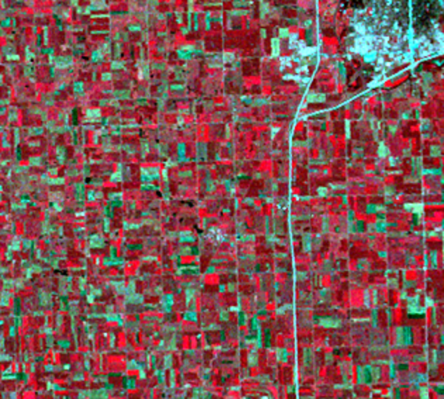
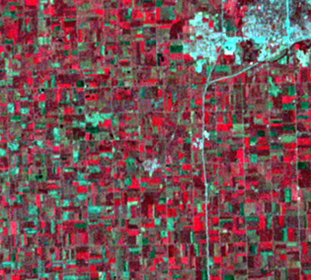
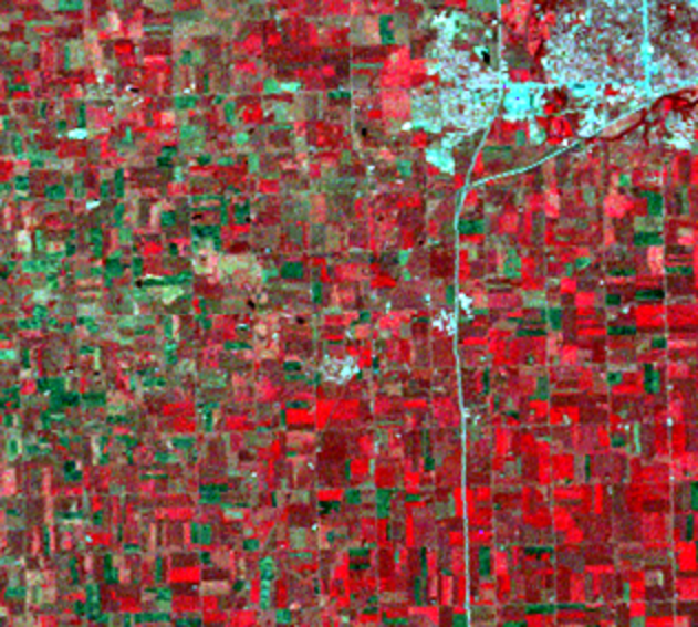
A half-section of land 10 miles north of Sioux Falls, South Dakota, su...
Sioux Falls
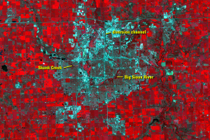
The Big Sioux River flows through Sioux Falls, with Skunk Creek joinin...
Development Patterns
The building of roads and streets is a visible sign of urban expansion...
Eastward Expansion
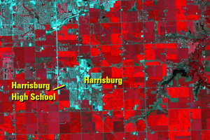
On the east side of Sioux Falls, cropland continues to give way to dev...
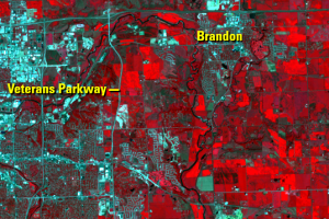
Southern Expansion
Since we’re comparing rate of change in population growth since 1970, ...