

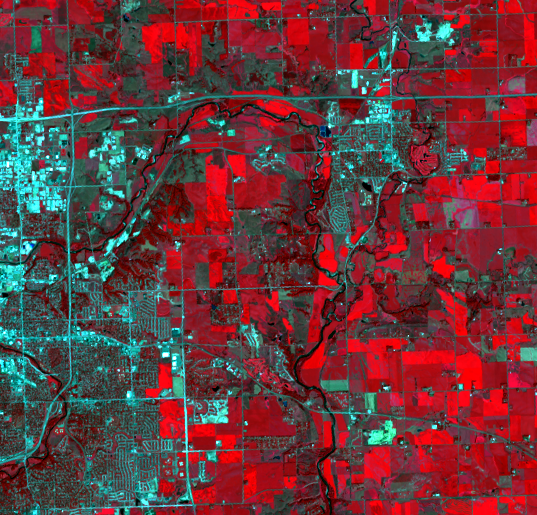
Eastward Expansion
Earth Resources Observation and Science (EROS) Center - Earthshots
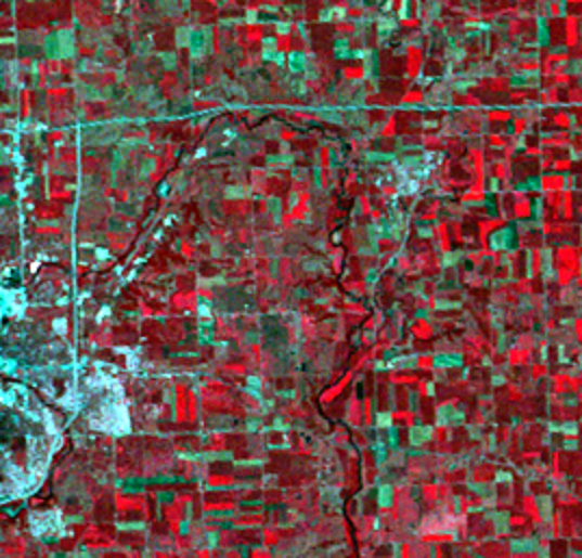
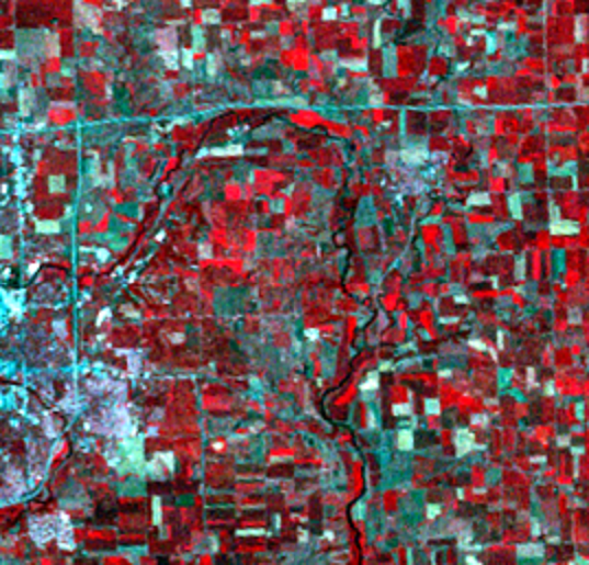
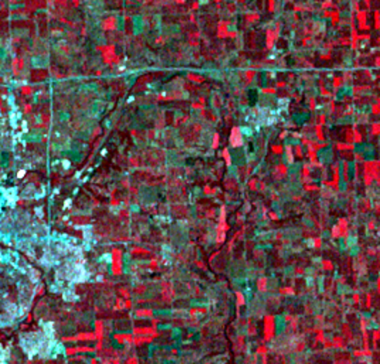
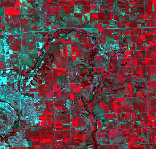
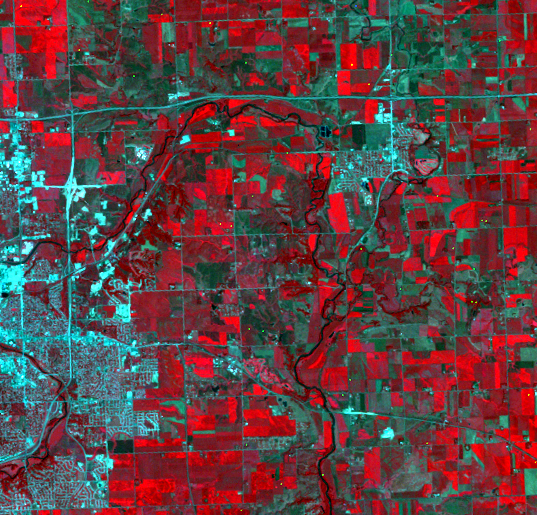
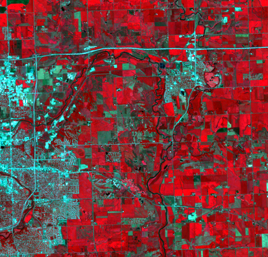
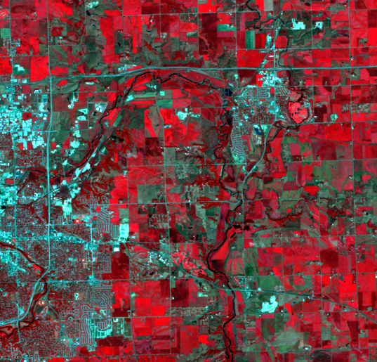
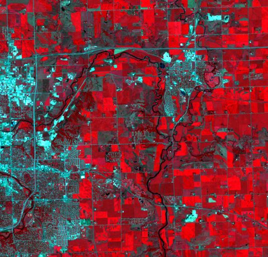
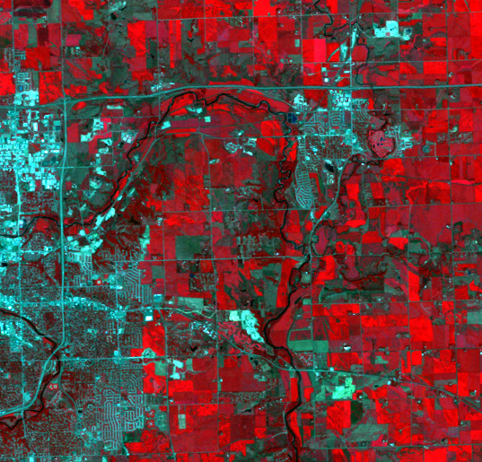
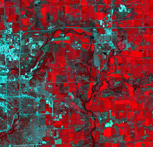
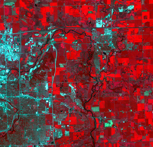
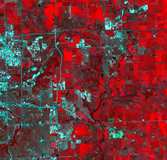
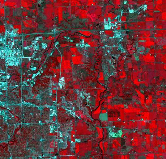
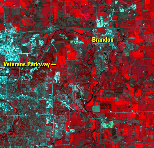
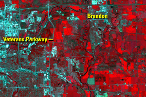
On the east side of Sioux Falls, cropland continues to give way to developed land. Many U.S. cities have grown with a similar pattern—people moving to suburbs instead of to the central part of cities. Suburbs changed from bedroom communities to having their own focal points for retail and service industries. Sioux Falls reflects this phenomenon at a smaller scale—both retail and residential development expand into these suburban-type areas.
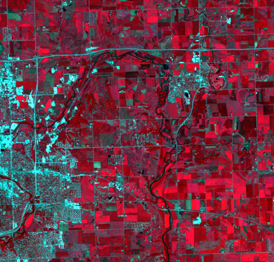
Note that the land is cleared first, noticeable as a pale smudge, and then street patterns emerge. Larger white blocks in the images are retail establishments, often with parking lots surrounding them.
Retail development covers former farmland along a new highway called Veterans Parkway. The road eventually lengthens to meet up with Interstate 90 to the north, a strong hint at where more growth is planned.
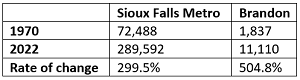
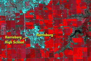
Northeast of this Sioux Falls expansion is the city of Brandon. There is starting to be less distance between Sioux Falls and Brandon. Since 1970, Brandon’s population has grown by over 500%, greatly outpacing the Sioux Falls metro population rate of growth during this time.
Imagery
Downloads
Related Content
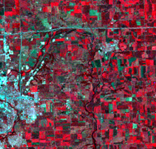
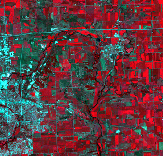
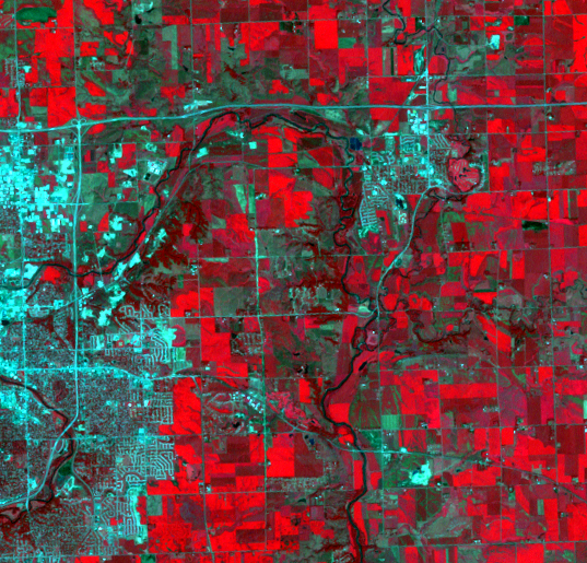
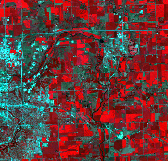
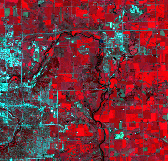
Sioux Falls, South Dakota, USA
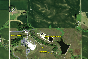
A half-section of land 10 miles north of Sioux Falls, South Dakota, su...
Sioux Falls
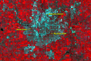
The Big Sioux River flows through Sioux Falls, with Skunk Creek joinin...
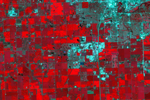
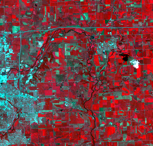
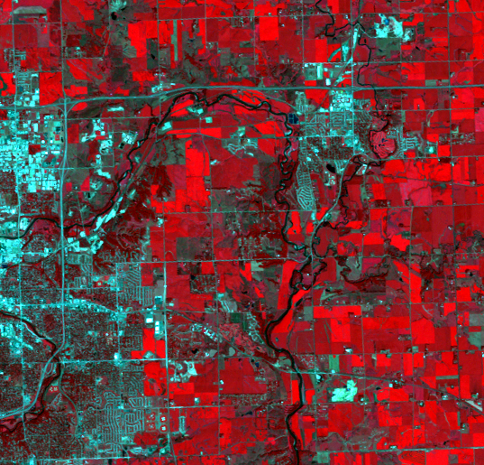
Development Patterns
The building of roads and streets is a visible sign of urban expansion...
Eastward Expansion
On the east side of Sioux Falls, cropland continues to give way to dev...
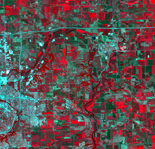
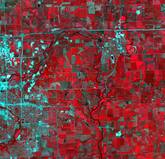
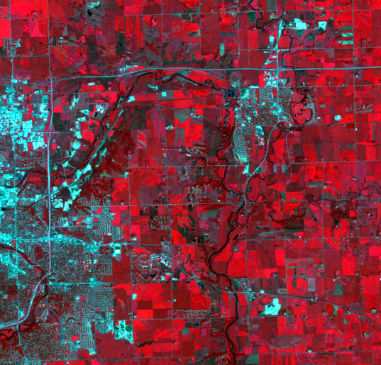
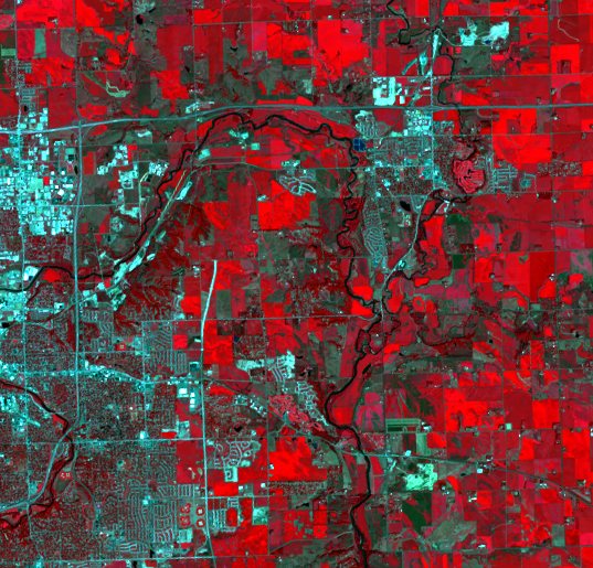
Southern Expansion
Since we’re comparing rate of change in population growth since 1970, ...