

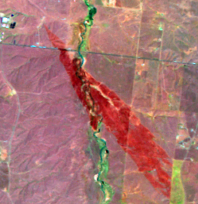
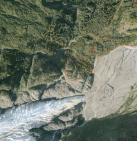
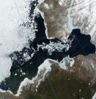
Remotely sensed data, information, and resources contribute significantly to mission-critical work across the Department of the Interior (DOI). Spanning data sources from aerial photography, to moderate resolution satellite data, to highly specialized imaging sensors and platforms, DOI personnel use remote sensing capabilities to evaluate and monitor land-surface conditions over the vast areas for which DOI has responsibility. This report from the DOI Remote Sensing Working Group (DOIRSWG) provides a sampling of the many applications of remote sensing across the DOI.*
* Any use of trade, firm, or product names is for descriptive purposes only and does not imply endorsement by the U.S. Government.
