As part of a groundwater export feasibility study, the BOR was directed to assess the perennial yield of groundwater from Dixie Valley, a closed basin in western Nevada. Because Dixie Valley is a closed basin, annual groundwater recharge from surrounding mountains is lost primarily through transpiration by desert phreatophytes on the valley floor, whose roots tap the groundwater. BOR used five consecutive midsummer NDVI* (“NDVI Star”) images (a version of the Normalized Difference Vegetation Index standardized to fall between a soil background value of 0.0 and a vigorous vegetation value of 1.0) in combination with annual grass reference evapotranspiration and precipitation totals to estimate mean annual groundwater transpiration by phreatophytes (see Groeneveld, David P., et al., 2007, Annual groundwater evapotranspiration mapped from single satellite scenes. Journal of Hydrology, volume 344, issues 1-2, pp. 146-156). The soil background NDVI values needed to calculate NDVI* vary substantially across Dixie Valley but were effectively captured using Landsat TM (Thematic Mapper) images acquired in the late fall and winter after phreatophytic plants had shed their leaves.

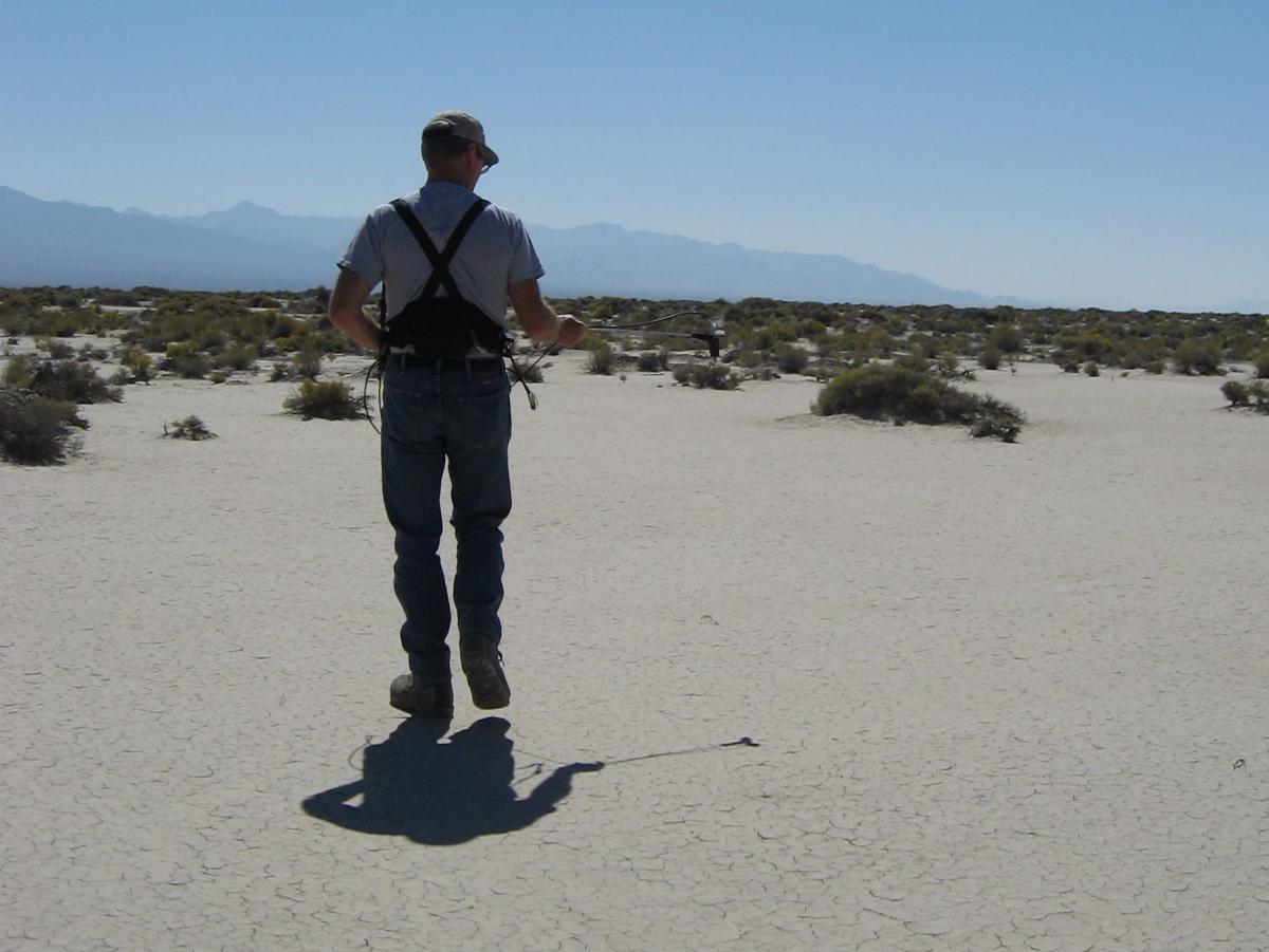
Acquiring reflectance spectra in Dixie Valley, Nevada.

