
The Everglades National Park (EVER) and Big Cypress National Preserve (BICY) vegetation mapping project is part of the Comprehensive Everglades Restoration Plan (CERP). The CERP is a cooperative effort between the South Florida Water Management District (SFWMD), the U.S. Army Corps of Engineers (USACE), and the National Park Service (NPS) Vegetation Mapping Inventory Program (VMI). The goal of this project is to produce a spatially and thematically accurate vegetation map of these two park units prior to the completion of restoration efforts for use in management, research, and monitoring.
Work on the project is near completion. The project covers an area of approximately 7,400 square-kilometer (1.84 million acres) and consists of 7 mapping regions: 4 regions in EVER, (Regions 1 through 4) and 3 regions in BICY (Regions 5 through 7). Photo-interpretation is performed by superimposing a 50-meter x 50-meter (¼ hectare) grid cell vector matrix over stereoscopic color infrared aerial imagery on a digital photogrammetric workstation. Photo-interpreters identify the dominant vegetation community in each cell by applying majority rule algorithms, recognizing characteristic community-specific spectral signatures, and referencing an extensive ground-truth database.
All regions have been mapped except for a portion of Region 1. Thematic accuracies of completed regions range from 85% to 93.1%, while lower 90th percentile confidence intervals range from 82% to 90.8%. Region 2 and Region 3 are available for download from the NPS Integrated Resource Management Applications (IRMA) portal at https://irma.nps.gov/DataStore/Reference/Profile/2244641 and 2257752, respectively. The map for eastern Big Cypress (Regions 5 and 6) was completed in 2019 and will be available on IRMA by 2020. The Region 4 vegetation map is pending quality assurance and quality control (QAQC) evaluation and the Region 7 vegetation map is pending peer review. Support for this project comes from the NPS Volunteers-In-Parks (VIP) program and the USACE.
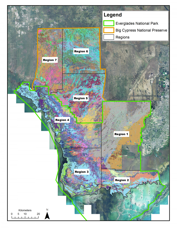
Footprint of the Everglades National Park and Big Cypress National Preserve vegetation mapping project showing mapping regions and completed areas. The project covers an area of approximately 7,400 square kilometers (1.84 million acres).