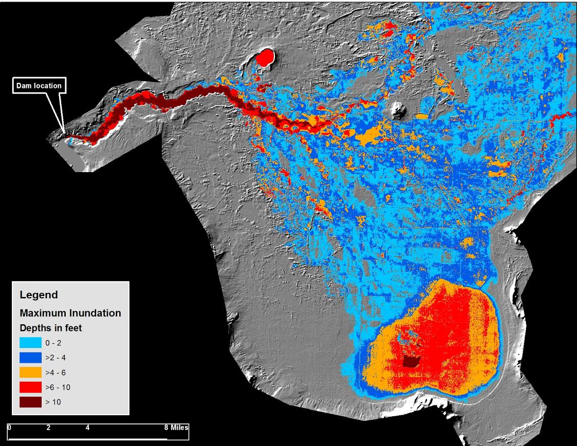
BOR performs dam failure inundation modeling and mapping in support of emergency evacuation planning and dam safety risk analysis. Interferometric Synthetic Aperture Radar (IFSAR), lidar, and other geospatial terrain data are used within an Esri ArcGIS environment for pre- and post-processing of numerical hydraulic models. Hydraulic modeling employs one- and two-dimensional modeling techniques and relies primarily on the models produced with MIKE software by DHI. Inundation modeling results are used to create maps and are overlain with residential census data to estimate affected populations at risk. This work is an integral component of Emergency Action Plans for dams and as data for estimating the potential for life loss from dam failure.

Typical two-dimensional flood inundation modeling output, classified by ranges of maximum flooding depth.

