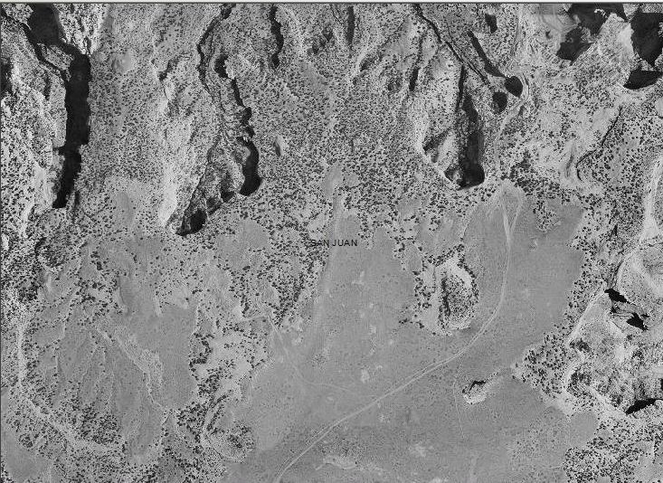
The existing in-house holdings of BLM Utah State Office vintage aerial photographic film acquired during 1966 for the Utah Photography for Resource Management (UPRM) project (10,300 images) was scanned and orthorectified. The area of interest covers primarily the eastern portion of Utah. The completed product includes the raw, scanned imagery; intermediate processed imagery; final orthoimagery (on a quarter-quad basis), and 11,000 control points, as well as a MrSID compressed mosaic of the full project area. Imagery is used to support Revised Statute (RS) 2477, monitoring, change detection, and planning efforts throughout the eastern portion of the State.

Orthorectified project imagery, 1 m resolution. North is oriented toward the top of the image; the area depicted is aproximately 6 x 8-miles.

