The BLM National Operations Center (NOC) is using multi-date aerial photography and remotely sensed imagery to delineate recent and historical river channel extents and gradients of the Red River (Texas/Oklahoma) as a continuation of support of the BLM New Mexico State Office (NMSO).
Data from spaceborne sensors such as Landsat 5, Landsat 8, and Sentinel-2 were used to characterize Red River extent and channel movements. These datasets were processed in the Google Earth Engine (GEE) development environment, which combines a large imagery catalog with a suite of spatial and aspatial tools for analysis and product generation. A time series video illustrating over 30 years of water cover trends along the Red River was produced in GEE from the Landsat imagery archive. This video provided BLM officials with a powerful visual tool to further understand the Red River’s dynamic variations in streamflow and channel morphology.
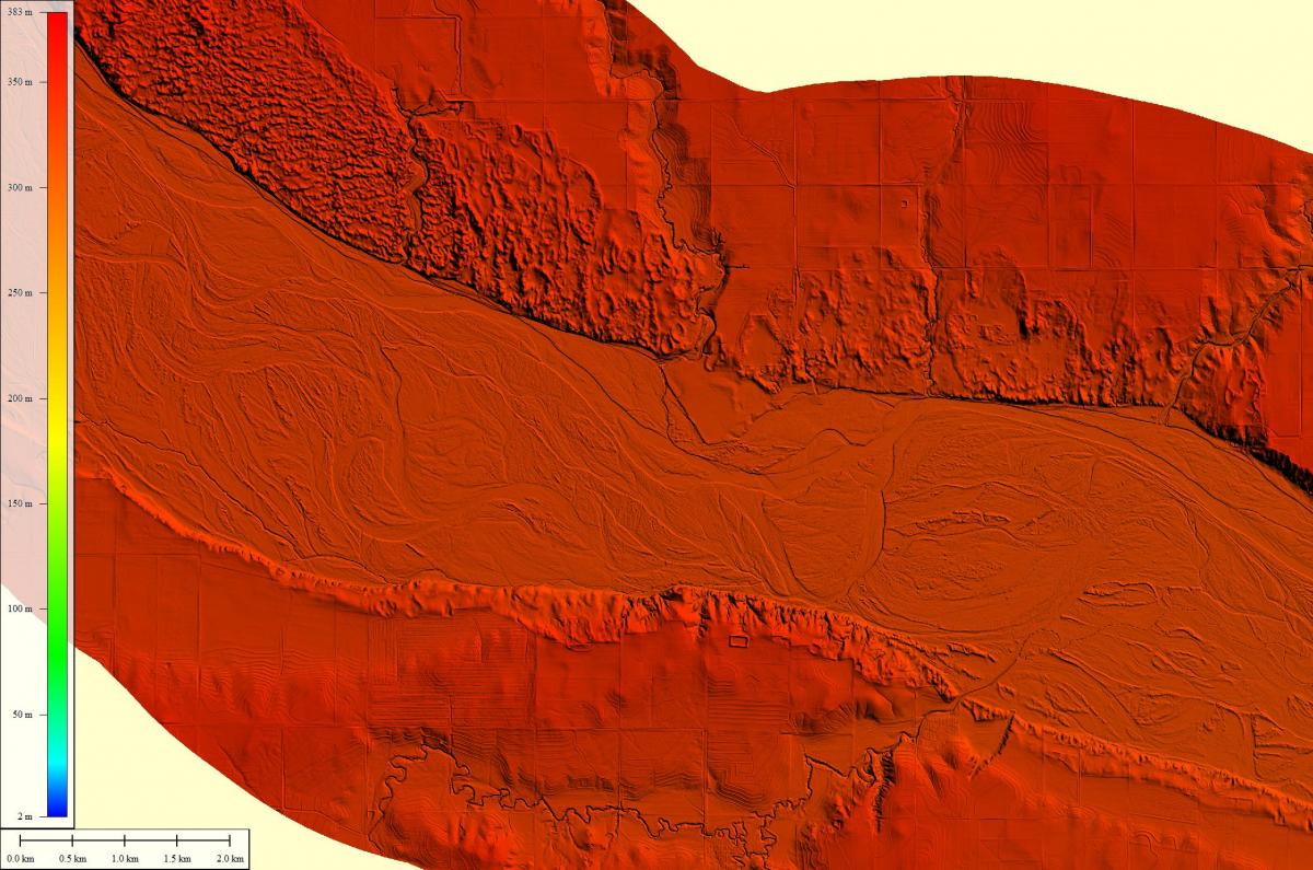
In addition to exploiting the Landsat and Sentinel-2 archives, the BLM utilized commercial high-resolution imagery to provide finer-scale water cover information. WorldView-3 data acquired in March 2016 were orthocorrected and pan-sharpened to produce a fine-resolution (35-cm) image product. Lidar data were also collected during spring 2016 along a large reach of the Red River. The data were acquired under rigorous accuracy standards (U.S. Geological Survey Lidar Base Specification Quality Level 1 (QL1)) and could provide a valuable new scientific dataset for the Federal and civil community. Resultant lidar products included a classified point cloud, hydro-breaklines, and a fine-scale bare earth surface dataset.

Digital Elevation Model (DEM) derived from lidar data of the Red River.

