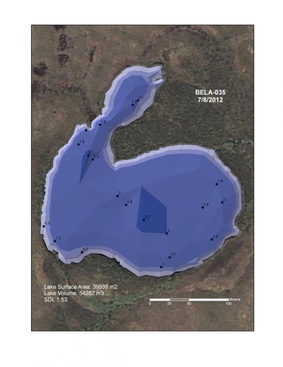
The Alaska Shallow Lake Monitoring Program monitors the water quantity, water chemistry, littoral vegetation community composition, and macroinvertebrate communities of shallow lakes in the Arctic (ARCN) and Central Alaska (CAKN) Networks of the National Park Service Inventory and Monitoring Program. Remote sensing and Global Positioning System (GPS) technologies are used for many monitoring efforts, including the selection of study sites, preparation of navigational documents and maps, documenting the location of study sites and sample collection points, collecting bathymetry data, generating lake volume estimates, calculating shoreline development index (SDI) values, and performing lake area change analysis. For example, field technicians collect bathymetry points using a handheld depth finder and record the depth sample point using a Trimble GPS unit. These depth points are then combined with a shoreline digitized from recently available high-resolution satellite or aerial photography. A triangulated irregular network (TIN) data structure is created to calculate lake volume. The digitized shoreline is then used to calculate the SDI, an index of shoreline complexity (see figure showing TIN data structure).
 Depth point features are combined with shoreline digitized from high-resolution imagery to create a triangulated irregular network (TIN) data structure, which is used to estimate lake volume.

