The Midwest Archeological Center (MWAC) maintains archeological data sets for parks in the Midwest Region and assists parks with archeological issues. The Center’s Archeological Information Management Team makes extensive use of Geographic Information Systems (GIS) to maintain spatial location information on over 5000 archeological sites in the region. Remotely sensed data is an integral component of the archeological base maps and are used in data analysis. The data, maintained in attribute and spatial databases, are used to aid in the preservation and protection of those sites.
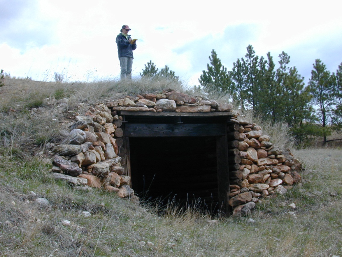
Global Positioning Systems are used on a regular basis to record the location and features of archeological sites. High accuracy mapping grade GPS units are used to record data in the field and is added to the archeological base maps for the parks. The Center has acquired a survey grade GPS unit that will be used for more detailed mapping of site features and test excavations.
Using GPS to record the location of an historic feature at Wind Cave National Park, South Dakota
NAIP imagery is acquired from the USDA internet sites to use as base data for archeological sites in most Midwest Region parks. This imagery allows researchers to detect field areas, stream terraces, and other land features that guide field investigations of archeological sites. NAIP imagery is also used for maps provided to park law enforcement officers to help them relocate archeological sites for annual inspections as a part of the Midwest Region’s Ranger Monitoring Program.
Some examples of how remote sensing data were used for 2011 are listed below:
-
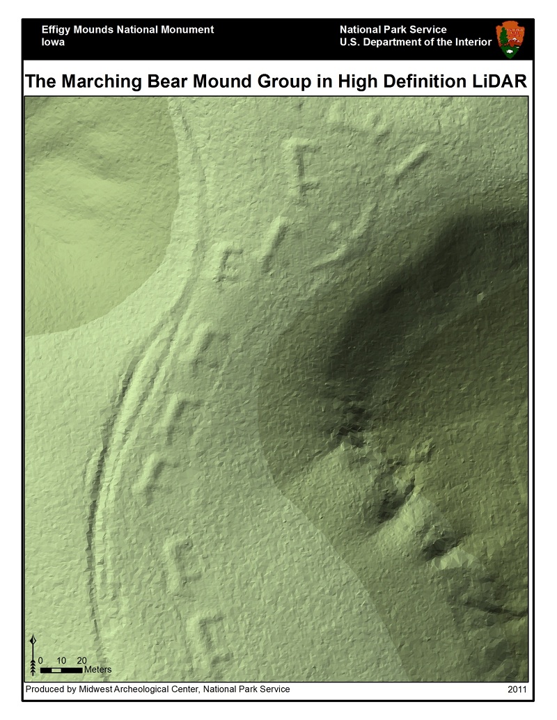
Effigy Mounds National Monument, Iowa – Lidar data acquired in 2010 was processed to create high resolution topographic data for the detection of mounds and other prehistoric and historic resources. These data are essential for the discovery of these resources and their preservation.
-
Sleeping Bear Dunes National Lakeshore, Michigan– The most recent aerial imagery from NAIP was combined with GPS data and traditional archeological data (plan views, maps, images, etc.) to create an interactive map of the 19th century site of Aral. This was made available to park users including law enforcement staff who investigated incidences of small-scale looting at the site in 2011.
-
Missouri National Recreational River, South Dakota and Nebraska – NAIP photography was combined with high resolution lidar data acquired by the U.S. Army Corps of Engineers (USACE) to develop a map of archeological sites that may have been damaged due to the historic Missouri River flooding in 2011. Once water levels receded, these maps were used to check the sites for bank erosion and site exposure.
-
Lewis and Clark National Historic Trail, Nebraska – An analysis using NAIP and lidar was conducted in hopes of relocating the site of an Omaha village that was noted by Lewis and Clark during their 1804 expedition. While it was believed that this site in northeast Nebraska had been lost to history, the high resolution aerial photography and elevation data, along with the historic maps and accounts, helped deduce where the site is likely to be found. Follow-up field work will help to confirm the location of the Bow Creek Village.
-
Palo Alto Battlefield National Historical Park – While this park is not in the Midwest Region, MWAC provides archeological assistance to any National Park unit that requests it, especially with geophysical investigations of buried deposits. In this case NAIP photography and geophysical prospection techniques were used to relocate Fort Brown in Brownsville, Texas. By using NAIP photography, high accuracy GPS of geophysical grid locations, and geo-referenced historic Fort maps, MWAC archeologists were able pinpoint the original location of the fort. This information will be used to help preserve this important resource.
 Use of lidar imagery in the detection of burial mounds in Effigy Mounds National Monument, Iowa.


