The Inventory and Monitoring (I&M) Central Alaska Network stream monitoring program relies heavily on GPS and remote sensing technology. Remotely sensed imagery, particularly IKONOS and high-resolution aerial photography is used extensively to evaluate the suitability and logistical feasibility of potential sampling locations prior to the field season. This is of particular importance in a large, remote landscape like the Central Alaska Network, where the cost of accessing sampling sites is particularly high. GPS is used daily to navigate to predetermined sampling coordinates and attach accurate location information to biological and habitat data collected in the field, including samples collected at stream reaches and anomalous permafrost features as part of an effort to construct a comprehensive dynamic database.
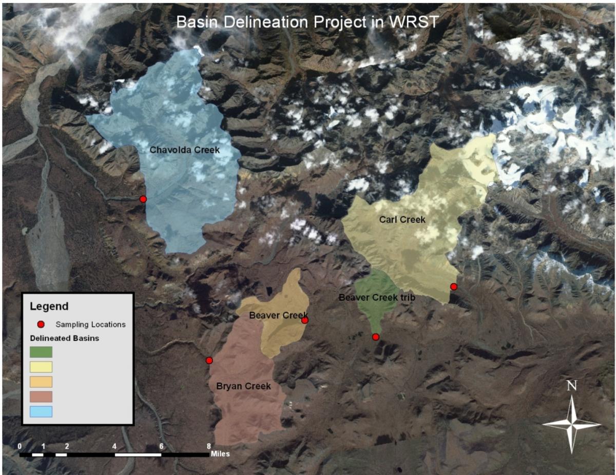
Digital Elevation Models (DEMs) are used to construct flow-accumulation grids for the sampled locations, a critical step in the delineation of point-specific drainage basins, IKONOS imagery is used to help confirm the accuracy of the resulting delineated basins depicted below. The derivation of spatially-explicit basin descriptors for each sampling location is important for the ecological and hydrological modeling used to understand and quantify ecosystem status and trends across the landscape.
DEM-derived drainage basins and IKONOS imagery of Wrangell-St. Elias National Park and Preserve


