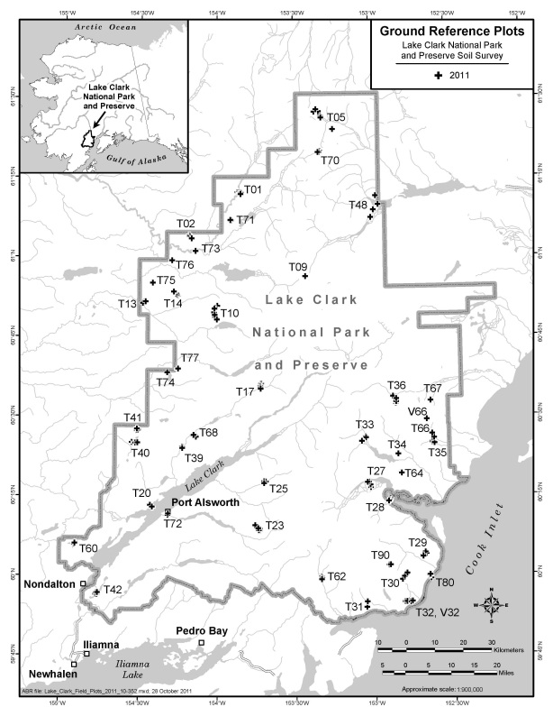
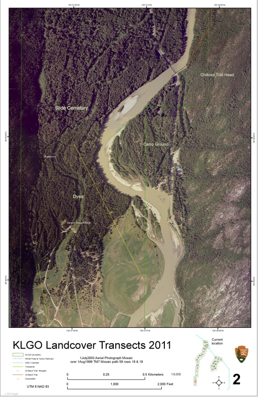
The Alaska Region I&M program uses a variety of remote sensing technologies to assist its efforts to inventory vegetation and soils within the region. As with other NPS programs, the Inventory Program uses GPS to establish ground control for satellite image analysis, and to collect geolocation information of our study sites. During routine office work, transects, plot locations, and related geospatial data are overlaid on satellite and/or aerial photography. Remotely sensed imagery is also used as background data for GPS unit displays to aid navigation while in the field. Standard scale hard copy aerial image maps are generated for navigational and reference purposes while in the field. These hard copy maps provide a backup to GPS units should they fail while in remote areas.
The Alaska Region's Exotic Plant Management Team also uses GPS technology as an important tool for invasive plant management, as it allows managers to map and monitor invasive plant populations and to document the success of control measures.
GPS-derived soil sample locations in Lake Clark National Park and Preserve
Aerial photo image field map used for navigation and reference during the Landcover Inventory project in Klondike Gold Rush National Historical Park (KLGO)


