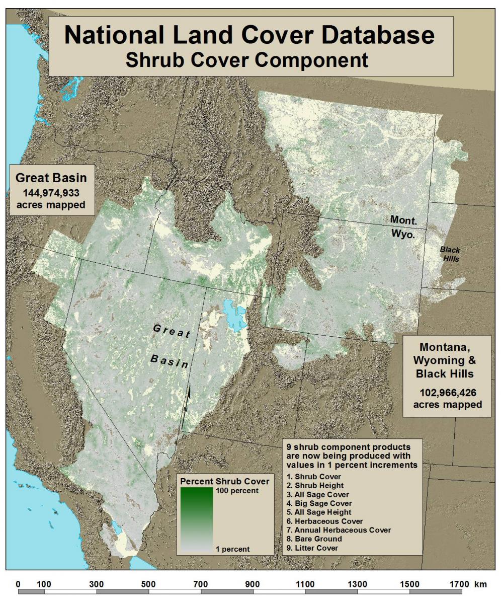
The USGS, in collaboration with the Bureau of Land Management (BLM), is producing the most comprehensive remote-sensing-based quantification of western U.S. shrublands to date. Nine individual products are being produced that represent primary shrubland components. Component values represent the proportion (fractional vegetation) of each target component for every 30-m pixel. Component products include percent shrub, percent sagebrush, percent big sagebrush, percent herbaceous, percent annual herbaceous, percent litter, percent bare ground, shrub height, and sagebrush height. Component products can be combined and thresholded to support many different applications and are especially designed for maximum monitoring and change detection utility. These products will also be incorporated into the production of the National Land Cover Database (NLCD) 2016, enhancing the accuracy of the shrub, grassland, and barren classes. The latest data to be released, covering parts of Nevada, Oregon, Idaho, Utah, Montana, Wyoming, North Dakota, South Dakota, and Colorado, are available at https://www.mrlc.gov/wy_mt_bh_shrub.php.
https://www.mrlc.gov/nlcdshrub.php

NLCD shrub cover component.

