
High-resolution digital elevation models generated from airborne lidar are often used for studying dynamics specific to barrier islands, including assessing morphology, extracting shorelines, and mapping habitats. While airborne lidar data have revolutionized the spatial scale for which elevations can be realized, elevation uncertainty limitations are often magnified in digital elevation models in coastal settings. For instance, researchers have found digital elevation models produced from airborne lidar can have a vertical uncertainty as high as 60 centimeters in densely vegetated marsh. The uncertainty of digital elevation models is often left unaddressed, yet in low-relief environments, such as barrier islands, centimeters can affect exposure to physically demanding abiotic conditions.
In response, researchers at the USGS Wetland and Aquatic Research Center have applied and tested a probabilistic approach to mapping intertidal areas that incorporates elevation uncertainty. This approach included the use of tide gage information, in-situ elevation data, and information from lidar metadata to simulate the propagation of vertical uncertainty into a digital elevation model using Monte Carlo simulations. Dauphin Island, Alabama, a barrier island off the northern Gulf of Mexico coast, was used as the setting for these analyses. This study included an assessment of how the identification of low-lying and intertidal areas varied for three different elevation uncertainty treatments. These included leaving uncertainty untreated and treatments that used Monte Carlo simulations to incorporate vertical uncertainty using lidar metadata and in-situ elevation data, respectively. A sensitivity analysis was conducted to assess how changes to error and bias impacted the results. Digital elevation models with treatment of uncertainty identified low-lying lands with greater accuracy compared to the digital elevation model without uncertainty treatment. The percent coverage of intertidal areas was increased by up to 80% when using Monte Carlo analyses to treat vertical uncertainty. Based on the results from the sensitivity analyses, it may be reasonable to use error and bias values from literature for similar environments, sensor technology, and acquisition specifications if the collection of in-situ elevation data is not feasible and lidar metadata is insufficient. The approach should be applicable to both current lidar technology and future technological advancements, such as elevation data collected using unmanned aircraft systems, and provide scientists with a framework for an automated methodology that is accurate and repeatable for tidal zone delineation for coastal environments. http://www.mdpi.com/2072-4292/10/1/5
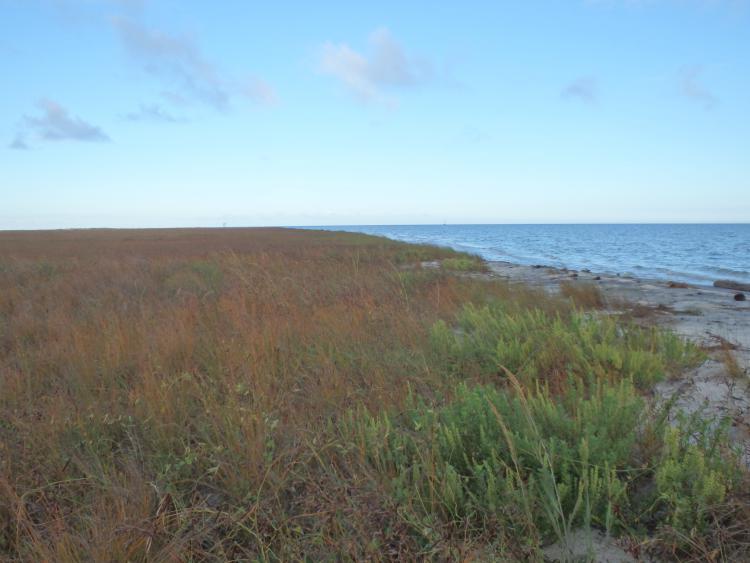
Back barrier marsh on Dauphin Island, Alabama, October 2015 (Michael Osland, USGS).