
The U.S. Army Corps of Engineers (USACE) Upper Mississippi River Restoration (UMRR) program, through its Long Term Resource Monitoring (UMRR-LTRM) element, collected systematic imagery of the entire Upper Mississippi River System (UMRS) during the summer of 2020. Development of the 2020 Land Cover/Land Use (LCU) database will provide a fourth systematic dataset to compare to the 1989, 2000, and 2010/11 coverages. Once completed, the 2020 dataset will be invaluable in assessing the current state of floodplain vegetation, as well as evaluating long-term vegetation trends and habitat changes over the past 30 years. In coordination with the U.S. Fish and Wildlife Service, the USGS Upper Midwest Environmental Sciences Center conducted the mission planning, aerial image acquisition, image processing from raw to 4-band (red, green, blue, near-infrared), and vegetation mapping. These images were collected at 0.2 m (8 in)/pixel for Pools 1–13 where complex aquatic vegetation requires greater detail, and at 0.4 m (16 in)/pixel for Pools 14 through Open River and the Illinois River using a mapping-grade camera set in a stabilized, georeferenced mount.
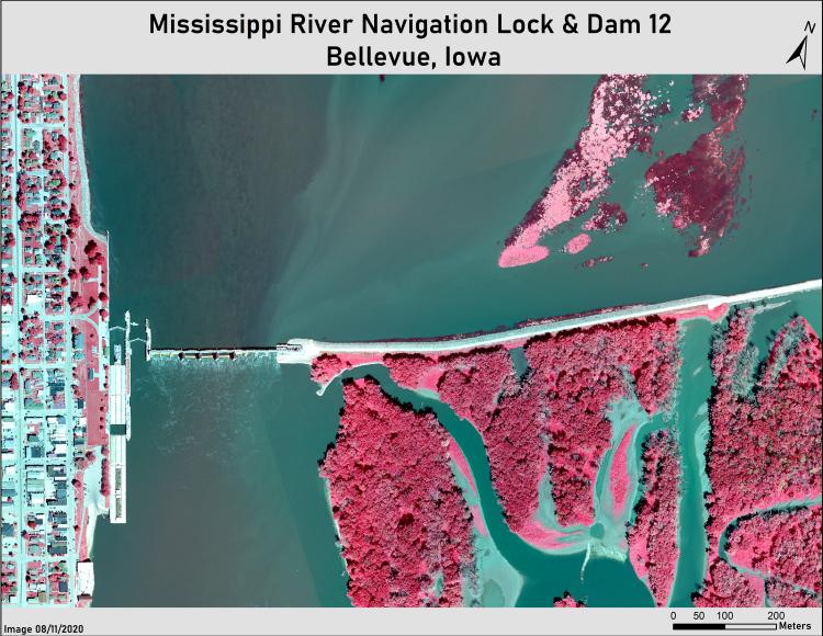
Lock & Dam 12 at Bellevue, Iowa, showing barge/tow, spillway, river current, backwater channels, open pool, floating aquatics, treed islands, and part of town.