
Seagrasses, which are submerged marine plants, have been declining globally at increasing rates. This downward trend is concerning because seagrasses provide numerous ecosystem services including nutrient cycling, sediment stabilization, wave attenuation, and carbon sequestration. Furthermore, they are important habitat for recreationally and commercially fished marine species, including many species of shellfish, finfish, crabs, and shrimp. Natural resource managers rely on monitoring programs to detect and understand changes in these ecosystems. At the landscape scale, the spatial pattern of seagrass meadows can be highly variable, ranging from a continuous cover of vegetation to highly fragmented patches. Technological advancements allow for the development of patch-level seagrass maps, which can be used to explore seagrass meadow spatial patterns through time.
In a recent study, researchers from the U.S. Geological Survey Wetland and Aquatic Research Center and The University of Southern Mississippi compared seagrass lacunarity, a measure of landscape configuration, to assess cross-site and within-site differences in areal coverage and spatial patterns through time. Lacunarity of seagrass meadows was assessed for various box sizes (0.0001 hectare to 400.4 hectare) around Cat Island and Ship Island, Mississippi. For Cat Island, annual peak growing season seagrass maps from 2011 and 2014 were used. Similarly, seagrass maps for seven dates between 1963 and 2014 for Ship Island were used. Cat Island, which had more continuous seagrass meadows, had lower lacunarity (that is, denser coverage) than Ship Island, which had patchier seagrass beds with a wide range of gap sizes. Results for Ship Island included a signal of disturbance and path toward recovery from Hurricane Camille in 1969. Lacunarity can highlight scales at which abiotic factors may be influencing the distribution and spatial patterns of seagrass beds. These results may help natural resource managers inform monitoring programs and make restoration decisions and evaluate restoration efficacy. Lacunarity could also be applied to other environments, especially emergent marsh and mangrove forests.
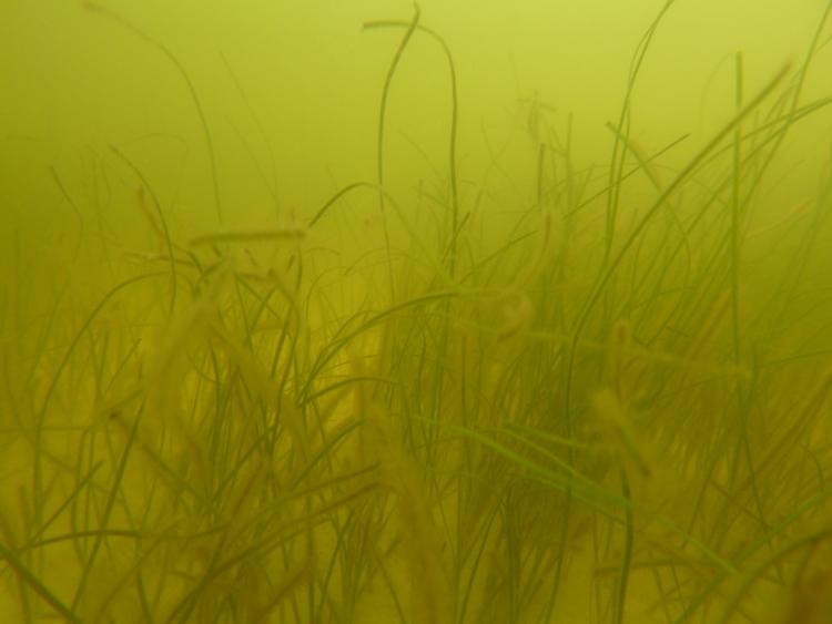
Example of patchy Halodule wrightii (shoal grass), the dominant seagrass species in the Mississippi Sound. Photo credit: Kelly Darnell (The University of Southern Mississippi).
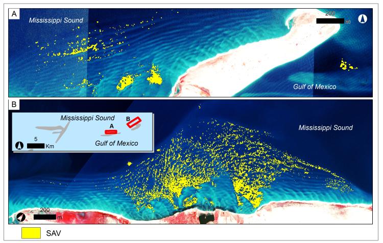
Seagrass distribution for 2014 for A) West Ship Island and B) East Ship Island. The base map is aerial imagery collected in 2014. The associated manuscript is available here.
Disclaimer: Any use of trade, firm, or product names is for descriptive purposes only and does not imply endorsement by the U.S. Government.