
The U.S. Geological Survey (USGS) Earth Resources and Observation Science (EROS) Center has been transcribing film from analog media to digital form since the photo processing lab was closed in 2004. In 2015, EROS offered this service to the Bureau of Land Management (BLM) and began scanning their collection of film records. Seven years later, the scanning of all 4,400 rolls of film contained in the BLM archive is nearly complete. Digitization is achieved using the EROS high-resolution photogrammetric scanning systems. All rolls are scanned frame by frame at 14 microns, or 1,800 pixels per inch. These 4,400 rolls are represented by over 800,000 frames, which are now available to the remote sensing community at no cost through the USGS EROS EarthExplorer user interface at high resolution, along with other collections of aerial photographs. The film is being sent to the U.S. National Archives and Records Administration, where it will be preserved as a permanent record.
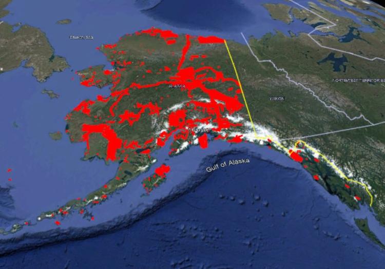
Bureau of Land Management aerial coverage of Alaska available on EarthExplorer (in red), including coverage along the Alaska Pipeline.
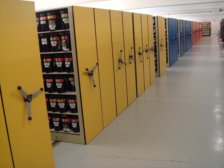
U.S. Geological Survey Earth Resources and Observation Science (EROS) Center film archive. Photo credit: EROS photo catalog.
Disclaimer: Any use of trade, firm, or product names is for descriptive purposes only and does not imply endorsement by the U.S. Government.