
Invasive annual grasses on public lands in the western United States are a problem for land managers. Early-season invasives (ESI) can out-compete native species for resources including water, and in many climates these nonnative species are expanding at a rapid rate. To address these challenges, managers need high-resolution data on ESI cover to quantify change as well as to develop and prioritize management strategies. A pilot project is in development to test and refine methods, using spatially and temporally appropriate remote sensing platforms, to map early season/winter annual invasive vegetation (including cheatgrass (Bromus tectorum), desert alyssum (Alyssum desertorum), and annual wheatgrass (Eremopyrum triticeum)) in the Greater Yellowstone Ecosystem (GYE) with managers at Yellowstone National Park.
The workflow for ESI mapping uses the new Harmonized Landsat Sentinel-2 (HLS) provisional products available through National Aeronautics and Space Administration (NASA) and higher-resolution multispectral images. The HLS project provides consistent surface reflectance (SR) data from the Operational Land Imager (OLI) aboard the joint NASA/U.S. Geological Survey (USGS) Landsat 8 satellite and the Multi-Spectral Instrument (MSI) aboard the European Space Agency’s Copernicus Sentinel-2A and Sentinel-2B satellites. Harmonization of these two datasets shows great potential for mapping ESI due to the enhanced temporal frequency, which allows more cloud-free imagery dates and a greater chance of detecting early-season peak greenness. Similarly, the higher-resolution imagery from Planet allows the identification and detection of smaller cheatgrass patches in specific areas of interest. Through the co-production of actionable science to generate methods to identify early season invasives, this work can inform natural resource management and make technical contributions to time series remote sensing.
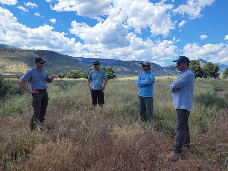
Steve Bekedam (National Park Service (NPS); left) explaining the land use history of a cheatgrass-infested area near Yellowstone National Park in Gardiner, Montana. Cheatgrass appears as the reddish vegetation in the image foreground. Photo credit: Ann Rodman (NPS).
Disclaimer: Any use of trade, firm, or product names is for descriptive purposes only and does not imply endorsement by the U.S. Government.