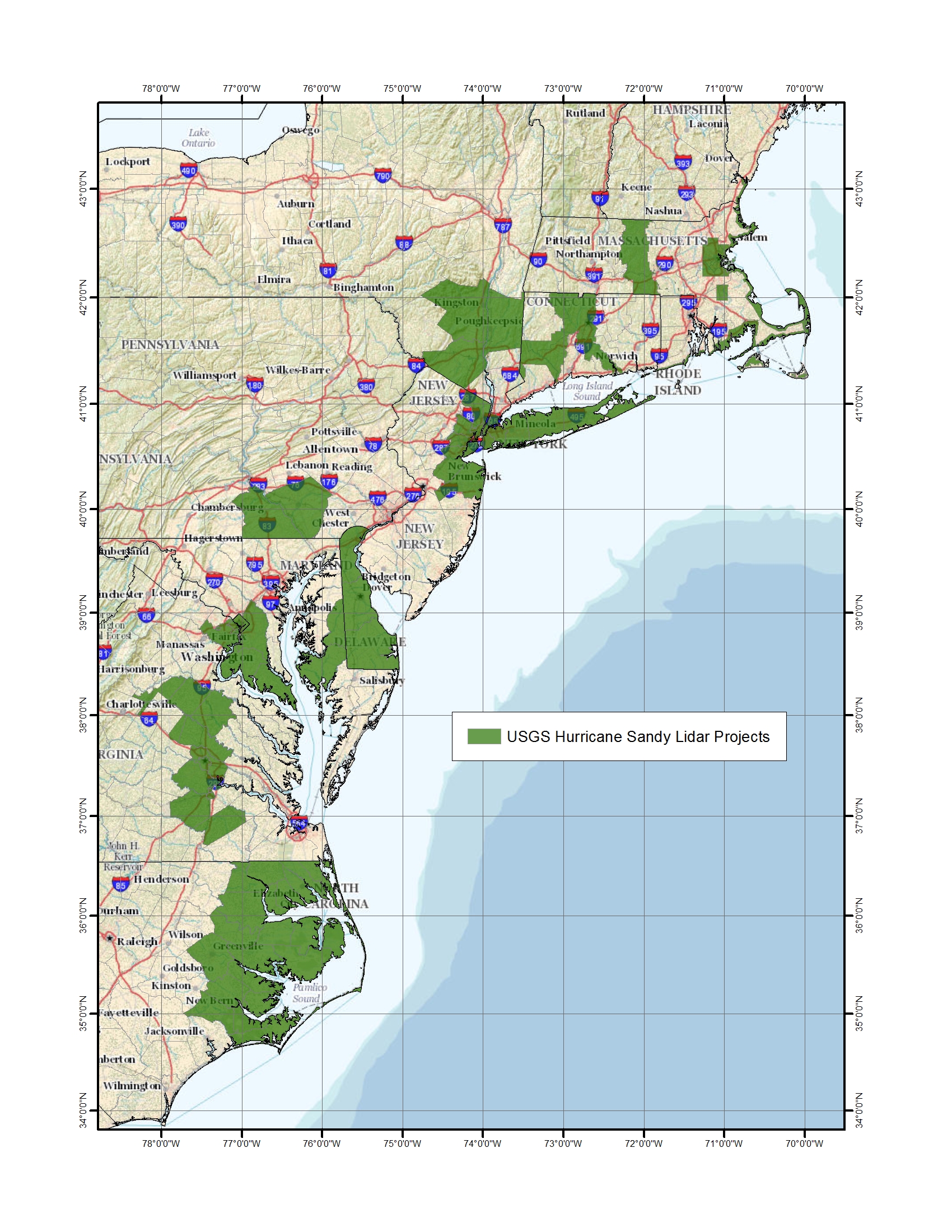
The 3D Elevation Program (3DEP) initiative is a multi-year, multi-agency approach to systematically obtain three-dimensional elevation data for the Nation in an 8-year period. The data will take the form of high-resolution lidar over the conterminous United States, Hawaii, and the Trust Territories, and IFSAR data over Alaska. The Core Science Systems/National Geospatial Program (NGP) manages 3DEP as a collaborative effort among multiple Federal agencies, State and local governments, Tribes, academia, and the private sector. In support of 3DEP, USGS is implementing programmatic and infrastructure improvements to plan, acquire, store, and disseminate vast amounts of lidar and IFSAR data to support a wide range of user requirements for high-resolution elevation data. In FY13, USGS actively participated in several data acquisition activities directly supporting the goals and objectives of 3DEP. For example, for Hurricane Sandy response and mitigation, the Core Science Systems/NGP coordinated the acquisition of approximately 27,000 square miles of high-resolution lidar over the affected area through the Geospatial Products and Services Contract (GPSC). Additionally, for South Platte River flooding, USGS assisted the Federal Emergency Management Agency (FEMA) and the Denver Regional Council of Governments to acquire approximately 5,600 square miles of high-resolution lidar through GPSC.

Green areas show the locations of Hurricane Sandy lidar projects.

