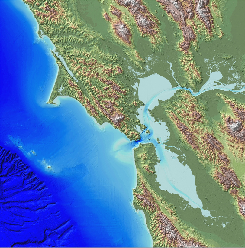
Quantitative high-resolution coastal elevation information is required to build integrated topobathymetric elevation models, inventory wetland and agricultural land resources, and identify flood, hurricane, and sea-level rise inundation hazard zones. Many applications of geospatial data in coastal environments require detailed knowledge of near-shore topography and bathymetry, as physical processes in the coastal environments are controlled by the geomorphology of both “over-the-land” topography and “underwater” bathymetry. Light detection and ranging (lidar) enables the rapid collection of accurate elevation data over large areas, and during the last decade, airborne laser altimetry has been widely applied to map coastal geomorphology, leading to improved knowledge of coastal geomorphic processes.
The Coastal National Elevation Database (CoNED) applications project, supported by the USGS Coastal Marine and Geology Program (CMGP), constructs high-resolution integrated topobathymetric elevation models from disparate lidar and acoustic bathymetric datasets aligned both vertically and horizontally to common reference systems. A 2-m topobathymetric elevation model was developed for San Francisco Bay by integrating dozens of high-resolution lidar and bathymetric surveys acquired by numerous sources. The CoNED project in fiscal year 2014 (FY14) plans to release a 3-m topobathymetric elevation model for southern Louisiana, including Louisiana’s Gulf of Mexico barrier islands.

San Francisco Bay 2-m topobathymetric model.

