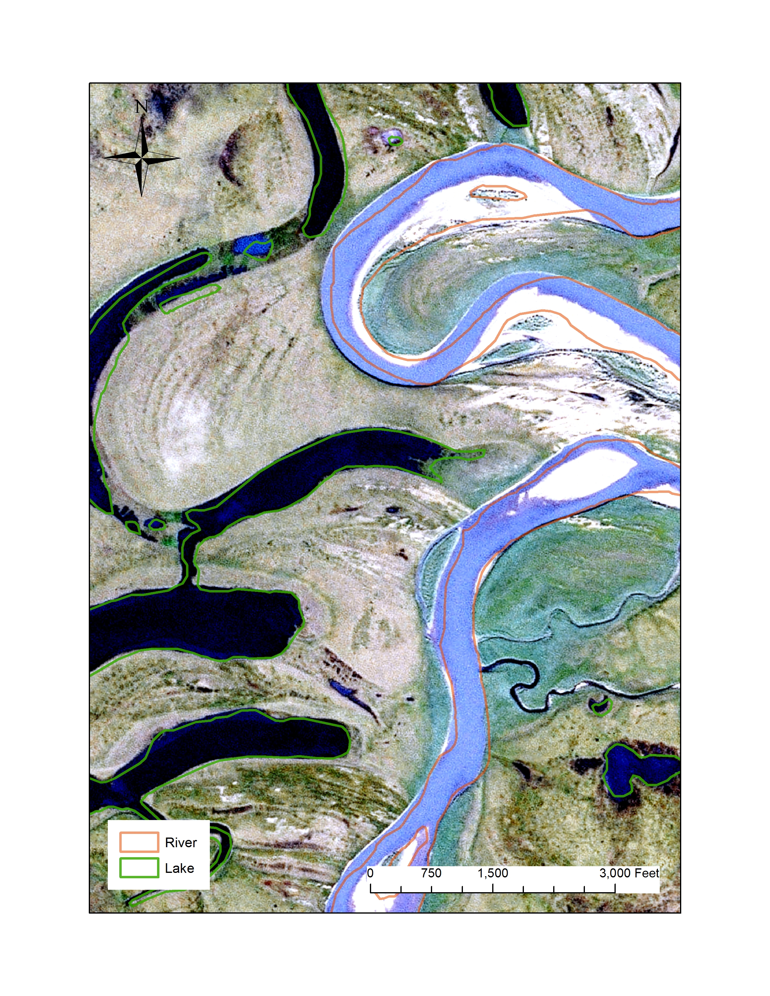
Rivers and lakes are dynamic, and their boundaries can shift and change rapidly. The blue shapes used to represent these water features on maps for Alaska were last collected on a statewide level decades ago and at a smaller scale (1:63,360) than the rest of the United States (1:24,000). Multi-band SPOT imagery is currently being collected with a 2.5-m spatial resolution for Alaska. Its high spatial resolution and recent collection date are well-suited for use as reference images when determining which river and lake boundaries need to be updated. Along with IFSAR breaklines, this remote sensing dataset allows for faster and more efficient National Hydrography Dataset (NHD) updates than coarser, older imagery, or than sending cartographers to the field for on-the-ground measurements.

National Hydrography Dataset features shown on SPOT image.

