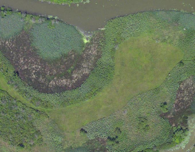
The USGS UMESC is using state-of-the-art three-dimensional mapping technologies to create vegetation maps and mapping products from high-resolution digital aerial photography for national wildlife refuges within the 11-state USFWS Midwest Regional (Region 3). During FY13–14, in addition to refuge-managed lands on the Upper Mississippi River floodplain that were mapped for another project, vegetation products were delivered for several Region 3 Refuges including Port Louisa (Iowa) and Ottawa (Ohio). These projects used color infrared analog and digital aerial photography and, where available, lidar.

True color aerial photographic image of Ottawa National Wildlife Refuge wetlands.

