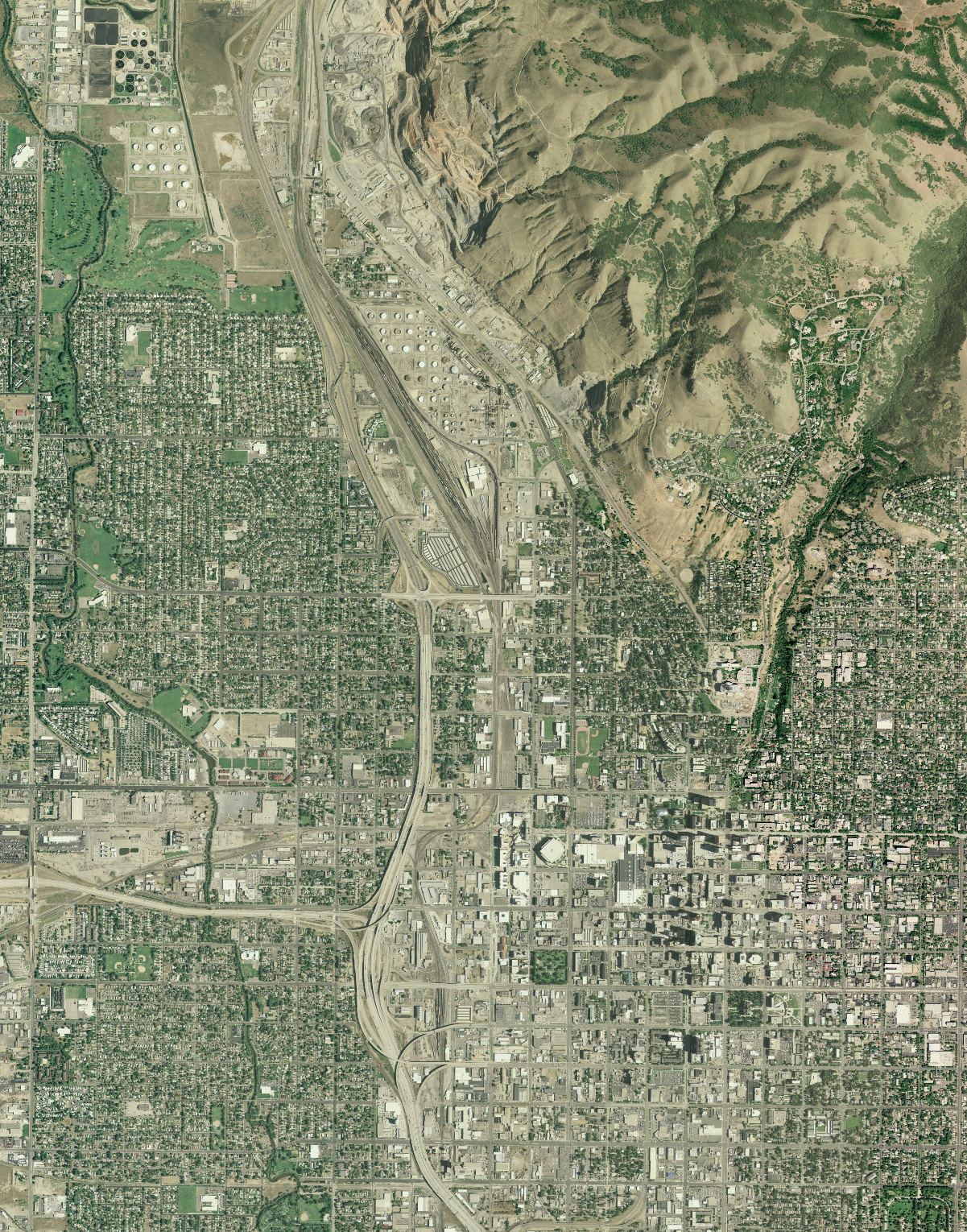
The National Agriculture Imagery Program (NAIP) is administered by the U.S. Department of Agriculture (USDA) Farm Service Agency (FSA) through the Aerial Photography Field Office in Salt Lake City, Utah. NAIP acquires orthorectified imagery at a resolution of 1-m ground sample distance for the United States during the agricultural growing season, or “leaf on” conditions. Orthorectified images combine the image characteristics of an aerial photograph with the georeferenced qualities of a map.
To provide scientists and land managers greater access to the data, the USGS EROS Center augmented the USDA data distribution efforts by managing and distributing NAIP products in JPEG2000 10:1 lossy compressed file format, which is embedded with georeferencing information. The compressed data are made available through the USGS EarthExplorer system, which provides an easy to use, geographic search capability for the user community. The data are available for download to all registered users.
To support the requirements for full-resolution distribution of NAIP data for the Department of the Interior, NAIP full-resolution data are made available through the same EarthExplorer interface, but a special registered user role limits access to the National Park Service (NPS); Bureau of Land Management; Bureau of Indian Affairs; Bureau of Reclamation; U.S. Geological Survey; Office of Surface Mining Reclamation and Enforcement; Bureau of Ocean Energy Management, Regulation and Enforcement; and Office of Natural Resource Revenue. The data format is a full-resolution Georeferenced Tagged Image File Format (GeoTIFF).

National Agriculture Imagery Program JPEG2000 image of Salt Lake City, Utah.

