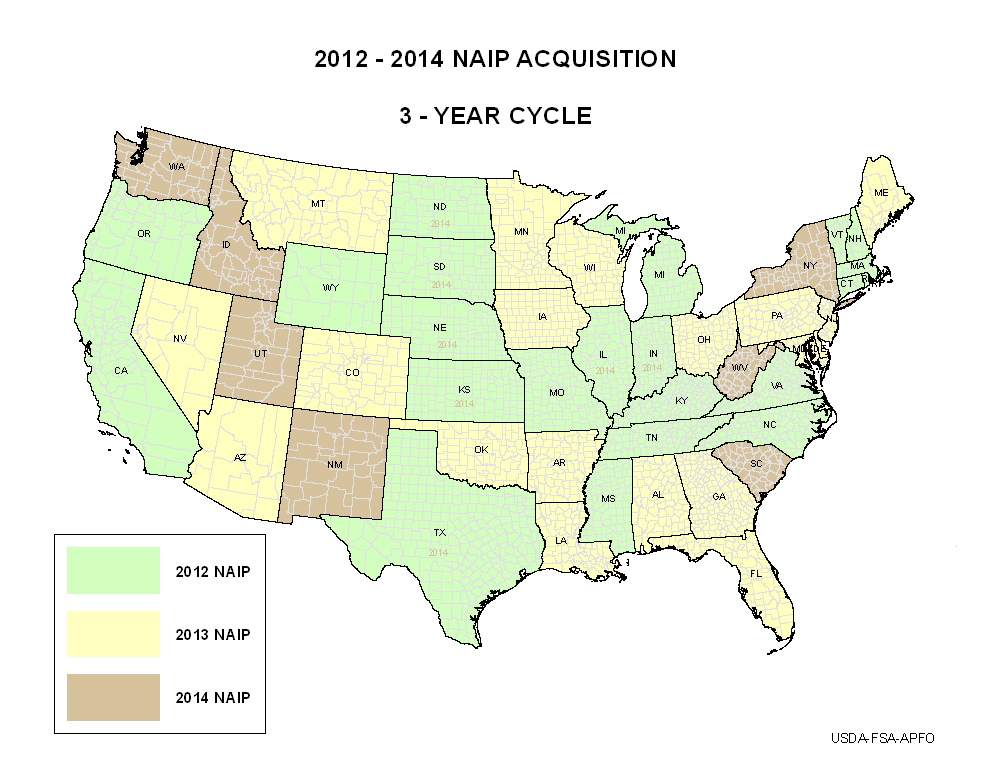
As part of the Department of the Interior’s participation in USDA-FSA’s NAIP, USGS provides funding to acquire 1-m resolution imagery for the conterminous United States on a 3-year cycle. As a result of the agreement, all USGS scientists and their partners have access to the full-resolution images through the EROS Center for their remote sensing applications. The National Geospatial Program also compresses these data and makes them available for download through the National Map Viewer (http://nationalmap.gov/viewer.html) on the Internet and as a Web mapping service, and incorporates them into its products, such as the new U.S. Topo series of electronic topographic maps.
http://www.fsa.usda.gov/FSA/apfoapp?area=home&subject=prog&topic=nai

2012–2014 NAIP acquisition schedule.

