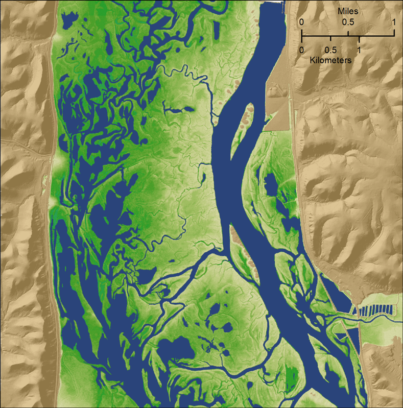
The USGS UMESC is linking high-resolution lidar data with river stage data to develop a spatial simulation model for flood inundation along the Upper Mississippi River System (UMRS). This model will be used to connect field-based studies of relationships among flooding, vegetation succession, and nutrient cycling with downscaled climate models to examine flood-mediated effects of climate change on the biodiversity and biogeochemistry of the UMRS.

Flood duration for a portion of the Upper Mississippi River floodplain. Dark green colors represent lower elevations and longer annual flood durations, while lighter colors represent higher elevations and shorter annual flood durations. Blue areas are permanently inundated.

