This study assessed the impact of prescribed fire and wildfire on forest structure and wildlife habitat. Since 1998, prescribed fires have increased and wildfire suppression has decreased in portions of the Great Smoky Mountains National Park. Recent data collections afforded a unique opportunity to link remotely sensed data, Landsat-based Normalized Burn Ratio Differencing (dNBR) and lidar with field surveys (vegetation sampling and bird surveys) to assess the application of these technologies in species habitat modeling. dNBR provides a measure of the difference between prefire and postfire vegetation based on the difference of an index of the near-infrared and thermal infrared bands from the Landsat Sensor (dNBR = NBR prefire – NBR postfire). That difference is used to classify burned and unburned areas based on the magnitude of the change.
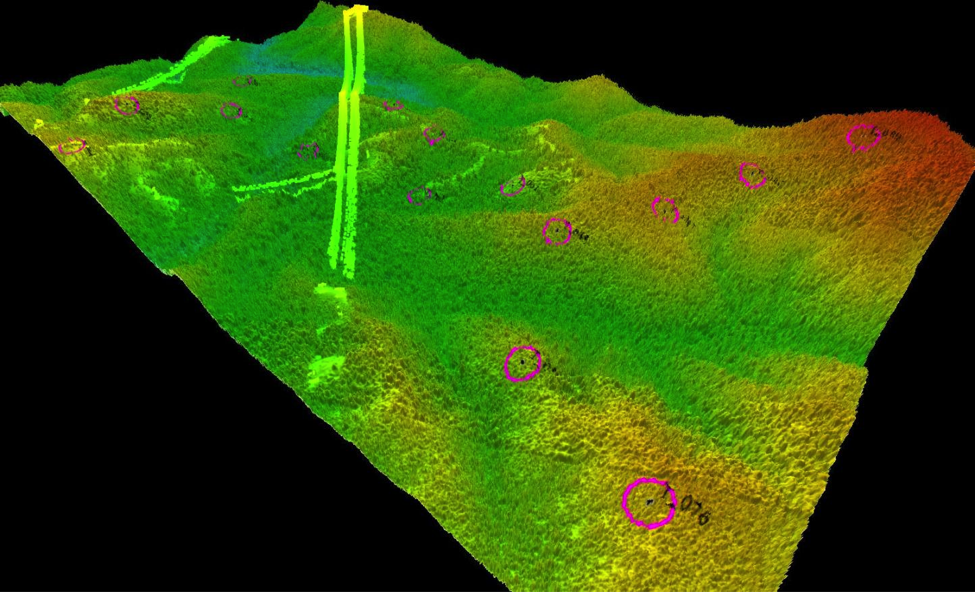
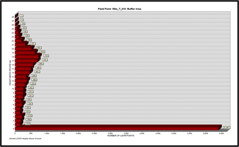
The dNBR data were used to select sites based on fire severity and time since burn. The lidar data were used to capture the three-dimensional structure of the vegetation (e.g., overstory cover, mid-story cover, and average canopy height) for each of the field sites. The structure data are used in conjunction with the bird surveys to model where we expect individual species to occur based on their habitat preferences. Ultimately, this work will lead to a better understanding of the impacts of fire management on forest structure habitat availability for a variety of birds in the park.

Example of the point cloud for one lidar tile. Power lines were classified before analysis. Each magenta circle represents a field survey site.

Sample of the vertical structure for a single field site.

