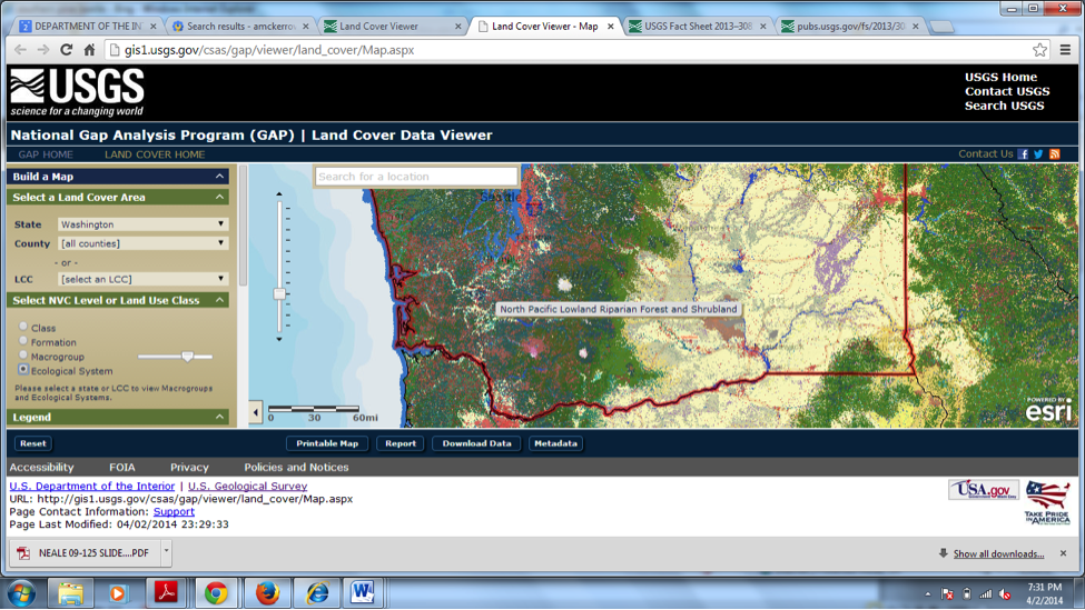
The Gap Analysis Program (GAP) national land cover dataset includes the vegetation and land use patterns of the United States, including Alaska, Hawaii, and Puerto Rico. This national dataset combines land cover data generated by regional GAP projects with Landscape Fire and Resource Management Planning Tools (LANDFIRE) data. Central to the mapping effort were the Landsat Thematic Mapper (TM) and Enhanced Thematic Mapper Plus (ETM+) data. Three dates of imagery (leaf on, leaf off, and spring) were used along with ancillary data to classify the detailed land cover into a seamless national land cover map at 30-m resolution. The map legend is based on NatureServe’s Ecological Systems Classification, which describes vegetation communities at a finer level of thematic detail than previously mapped for the United States. These data are used directly by the program to assess the conservation status of the plant communities and to model the distribution of terrestrial vertebrate species. In addition, a variety of applications have built on those data to answer a diversity of management questions. Work related to insect pest, ecosystem services, wildlife habitat, and conservation of fire-adapted plant communities has begun with either the land cover or the derived species habitat models.
http://gapanalysis.usgs.gov/gaplandcover/

The National Gap Analysis Program’s Land Cover Data Viewer.

