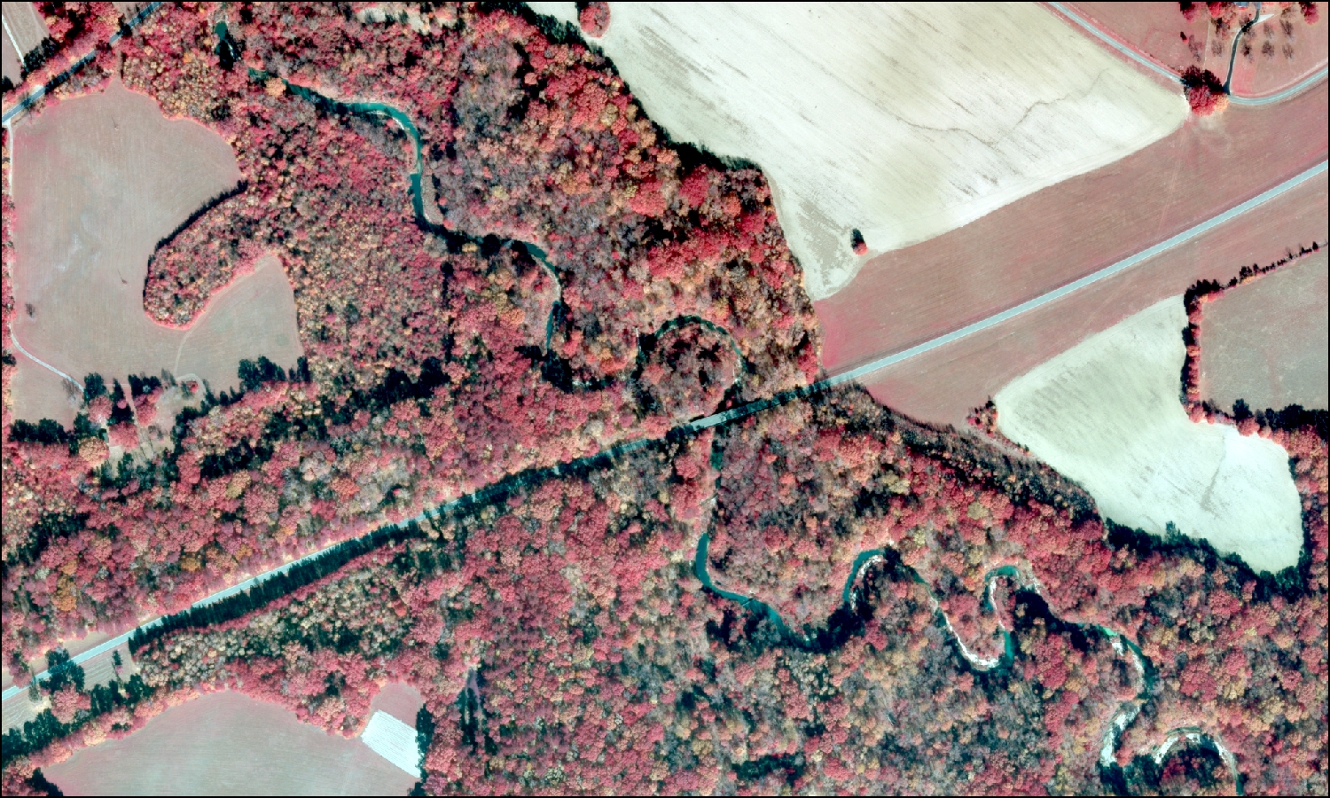
The USGS UMESC is producing a seamless vegetation map of the management area for the Natchez Trace Parkway in the southeastern United States. The UMESC has been conducting vegetation mapping for the NPS for over a decade. These highly accurate and highly detailed vegetation maps are used by individual parks to manage lands and conduct research. High-resolution (0.3 m or better) true color and color infrared digital photography collected during peak fall color is used in a three-dimensional digitizing platform to distinguish vegetation at the Alliance and Association level of the National Vegetation Classification System (NVCS) (http://usnvc.org/) across the entire park. The project is ongoing and the project results will be delivered to the NPS in 2016.
http://www.umesc.usgs.gov/mapping/nps_vip.html

Color infrared photograph of the Natchez Trace Parkway as it crosses Fivemile Creek between Jackson and Natchez, Mississippi, showing a diversity of forests in a working agricultural landscape.

