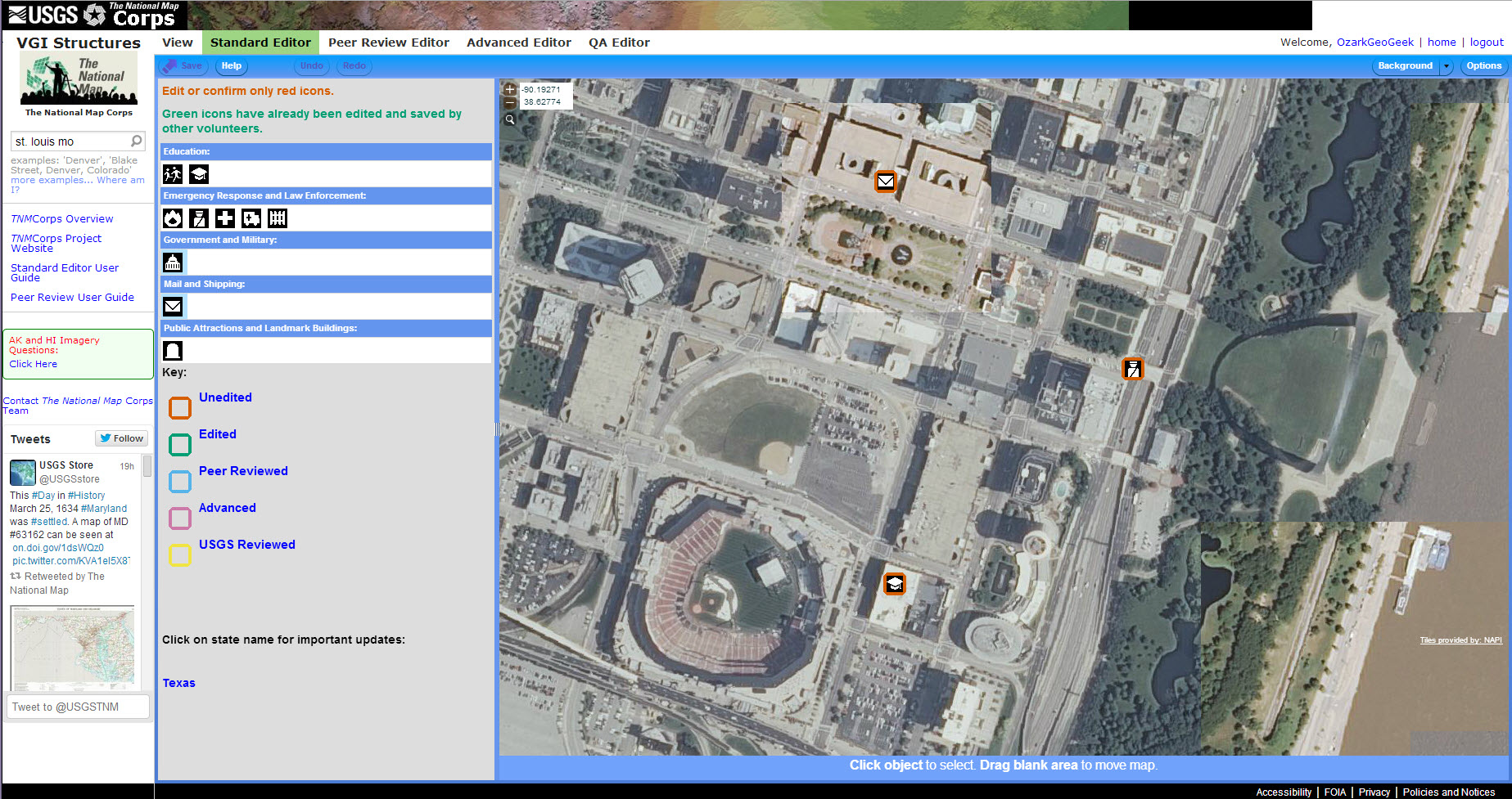
Using crowdsourcing techniques, the USGS Volunteered Geographic Information (VGI) project known as “The National Map Corps” encourages volunteers to collect data about manmade structures in an effort to provide accurate and authoritative spatial map data for the USGS National Geospatial Program’s Web-based The National Map. Citizens collect or improve structures data by adding new features, removing obsolete points, and correcting existing data using a Web-based mapping tool. The tool relies on 1-m resolution digital orthophoto imagery provided by the USDA NAIP as the primary base layer for feature collection. Both newly collected and modified point features become part of the USGS National Structures Database, and include schools, hospitals, post offices, police stations, and other important public buildings. Volunteers include youth from various organizations such as 4-H and scouting, retirees, students, and anyone with an interest in contributing to The National Map. Through their participation, volunteers make significant contributions to the USGS's ability to provide the Nation with accurate mapping information to support response planning for natural hazards and to provide critical data for sustaining and improving the quality of life and economic vitality of the Nation.

The National Map Corps Web Editor. This screenshot shows part of St. Louis, Missouri.

