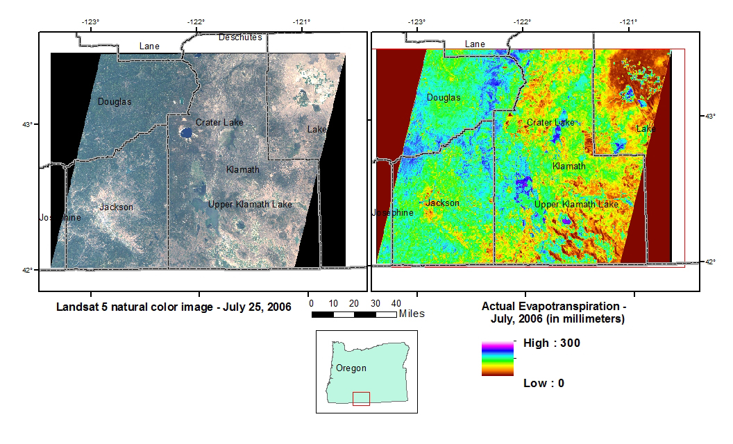
A newly finalized Upper Klamath Basin Comprehensive Agreement developed among the Federal Government, Tribes, States, and water users provides solutions to contentious water issues affecting the region. The agreement made extensive use of Landsat information provided by the USGS in order to estimate consumptive use (evapotranspiration, or ET) of water in the Upper Klamath Basin (located in southern Oregon). Having these ET estimates facilitated an agreement among the parties about how much agricultural land must be retired in order to achieve water savings and minimum in-stream flows. The signing of the historic pact was attended by the Secretary of the Interior, the U.S. Senators from Oregon, the Undersecretary of the Department of Commerce, the Governor of Oregon, and other dignitaries. If this agreement moves forward, and about 18,000 acres of water rights are retired, there will be an ongoing need to verify that the anticipated water savings (30,000 acre-feet on an annual average basis) are actually achieved, and achieved in the right locations in the upper basin. This verification will rely on frequent Landsat imaging and a continuity (redundancy) of operations over a period of decades to track progress and compliance.
http://pubs.usgs.gov/of/2012/1199/

Landsat image of the Upper Klamath Basin, Oregon, and actual evapotranspiration for July 2006.

