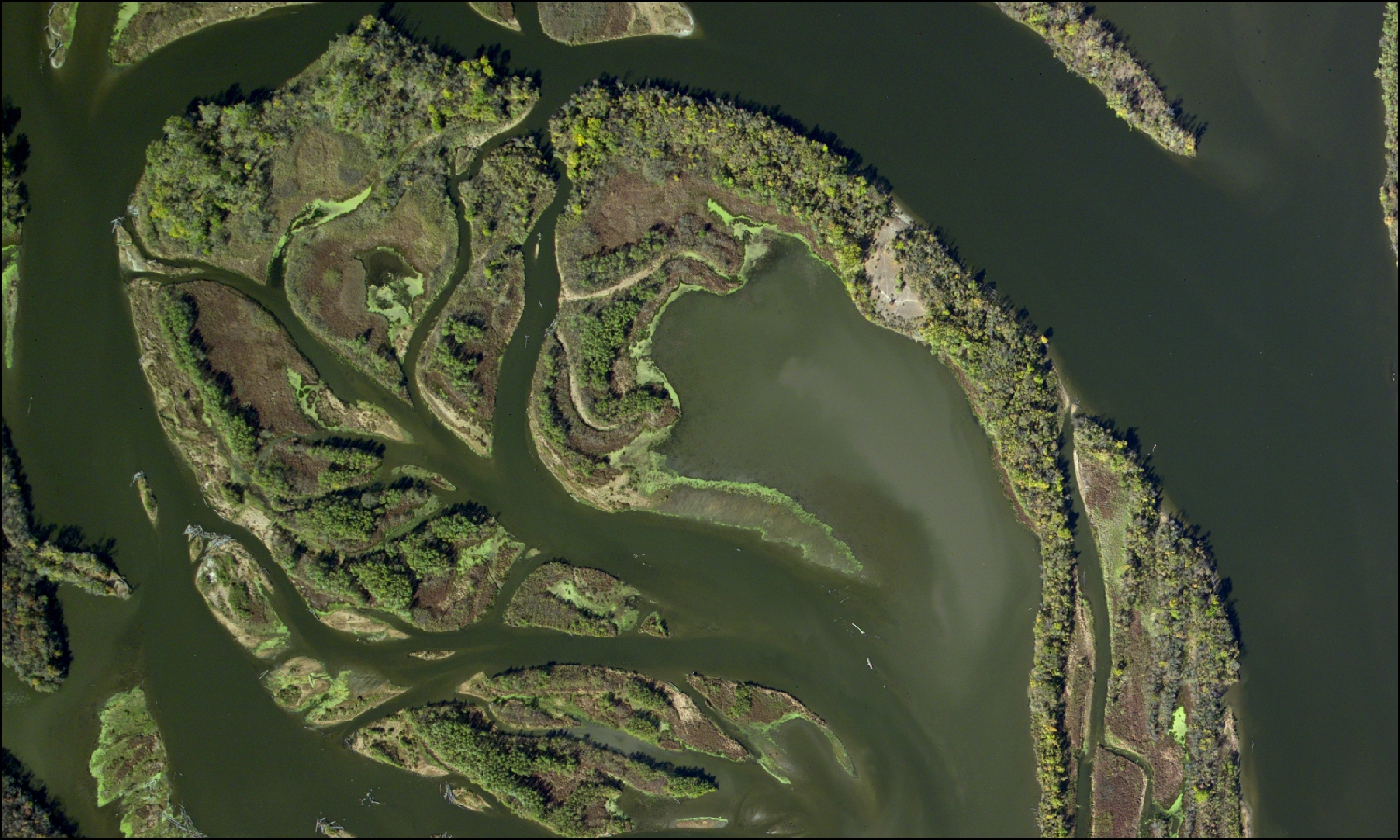
The USGS UMESC is producing a seamless vegetation map of the management area for the Mississippi National River and Recreation Area. The UMESC has been conducting vegetation mapping for the NPS for over a decade. These highly accurate and highly detailed vegetation maps are used by individual parks to manage lands and conduct research. High-resolution true color (0.204 m) and color infrared (0.152 m) digital photography collected during peak fall color is used in a three-dimensional digitizing platform to distinguish vegetation at the Alliance and Association level of the NVCS across the entire park. This project, initiated in 2012, will be delivered to the NPS in 2015.
http://www.umesc.usgs.gov/mapping/nps_vip.html

The island complex at the north end of Spring Lake, Pool 2, in the Mississippi National River and Recreation Area shows a variety of floodplain forests, wetlands, and aquatic vegetation (four-band digital image including red, green, blue, and near-infrared).

