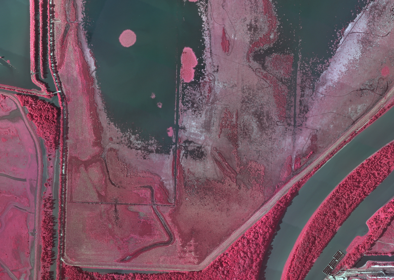
Color infrared and natural color aerial imagery were collected at 6-inch resolution on September 3, 2013, for two preserves in the Illinois River floodplain that are managed by The Nature Conservancy (TNC): Emiquon Preserve and the Merwin Preserve at Spunky Bottoms.
TNC works closely with the U.S. Army Corps of Engineers (USACE), USFWS, the Illinois Natural History Survey, and the University of Illinois to restore and preserve the Illinois River and its floodplain. The imagery will be used to document TNC's ongoing restoration efforts within these two preserves, which includes reestablishing wetlands, increasing open water habitat, and planting prairie and hardwood tree species.

A color infrared aerial image of the lower Emiquon Preserve near Havana, Illinois.

