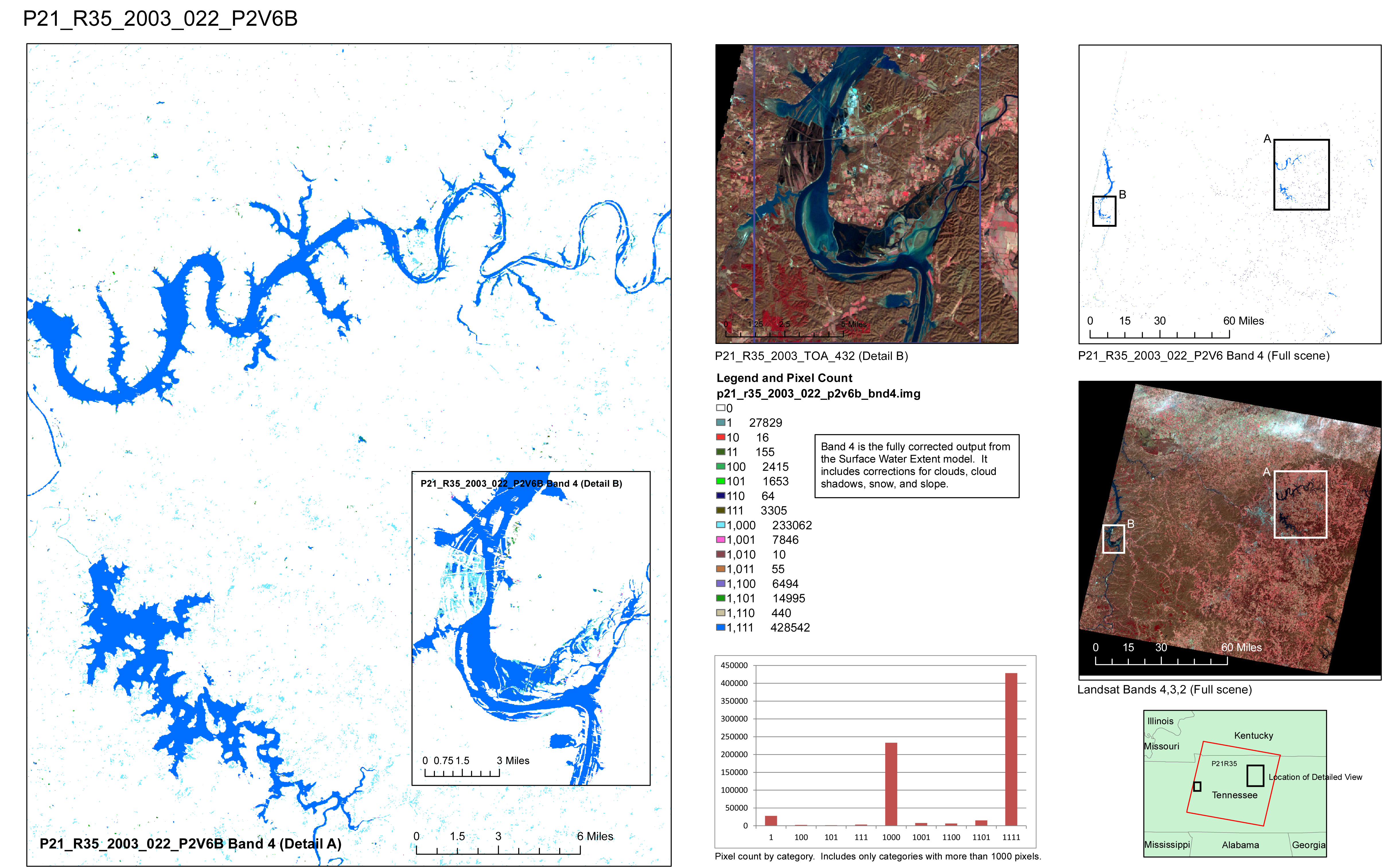
The Global Climate Observing System (GCOS) Terrestrial Essential Climate Variable (ECV) named "Lakes," defined by the global climate research community (http://gosic.org/content/gcos-terrestrial-ecv-lakes), does not meet the science and applications requirements of many U.S. science and resource management organizations. Yet Landsat has the spatial resolution, repeat frequency, and length of record needed to provide surface water information necessary for science, process modeling, and resource management. The dynamics of a large variety of terrestrial surface-water features such as ponds, wetlands, and rivers can be characterized and monitored through the analysis of Landsat data. The USGS Eastern Geographic Science Center (EGSC) has defined a new ECV named “Dynamic Surface Water Extent” (DSWE). The EGSC is assessing DSWE uncertainty through comparison with information derived from other satellite, airborne, and in situ sensors. Various Federal and non-Federal partners are helping the EGSC evaluate and refine the DSWE through its collaborative application in hydrologic modeling, habitat assessment, and other mission activities. Eventual USGS operational production of the DSWE ECV will benefit a wide range of geospatial data users by providing easy access to information that would otherwise be difficult, if not prohibitively time consuming, to generate.
http://remotesensing.usgs.gov/ecv/SWE_overview.php

Multiple Landsat images for each of 60 110 km by 110 km areas spread throughout the United States and Puerto Rico were analyzed as part of the DSWE method development. This is an example of the graphics used to highlight areas of interest or concern for every scene processed.

