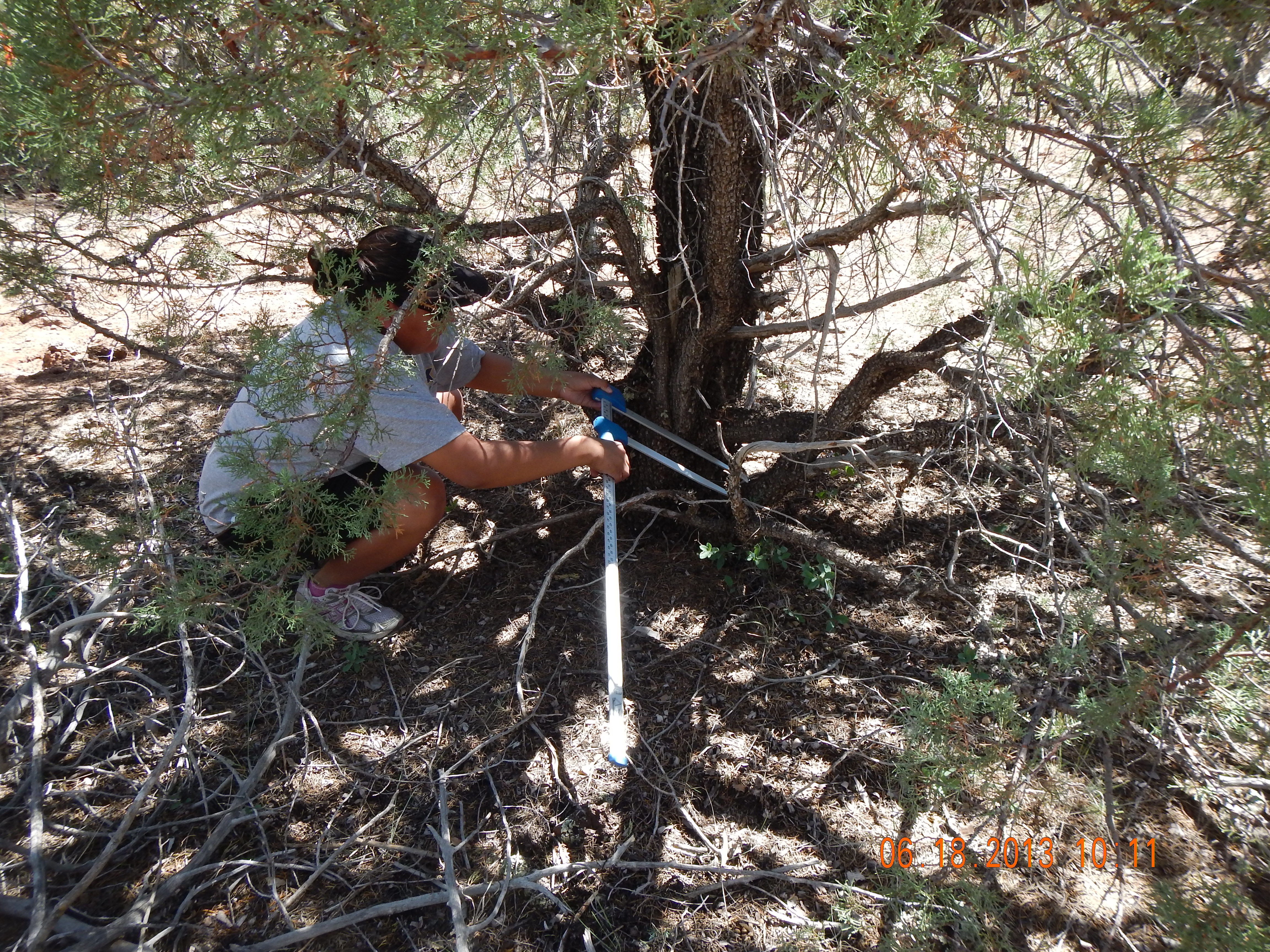
In 2013, the USGS Western Geographic Science Center’s Southwest Geographic Science Team in Flagstaff, Arizona, hosted a student intern under the sponsorship of the USGS Student Interns in Support of Native American Relations (SISNAR) program. The intern, Terri Victor, is a tribal member of the San Carlos Apache Nation and recently received a Master’s Degree in Geography at Northern Arizona University. Ms. Victor participated in a USGS Land Remote Sensing (LRS) research project aimed at developing improved capabilities to map carbon stocks in U.S. land areas by combining Landsat observations with lidar remote sensing. The project is a collaboration between USGS scientists, the Bureau of Indian Affairs (San Carlos Agency), and staff of the San Carlos Apache Tribe’s Forest Resources Program. Ms. Victor used a portable remote sensing instrument (spectral radiometer) to collect data on the spectral reflectance properties of landscape elements such as tree leaves, bark, and soil and field measurements of tree structure in a study area on the San Carlos Apache Reservation. Her contributions support USGS project goals by providing information required for model-based simulations of Landsat and lidar observations, and applications for management of tribal forest resources.

Northern Arizona University graduate student Terri Victor measures forest structural attributes as part of an internship sponsored by the USGS Student Interns in Support of Native American Relations (SISNAR) program.

