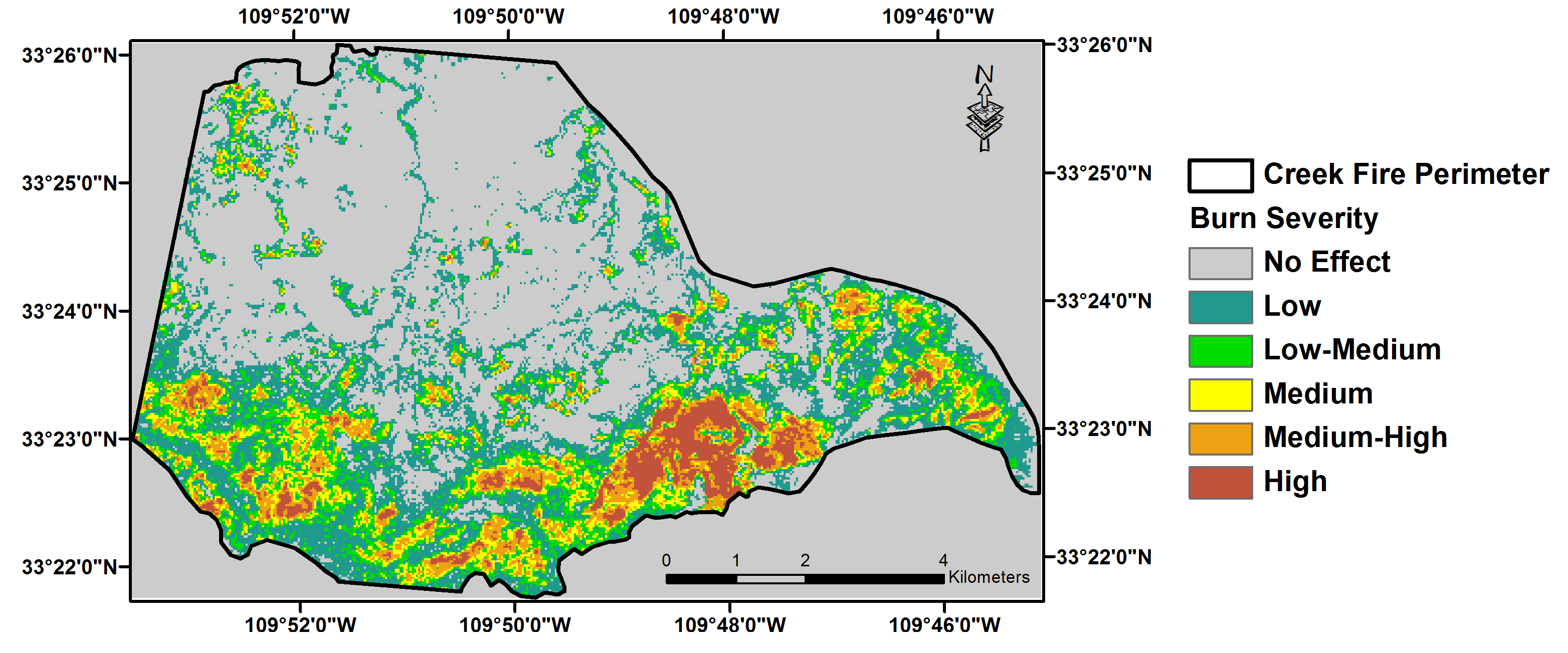
Landsat 8 and high-resolution multispectral WorldView-2 data (1.84 m at nadir) were used to estimate burn severity of the largest fire of Arizona in 2013, the Creek Fire in the San Carlos Apache Nation. Such burn severity analysis is crucial in estimating carbon loss and quantifying the regional carbon budget given the projected more frequent fire occurrences in this region and in providing guidance for the tribal forest management in the San Carlos Apache Nation. This project is co-sponsored by the Land Change Science and Land Remote Sensing programs under the Mendenhall Postdoc research opportunity.

Landsat 8 derived burn severity map of the Creek Fire in the San Carlos Apache Nation.

