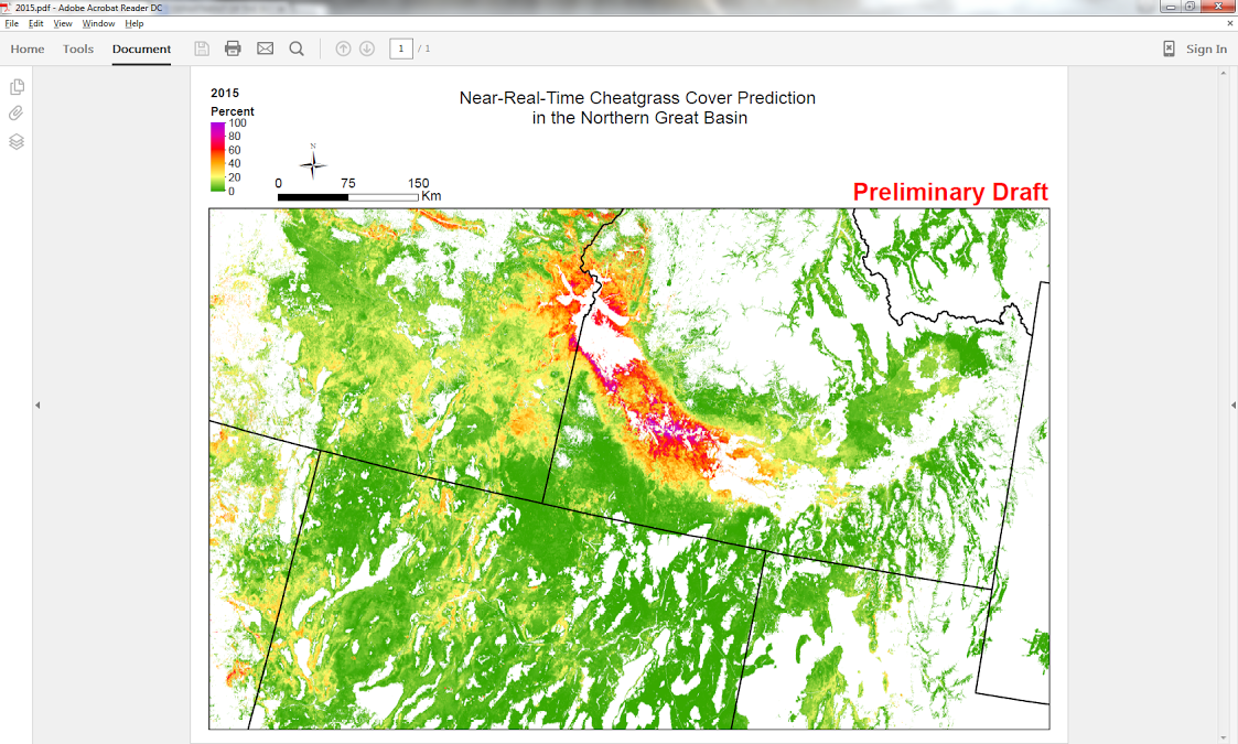
Cheatgrass is an invasive annual grass that alters fire regimes when it spreads into western U.S. sagebrush ecosystems. The increased frequency and intensity of wildfires and the higher probability of stand-replacing events not only threatens lives and property, but also degrades critical sagebrush ecosystems for wildlife habitat such as sage-grouse. To characterize the dynamics and spread of this invasive grass across the landscape, USGS scientists have developed a machine learning, phenology–based algorithm using Moderate Resolution Imaging Spectroradiometer (MODIS) 250-m Normalized Difference Vegetation Index (NDVI) data to map the percent cover of cheatgrass in the northern Great Basin for 2000–2015. A spatially explicit time series of cheatgrass cover was used to track the historical incidence of cheatgrass die-offs as well as to identify areas prone to cheatgrass expansion. Maps of areas vulnerable to future cheatgrass invasion have been produced as well as near-real-time maps of existing cheatgrass (as of late June of the current year) to facilitate habitat preservation and identify wildfire potential. The team at EROS has also supplemented National Land Cover Database (NLCD) USGS/BLM rangeland mapping components with site potential maps and 30-m NDVI maps downscaled from MODIS data for critical phenological periods when Landsat data are unavailable. Plans are to expand cheatgrass mapping into Wyoming and the central Great Basin, leveraging NLCD USGS/BLM high-resolution field sample block map products for model calibration and validation.
http://lca.usgs.gov/lca/epa_cheatgrass/index.php

Near-real-time cheatgrass cover prediction in the northern Great Basin.

