In the semiarid grasslands of southeastern Arizona, historical degradation and uncertainty about local responses to future climate change threaten the continued productivity of the region. Land managers are implementing watershed restoration measures to promote climate change resilience and preserve ecological function while allowing traditional land uses such as livestock grazing. Restoration techniques include placing structures made of rock and wood (e.g., gabions, check dams, trincheras, one-rock dams, and post vanes) in drainages to induce streamflow meander, reduce the speed of water flow, lower erosion rates, and increase water infiltration and riparian plant biomass. USGS scientists are evaluating the effectiveness of these measures using a variety of remote sensing sources and analysis methods. Multispectral Landsat Thematic Mapper data provide a long-term (1984 to present) resource for investigating the impact of past restoration projects on the vegetation growth in and around regional stream channels. Terrestrial lidar data and multispectral (4-band) imagery acquired via small Unmanned Aerial Systems (sUAS) are used to monitor current restoration projects. Lidar-derived high-resolution digital surface models allow researchers to track aggradation and erosion in stream channels and assess the effect of restoration on sediment retention, while sUAS imagery can be combined with field measurements of plant cover and species composition to quantify vegetation response to restoration efforts. Land managers will use this information to improve restoration designs based on site specific restoration goals. Aerial lidar acquired from local governments is additionally being used to model pollinator habitat and prioritize areas for restoration.
http://geography.wr.usgs.gov/science/aridlands/

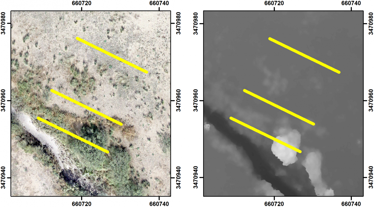
Vegetation transects mapped on sUAS imagery (left) and derived digital surface model (right) before restoration at Wildcat Canyon near Douglas, Arizona. Wildcat Canyon channel is in the lower right of each image. Each transect is 20 m long.

