Landsat data are an invaluable resource of moderate-resolution satellite imagery available to the public for free through the USGS. These data, available from 1972 through the present, have been used in countless studies, including monitoring land use change, deforestation, glacier recession, sea ice extent, invasive species, and population growth. To help assess the uses and value of Landsat imagery, social scientists at the USGS Social and Economic Analysis (SEA) Branch of the Fort Collins Science Center in Colorado are leading a long-term study, which includes surveys and case studies of Landsat imagery users. A series of surveys provides longitudinal data on how the users and uses of the imagery are changing over time in response to changes in the provision of the imagery, which include the shift to online access (including the development of the full-resolution browse), the no-cost downloading policy, and the launch and decommission of different Landsat satellites. The results allow analysts to explore the value of the imagery. Multiple case studies that focus on the use and benefits of Landsat imagery in water, agriculture, forestry, and private sector technological applications provide context and depth to complement the more quantitative survey data. In 2016, a report on the results of the most recent 2014 survey of Landsat users was published (https://pubs.usgs.gov/of/2016/1032/ofr20161032.pdf). Additional analysis of the 2014 survey data, as well as 2015 user data from the USGS Earth Resources Observation and Science (EROS) Center, was completed to help inform the collection of Landsat 10 requirements.
https://www.fort.usgs.gov/landsat-study

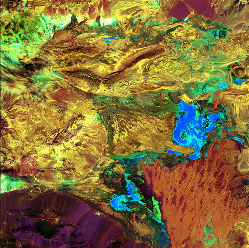
“Earth as Art” Landsat image of the Great Salt Desert in Iran.

